Tatamagouche Bay
- Saltwater
- Bay
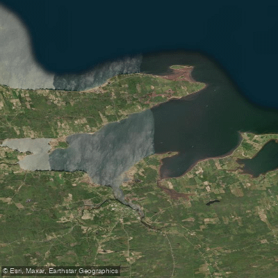
Tatamagouche Bay
- Saltwater
- Bay
- Sq. miles
- 16
- Boat Ramps
- 0
- Access Points
- 0
- Campsites
- 0
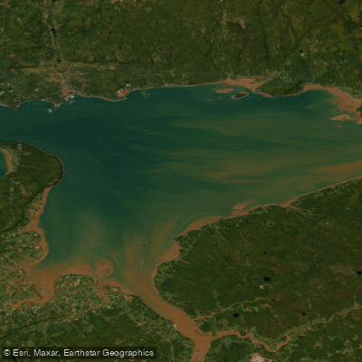
Tatamagouche Bay is a coastal bay on the Northumberland Strait in Nova Scotia. The name derives from the Mi'kmaq term for "Meeting of the waters," and the bay is situated near the village of Tatamagouche. The bay is part of a coastline characterized by sandstone cliffs, pocket beaches, and sand spits. The bay itself presents significant open-water crossings for paddlers; one account details a planned route involving two major crossings within the bay, one of 2.5 miles and another of 3.2 miles. These open stretches can become hazardous in wind, with conditions capable of whipping up whitecaps and streamers, requiring careful seamanship. The broader Northumberland Strait coastline here sees minimal commercial boat traffic outside of lobster season, with mostly small outboard sport fishing boats present.
For access, paddlers can utilize several points near the village. Patterson’s Wharf and Nelson Memorial Park, which overlook the bay, are directly accessible from the Trans Canada Trail system. The trail itself, also known as the Short Line Trail, runs along the south shore of the bay, providing a multi-use path that connects to these access points. North Shore Adventure Outfitters, located on Main Street in Tatamagouche, offers kayak and paddleboard rentals, facilitating trips onto the bay. Nearby Rushton’s Beach Provincial Park and Blue Sea Beach Provincial Park feature broad sandbars and long sandy beaches, which are accessible at low tide and could serve as potential landing spots. Paddlers should be acutely aware of tidal influence, wind exposure over the long fetches of the bay, and the potential for surf on beach entries, particularly at the provincial parks. The area is known for wildlife, including gray seals hauled out on ledges off points like Oak Island and Schooner Point.
Water access, boat ramps & amenities
Learn how to get on Tatamagouche Bay. Uncover great paddling access points, boat ramps, and all the facilities you need for an unforgettable day on the water. Some locations shown may border or include private property. Always check property boundaries and applicable regulations before visiting. PaddleWays's Public & Private Land layer can help you plan your access with confidence.
Paddle smarter with real-time insights
Whether you're en route and conditions shift or you're looking for the best spot based on current flows, we enable you to make informed decisions on the fly.








Find Places to Paddle

Over 400,000 Places to Paddle
Every user gets free access to launch points, boat ramps, and public property parcels.


Tides, wind & water conditions (10 day forecast)
On open water, wind and tide matter as much as the weather. See the best times to paddle Tatamagouche Bay and check the marine forecast before you launch.
Loading tide predictions…
Paddling near Tatamagouche Bay
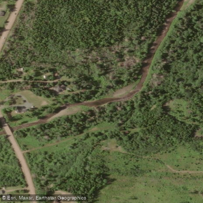
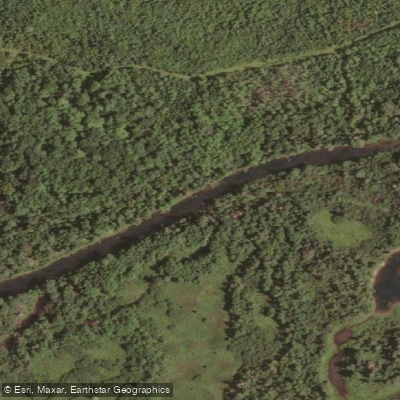
Explore Ns waters
Top paddling waters
No waters available right now.
Popular Cities
Loading popular cities...
Explore near Tatamagouche Bay

Smarter Paddling Starts in the App.
Paddleways gives you everything you need to plan smarter, paddle better, and own every trip from first launch to takeout.