Kathleen Lake
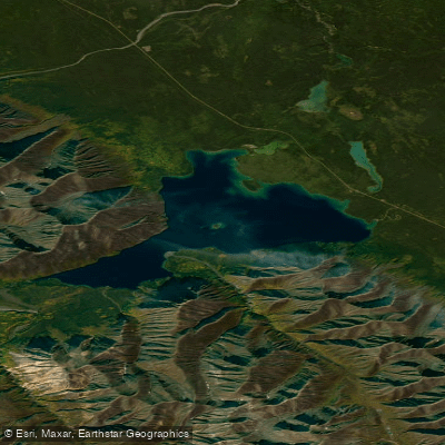
Kathleen Lake
- Boat Ramps
- 1
- Access Points
- 0
- Campsites
- 0
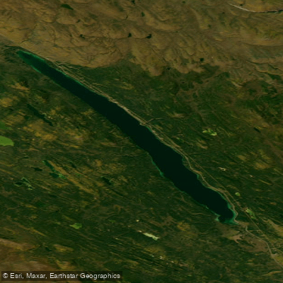
Kathleen Lake is located within Kluane National Park and Reserve in the Yukon, south of Haines Junction at Haines Highway Kilometre 219.7. It is the largest lake wholly within the park's boundaries, covering 3,376 hectares (8,340 acres) at an elevation of 731 metres (2,398 ft). The lake is notably deep, with a maximum depth of 111 metres (364 ft) and an average depth of 52.2 metres (171 ft). Its waters are exceptionally clear, and the lake supports a landlocked population of kokanee salmon — a freshwater-resident sockeye — alongside lake trout and Arctic grayling.
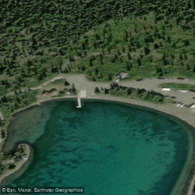
The day-use area on the lake's shore provides a boat launch and gravel beach suitable for launching canoes or kayaks. Kathleen Lake Campground, open from mid-May to mid-September, is a short walk from the lake and offers 39 sites with bear-proof storage lockers, a cook shelter, fire rings, and an outdoor amphitheatre. No water is available on-site at the campground, so paddlers should plan accordingly.
Wind is the primary hazard on Kathleen Lake. Conditions can deteriorate rapidly, with waves developing with little warning even on clear days. Paddling early in the morning is advisable, as winds tend to increase as the day progresses. The lake's size makes it susceptible to significant wave action. The Yukon.ca campground listing explicitly cautions paddlers to beware of wind and waves that can appear without warning.
Motorboats are permitted on Kathleen Lake, making it one of only two lakes in the park where motorized vessels are allowed. Paddlers can also extend trips to Louise Lake as a flatwater route. For those seeking quieter conditions, Mush and Bates Lakes offer a more remote experience with fewer visitors.
A Parks Canada angling licence is required for fishing within the park; Yukon Territorial Fishing Licences are not valid. All kokanee salmon and rainbow trout must be released. Backcountry overnight trips between April 1 and November 15 require registration and a backcountry permit, and bear-resistant food canisters are mandatory in most areas.
The lake's Southern Tutchone name, Mät'àtäna Mǟn, translates to "something frozen inside the lake." The surrounding landscape includes snow-capped peaks, and the King's Throne trail — a 5 km ascent to a glacially-formed alpine cirque — provides elevated views over the lake.
Water access, boat ramps & amenities
Learn how to get on Kathleen Lake. Uncover great paddling access points, boat ramps, and all the facilities you need for an unforgettable day on the water. Some locations shown may border or include private property. Always check property boundaries and applicable regulations before visiting. PaddleWays's Public & Private Land layer can help you plan your access with confidence.
Paddle smarter with real-time insights
Whether you're en route and conditions shift or you're looking for the best spot based on current flows, we enable you to make informed decisions on the fly.







Yt licenses and regulations
No licenses or regulations available for Yt.
Find Places to Paddle

Over 400,000 Places to Paddle
Every user gets free access to launch points, boat ramps, and public property parcels.


Water and weather conditions (10 day forecast)
See the best times to paddle Kathleen Lake and check the forecast before you go.
No forecast data available.
Paddling near Kathleen Lake
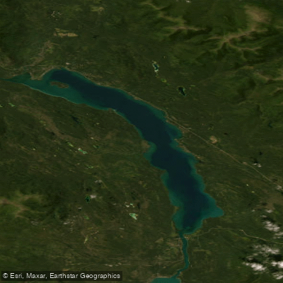
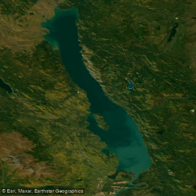
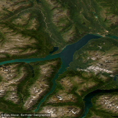
Explore Yt waters
Top paddling waters
No waters available right now.
Popular Cities
Loading popular cities...
Explore near Kathleen Lake
Access points
Nearby waters
More in Yt

Smarter Paddling Starts in the App.
Paddleways gives you everything you need to plan smarter, paddle better, and own every trip from first launch to takeout.