Pelly River
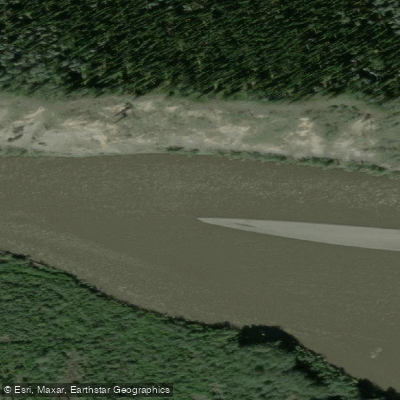
Pelly River
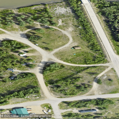
- Boat Ramps
- 0
- Access Points
- 0
- Campsites
- 1
The Pelly River flows approximately 530 kilometres westward through south-central Yukon, originating in the Selwyn Mountains and emptying into the Yukon River near Fort Selkirk. The Selkirk First Nation name for the river is Ts'enkinyak Chu, meaning "water running between the mountains." The river passes through the communities of Ross River, Faro, and Pelly Crossing along its course. Common put-in points are Ross River or Faro, with take-outs at Pelly Crossing or, for those continuing on the Yukon River, Dawson City. The full Faro-to-Dawson City route covers roughly 633 kilometres and typically takes around 15 days.
The river's character varies considerably by section. Ross River to Faro is Class I water. Faro to Pelly Crossing covers approximately 298 kilometres of Class II rapids, with the possibility of Class III conditions at high water. Pelly Crossing to the Yukon River confluence returns to Class I. The current on the upper sections is slower than on the Yukon River, making 40 kilometres per day a more realistic daily target than 60. The river is relatively wide with a good current through much of its length, though paddlers should remain alert to submerged rocks that can be difficult to spot.
Two notable rapids between Faro and Pelly Crossing are Little Fish Hook Rapid, located roughly three kilometres above the Glenlyon River confluence, and Big Fish Hook Rapid, found where the river swings sharply left at a cliff face. Both are Class II. Just below the MacMillan River confluence lies Granite Canyon, a seven-kilometre stretch confined by cliffs up to 75 metres high, with a swift current and standing waves through three sets of rapids. Near the bottom of Granite Canyon stands Needle Rock, a prominent 60-foot rock spire rising from the river. A campsite is located at Needle Rock Creek just below the canyon. For those paddling the full river from its headwaters, Hoole Canyon is a significant obstacle requiring a 1.8-kilometre portage up a steep 300-foot bank on river left; missing the take-out before the "White Wall" would be serious.
The river flows through the Tintina Trench, a major flyway for Arctic migratory birds. Wildlife commonly sighted along the banks includes black bear, moose, wolf, caribou, beaver, muskrat, fox, eagle, and trumpeter swan. Lynx are also present in the area. The historic site of Fort Selkirk sits near the Pelly's confluence with the Yukon River and is accessible only by water. In the lower sections, river water becomes silty, and paddlers are advised to collect drinking water from clear side streams when available.
Water access, boat ramps & amenities
Learn how to get on Pelly River. Uncover great paddling access points, boat ramps, and all the facilities you need for an unforgettable day on the water. Some locations shown may border or include private property. Always check property boundaries and applicable regulations before visiting. PaddleWays's Public & Private Land layer can help you plan your access with confidence.
Paddle smarter with real-time insights
Whether you're en route and conditions shift or you're looking for the best spot based on current flows, we enable you to make informed decisions on the fly.







Yt licenses and regulations
No licenses or regulations available for Yt.
Find Places to Paddle

Over 400,000 Places to Paddle
Every user gets free access to launch points, boat ramps, and public property parcels.


Water and weather conditions (10 day forecast)
See the best times to paddle Pelly River and check the forecast before you go.
PELLY RIVER AT PELLY CROSSING
All Flow Stations
Paddling near Pelly River
Explore Yt waters
Top paddling waters
No waters available right now.
Popular Cities
Loading popular cities...
Explore near Pelly River

Smarter Paddling Starts in the App.
Paddleways gives you everything you need to plan smarter, paddle better, and own every trip from first launch to takeout.