Winteringham Haven
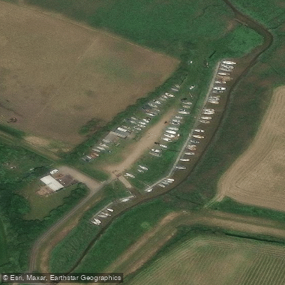
Winteringham Haven
Winteringham Haven sits at the northern end of Low Burgage, roughly half a mile from the village of Winteringham on the south bank of the Humber Estuary.
It lies close to an ancient Roman crossing point of the Humber and has served as a working waterway for centuries, with corn, malt, coal, and timber once moving through on Humber barges.
From the early twentieth century, steel and slag from the Scunthorpe steelworks were transported by rail to the Haven for onward shipment.
Today the Haven is an access point for the South Humber Heritage Trail, with a section of the route running west along the Humber bank to the village of Whitton, approximately three miles away.
The estuary foreshore here forms part of an internationally protected nature conservation area, offering good opportunities to observe waders, wildfowl, and occasional marsh harriers across the broad tidal flats.
Nearby points of interest
Find excellent paddling spots, easy access to boat ramps, and all the amenities you need for a memorable day. Your adventure starts here.
Water and weather conditions (10 day forecast)
Check the forecast at Winteringham Haven before you go paddling.
No forecast data available.
Paddling near Winteringham Haven
River Aire
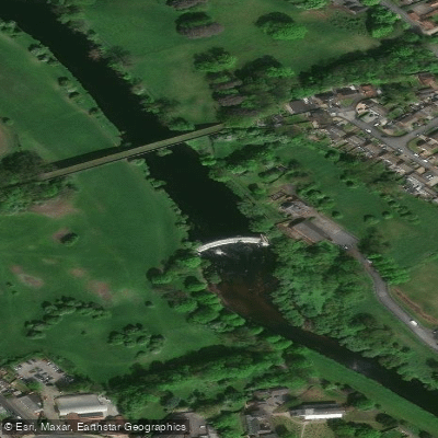
River Wharfe

HUMBER UPPER
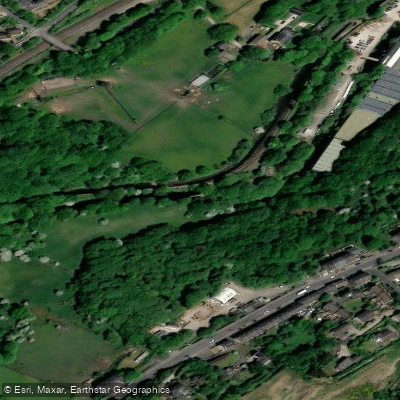
River Colne
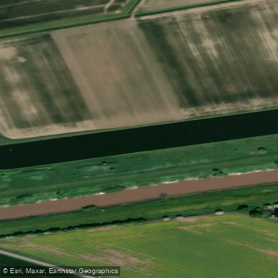
Aire and Calder Navigation

HUMBER MIDDLE

River Dearne
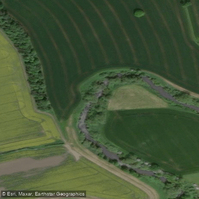
River Nidd
RIBBLE
River Ouse
England licenses and regulations
Explore England waters
Top paddling waters
No waters available right now.
Popular Cities
Loading popular cities...
Explore near Winteringham Haven
Nearby spots
Nearby waters
More in England

Smarter Paddling Starts in the App.
Paddleways gives you everything you need to plan smarter, paddle better, and own every trip from first launch to takeout.