River Kent
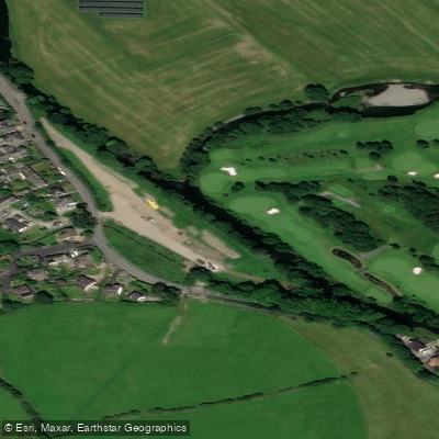
River Kent
- Boat Ramps
- 0
- Access Points
- 9
- Campsites
- 2
The River Kent is one of the longest rivers in the Lake District, located in Cumbria, and stretches approximately 20 miles from its source. It flows from the valley of Kentmere southward through Kendal before eventually reaching Morecambe Bay, tracing the boundary of the Lake District National Park along the way. The river passes through several notable locations including Kendal and Sedgwick, and is notable for the abundance of mills found along its banks.
The river offers a range of paddling grades across its length, making it suitable for paddlers of varying experience levels. The section from Scroggs Bridge to Burneside is graded 2/3 with some grade 4 features and weirs. From Burneside downstream to Kendal the gradient eases to grade 1-2, though Gooseholme Weir requires attention in this section. The lower section from Scroggs Weir to Sedgwick Bridge is graded 4, and near Sedgwick the river passes through a rock gorge that is particularly popular with white water paddlers following heavy rainfall.
Water levels are an important consideration before paddling. The white water sections are most suitable after significant rainfall, and paddlers are advised to check levels before setting out. The river contains several weirs throughout its length, and care should be taken to inspect and portage where necessary. Paddlers should be confident in their ability to handle the relevant grade before committing to any section.
The River Kent is designated a Special Area of Conservation, primarily due to its importance as a habitat for the endangered White-clawed Crayfish. This designation reflects the ecological sensitivity of the river, and paddlers should be mindful of their impact on the environment while on the water.
Overall, the Kent is a popular white water destination in the north of England, drawing paddlers seeking technical challenge on its lower sections while also offering more accessible stretches for those developing their skills on the upper and middle reaches.
Water access, boat ramps & amenities
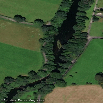
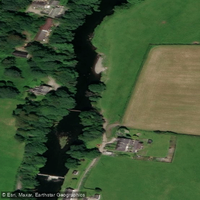
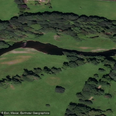
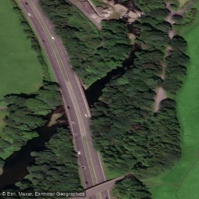
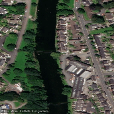
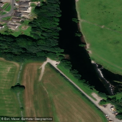
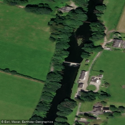
Learn how to get on River Kent. Uncover great paddling access points, boat ramps, and all the facilities you need for an unforgettable day on the water. Some locations shown may border or include private property. Always check property boundaries and applicable regulations before visiting. PaddleWays's Public & Private Land layer can help you plan your access with confidence.
Paddle smarter with real-time insights
Whether you're en route and conditions shift or you're looking for the best spot based on current flows, we enable you to make informed decisions on the fly.








Find Places to Paddle

Over 400,000 Places to Paddle
Every user gets free access to launch points, boat ramps, and public property parcels.


Water and weather conditions (10 day forecast)
See the best times to paddle River Kent and check the forecast before you go.
Staveley Village
All Flow Stations
Paddling near River Kent
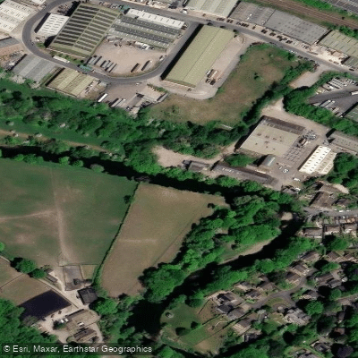
River Aire
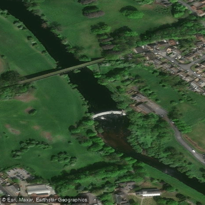
River Wharfe

HUMBER UPPER
River Colne

River Dearne
RIBBLE
River Nidd
River Don

HUMBER MIDDLE
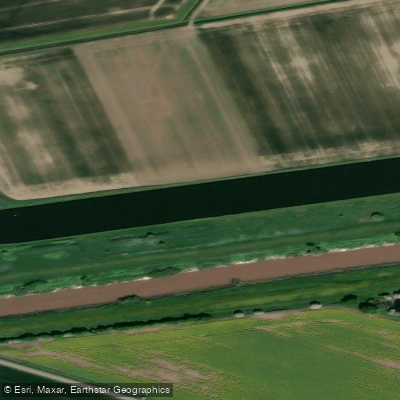
Aire and Calder Navigation
Explore England waters
Top paddling waters
No waters available right now.
Popular Cities
Loading popular cities...
Explore near River Kent
Access points
Nearby waters
More in England

Smarter Paddling Starts in the App.
Paddleways gives you everything you need to plan smarter, paddle better, and own every trip from first launch to takeout.