River Lune
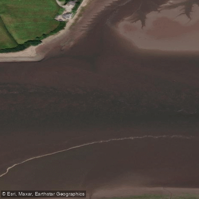
River Lune
- Boat Ramps
- 0
- Access Points
- 5
- Campsites
- 6
The River Lune is a 52-mile river in the North West of England, crossing the border between Cumbria and Lancashire. It is well established in the paddling community as a white water and playboating river, offering a range of grades suitable for paddlers of varying experience levels. The upper section from Tebay to the Rawthey Confluence runs at Grade 3 and can reach Grade 4 in high water conditions. The remainder of the river is generally Grade 2, with the notable exception of Halton Rapids, which provides Grade 3 water. This variety means the Lune accommodates both beginners and more experienced paddlers looking for technical challenge.
Halton Rapids is one of the most prominent paddling destinations on the river, located approximately one kilometre upstream of the M6 bridge, north west of Lancaster. The top of the rapids presents the most technical water, becoming progressively less demanding further downstream. Paddle UK members can access parking, toilets, and shower facilities at Halton Mill by prior arrangement, requiring completion of an application form and a one-off payment of £10 for a key fob and parking pass. Paddlers should be aware of a weir and hydro facility on river right above Halton, which poses a significant danger. There are no known safe exit points between Crook O' Lune and Forge Weir downstream. The area is also popular with anglers, and paddlers are encouraged to share the space respectfully.
A notable landmark along the river is the Lune Aqueduct, which carries the Lancaster Canal 53 feet above the river. Designed by John Rennie, the aqueduct is just under 665 feet long and is considered a significant feat of civil engineering.
Access to parts of the river carries important legal and practical considerations. British Canoeing has been unable to reach an access agreement with the Underley and Rigmaden Estates for the Rigmaden to Kirkby Lonsdale section. The estates maintain that permission is required to paddle where the river flows through their land. British Canoeing acknowledges that the legal position on paddling unregulated, non-tidal rivers in England is unclear, and places responsibility for the decision to paddle on individual paddlers. Access to and from the river should be via public rights of way or with landowner permission. Parking at some access and egress points can be limited due to narrow roads and agricultural traffic.
Water access, boat ramps & amenities
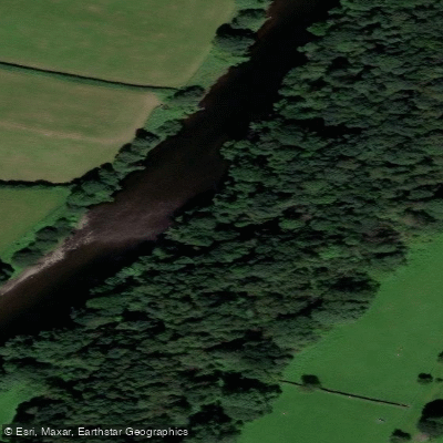
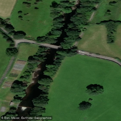
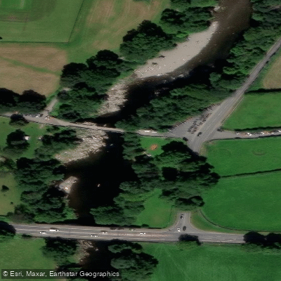
Learn how to get on River Lune. Uncover great paddling access points, boat ramps, and all the facilities you need for an unforgettable day on the water. Some locations shown may border or include private property. Always check property boundaries and applicable regulations before visiting. PaddleWays's Public & Private Land layer can help you plan your access with confidence.
Paddle smarter with real-time insights
Whether you're en route and conditions shift or you're looking for the best spot based on current flows, we enable you to make informed decisions on the fly.








Find Places to Paddle

Over 400,000 Places to Paddle
Every user gets free access to launch points, boat ramps, and public property parcels.


Water and weather conditions (10 day forecast)
See the best times to paddle River Lune and check the forecast before you go.
Killington
All Flow Stations
Paddling near River Lune
River Aire
River Wharfe

HUMBER UPPER
River Colne

River Dearne
RIBBLE
River Nidd
River Don

HUMBER MIDDLE
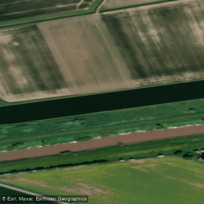
Aire and Calder Navigation
Explore England waters
Top paddling waters
No waters available right now.
Popular Cities
Loading popular cities...
Explore near River Lune
Access points
Nearby waters
More in England

Smarter Paddling Starts in the App.
Paddleways gives you everything you need to plan smarter, paddle better, and own every trip from first launch to takeout.