Bon Secour Bay
- Saltwater
- Bay
Bon Secour Bay
- Saltwater
- Bay
- Sq. miles
- 99
- Boat Ramps
- 4
- Access Points
- 0
- Campsites
- 5
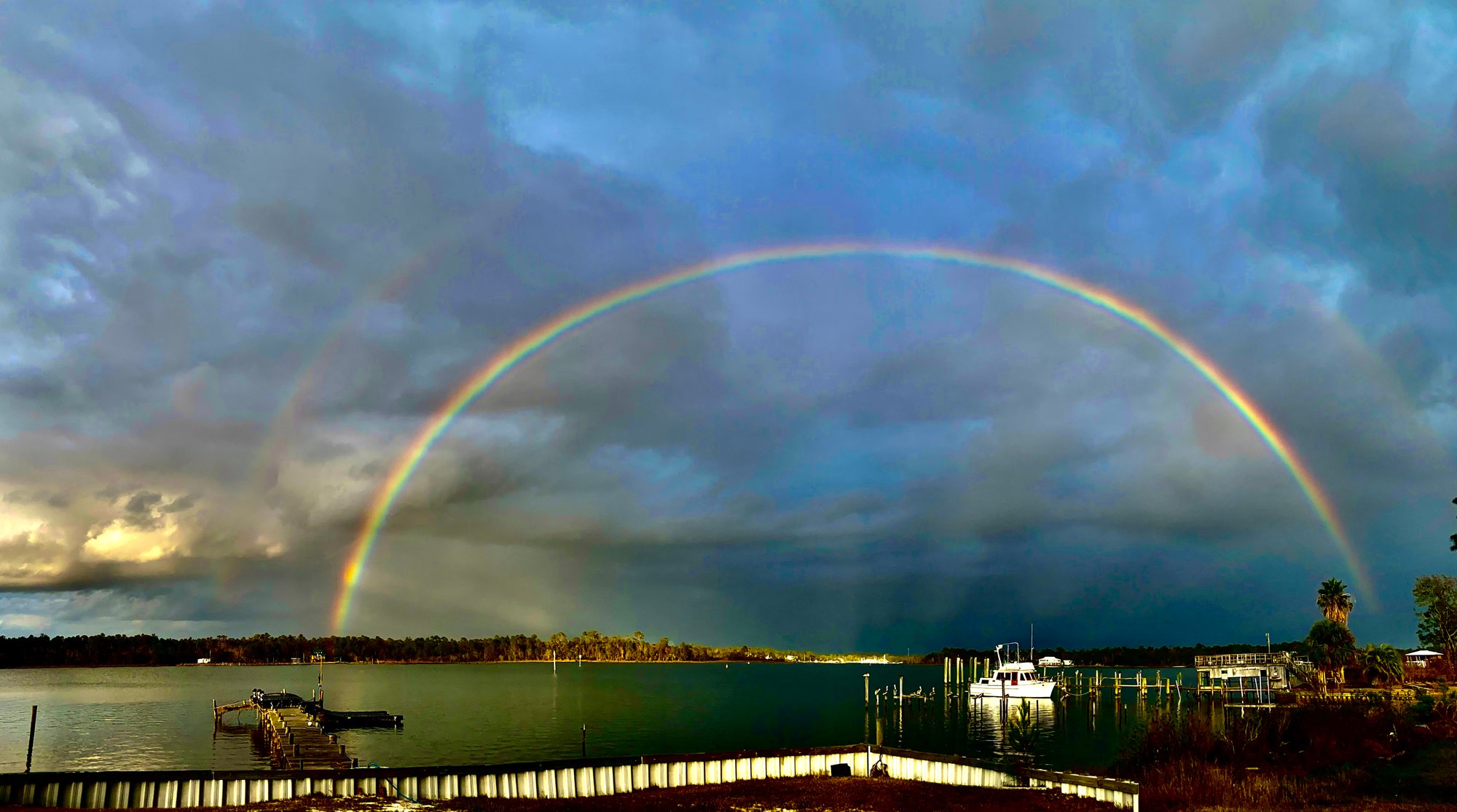
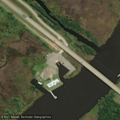
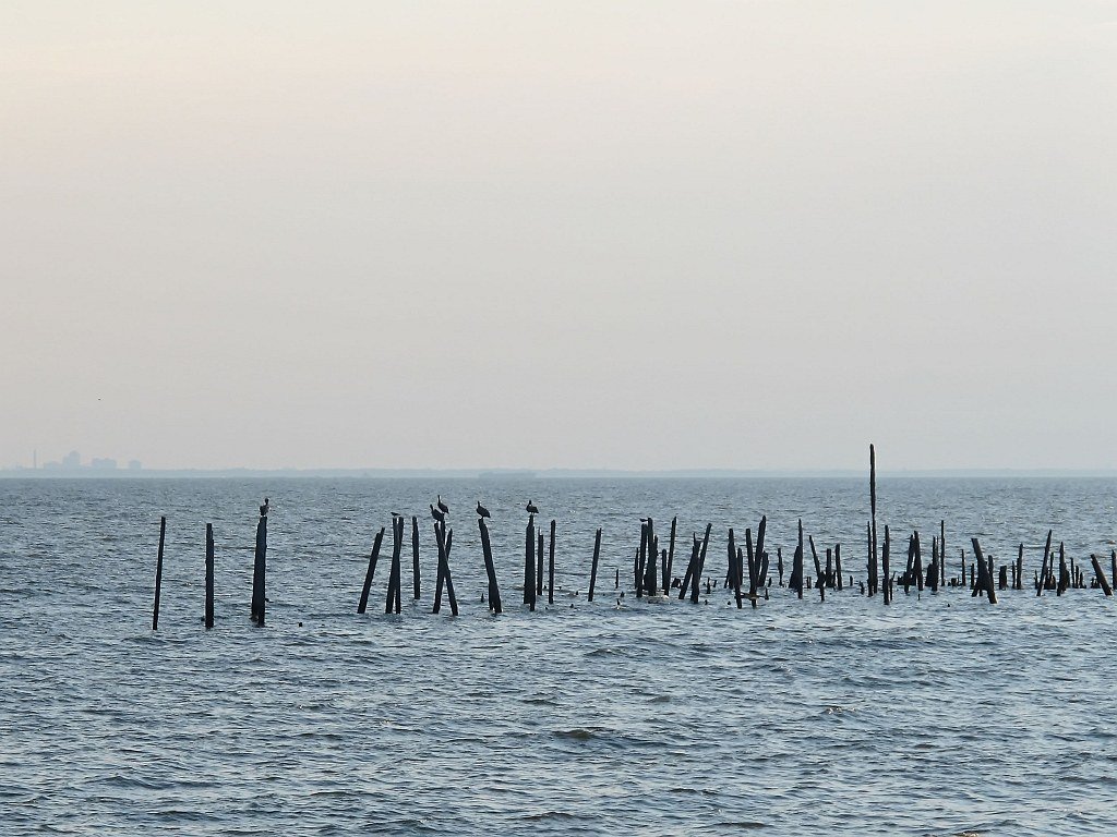
Bon Secour Bay is a coastal saltwater bay located on the eastern edge of Mobile Bay, near Gulf Shores and Fort Morgan, Alabama. It is characterized by calm waters, making it suitable for paddleboarding and kayaking. The bay receives the outflow of the Bon Secour River, creating a transition zone where saltwater and freshwater species mix. Primary public access for paddlers is via the Pine Boat Ramp, also called the Pines Park Public Boat Launch, located on Alabama State Route 180 directly on the bay. This launch has a single concrete ramp and limited parking, primarily for boat trailers, with no lights or restroom facilities. Another potential access point is from the Bon Secour River, using the free public boat launch at the end of River Road near Foley, which allows for a trip downstream into the bay.
As a coastal bay, paddlers must be mindful of tidal currents, wind exposure, and boat traffic. The bay is open to the south, offering little protection from southerly winds which can build a fetch across the water. Motorized boat traffic is present, particularly near the river mouth and channels, so caution is required. The Pine Boat Ramp launches directly into the bay, so there is no significant surf zone at that entry point. Paddling towards the mouth of the Bon Secour River provides scenic variety, passing waterfront homes, marshes, and areas of maritime forest with live oaks and Spanish moss. Wildlife sightings are common and can include dolphins, numerous bird species like great blue herons, and turtles.
The area is part of a broader coastal landscape with nearby islands such as Robinson Island, Bird Island, and Sand Island, which can serve as destinations for a break. No specific paddling restrictions or regulations for the bay itself apply, but standard rules for operating human-powered craft in Alabama apply. Local outfitters like Go Go Kayaks offer rental delivery services in the area, indicating it is a recognized paddling destination. The best seasons for paddling are not specified, but the region averages over 200 clear weather days per year.
Water access, boat ramps & amenities
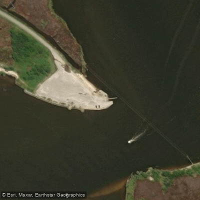
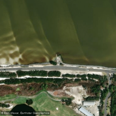
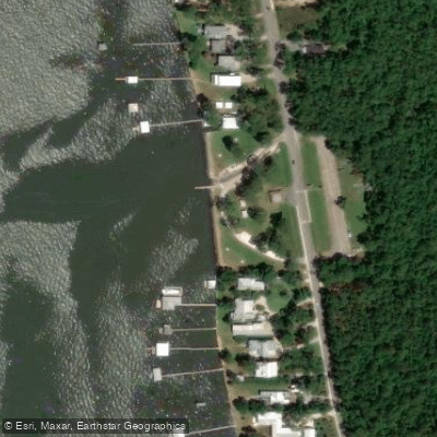
Learn how to get on Bon Secour Bay. Uncover great paddling access points, boat ramps, and all the facilities you need for an unforgettable day on the water. Some locations shown may border or include private property. Always check property boundaries and applicable regulations before visiting. PaddleWays's Public & Private Land layer can help you plan your access with confidence.
Paddle smarter with real-time insights
Whether you're en route and conditions shift or you're looking for the best spot based on current flows, we enable you to make informed decisions on the fly.








Find Places to Paddle

Over 400,000 Places to Paddle
Every user gets free access to launch points, boat ramps, and public property parcels.


Tides, wind & water conditions (10 day forecast)
On open water, wind and tide matter as much as the weather. See the best times to paddle Bon Secour Bay and check the marine forecast before you launch.
Loading tide predictions…
Paddling near Bon Secour Bay
Explore Alabama waters
Top paddling waters
Popular Cities
Loading popular cities...
Explore near Bon Secour Bay
Access points
Nearby waters
More in Alabama

Smarter Paddling Starts in the App.
Paddleways gives you everything you need to plan smarter, paddle better, and own every trip from first launch to takeout.