Perdido Bay
- Saltwater
- Bay
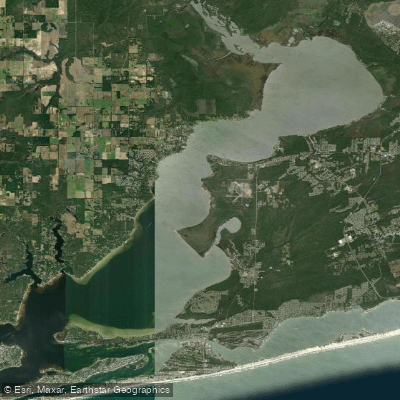
Perdido Bay
- Saltwater
- Bay
- Sq. miles
- 27
- Boat Ramps
- 3
- Access Points
- 0
- Campsites
- 5
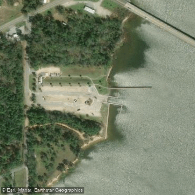
Perdido Bay is a coastal bay spanning the Florida-Alabama border, offering paddlers a mix of open water and sheltered creeks. A major new access point is the Perdido Bay Boat Ramp at 10808 Lillian Highway in Pensacola, Florida. This 40-acre facility features a two-lane boat ramp, a newly dredged channel over 2,200 feet long leading directly to the bay, and a dedicated, ADA-accessible paddlecraft launch for kayaks, canoes, and paddleboards. This launch is a key component of a developing Perdido River/Bay Paddling Trail. Other public access points in the broader area include River Road Kayak Launch on Perdido Key and Big Lagoon State Park, which provides access to the lagoons and bays around Perdido Bay. The bay connects to the Gulf of Mexico, so paddlers should anticipate tidal influence, though smaller adjoining bays and lagoons are noted to have less tidal variation. Wind exposure can be significant on the open bay, but the upper reaches of the Perdido River as it widens into the bay are sheltered from wind. The area is a working waterfront with boat traffic; the new channel from the Perdido Bay Boat Ramp is 40 feet wide and 5 feet deep, indicating vessel use. Notable natural features include Heron Bayou, Ingram Bayou, and Soldier Creek, which offer more protected, forest-lined paddling experiences. The bays and lagoons around Perdido Bay are considered suitable for paddleboards and kayaks, with some creeks presenting a wild, potentially alligator-inhabited appearance. Facilities at the main ramp include extensive paved parking for vehicles with and without trailers. The overall character is a blend of open bay paddling and exploration of quieter, undeveloped bayous and creeks.
Water access, boat ramps & amenities
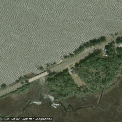
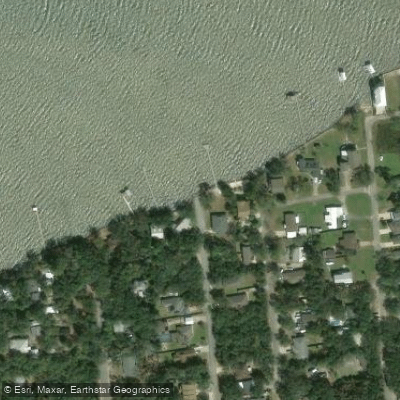
Learn how to get on Perdido Bay. Uncover great paddling access points, boat ramps, and all the facilities you need for an unforgettable day on the water. Some locations shown may border or include private property. Always check property boundaries and applicable regulations before visiting. PaddleWays's Public & Private Land layer can help you plan your access with confidence.
Paddle smarter with real-time insights
Whether you're en route and conditions shift or you're looking for the best spot based on current flows, we enable you to make informed decisions on the fly.








Find Places to Paddle

Over 400,000 Places to Paddle
Every user gets free access to launch points, boat ramps, and public property parcels.


Tides, wind & water conditions (10 day forecast)
On open water, wind and tide matter as much as the weather. See the best times to paddle Perdido Bay and check the marine forecast before you launch.
Loading tide predictions…
Paddling near Perdido Bay
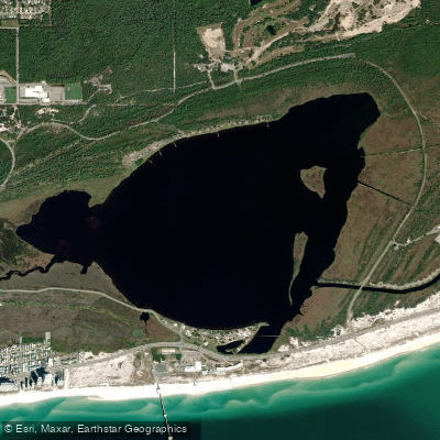
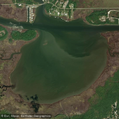
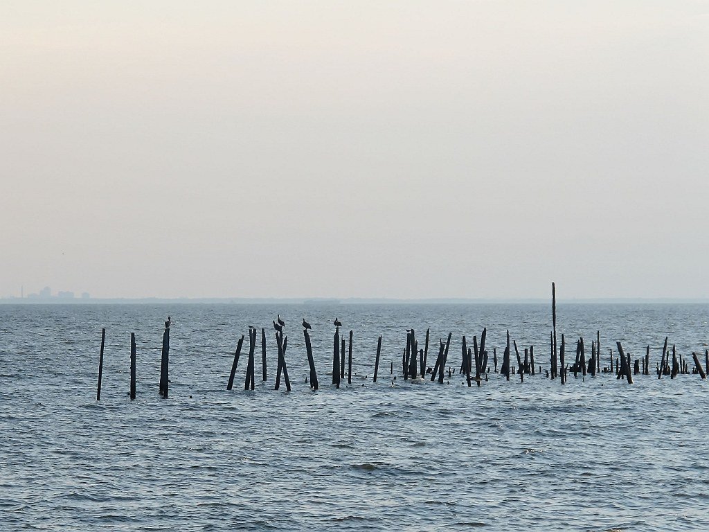
Explore Alabama waters
Top paddling waters
Popular Cities
Loading popular cities...
Explore near Perdido Bay
Access points
- Millview Roadside Access Point
- Coronada Boulevard Small Craft Launch (NO PARKING)
- Lillian Boat Launch - Alabama
- Manual Bayou Bridge
- Peterson Branch Bridge
- Herrion Bayou Bridge
- Bayou Marcus Bridge
- Ganey Branch Bridge
- Bridge Creek Bridge
- Unnamed Stream Bridge
- Bridge Creek Bridge
- Bayou Marcus Creek Bridge
- All 31 spots
Nearby waters
More in Alabama

Smarter Paddling Starts in the App.
Paddleways gives you everything you need to plan smarter, paddle better, and own every trip from first launch to takeout.