Mobile Bay
- Saltwater
- Bay
Mobile Bay
- Saltwater
- Bay
- Sq. miles
- 310
- Boat Ramps
- 8
- Access Points
- 1
- Campsites
- 6
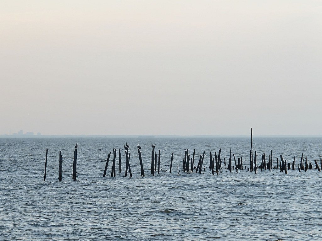
Mobile Bay is a large, shallow coastal bay in Alabama, forming the fourth-largest estuary system in the United States where the Mobile-Tensaw Delta meets the Gulf of Mexico. The bay's character varies significantly from its protected northern and eastern shores to its exposed southern entrance. For paddlers, numerous public access points exist. On the eastern shore, Meaher State Park near Spanish Fort offers a beginner-friendly boat ramp with a fee, providing calm, sheltered waters with typical depths of 4 to 8 feet and manageable tidal fluctuations of 1 to 2 feet. Further east, launches at May Day Park in Daphne and the Fairhope Municipal Pier facilitate trips along the scenic eastern shoreline. On the western shore, The River Shack near Theodore provides a free, sheltered boat ramp ideal for beginners exploring marshy coves. Access is also available from Dog River, with a noted kayak launch at Arlington Park that is only usable at high tide. The southern end of the bay is dominated by Dauphin Island, where paddlers can launch from a boat ramp on the northeast tip or from the south side near a golf course. Conditions here are far more exposed, with the potential for significant wind, waves, and boat traffic, especially around the jetties and Fort Gaines at the island's eastern point.
Paddling safety is heavily dependent on weather, tide, and location. The bay is known for its shallow nature, but winds can quickly build fetch, creating whitecaps and sloppy conditions, particularly in open areas and channels like the one separating Dauphin and Sand Islands. Tidal currents are a factor, and paddlers are advised to check tides and water levels before departure. In exposed southern areas, swells can reach 4 to 5 feet and become confused, and wake from large vessels like pilot boats presents an additional hazard. The main shipping channel for the Port of Mobile sees substantial commercial traffic, requiring caution when crossing. The best paddling conditions are typically found during incoming tides and in the morning before afternoon winds pick up. The most favorable seasons are from March through November. Wildlife sightings are common, including dolphins, stingrays, and a wide variety of seabirds like pelicans, cormorants, and gulls, especially around the Dauphin Island jetties and in the marshy areas. The aesthetic ranges from developed waterfronts and the historic USS Alabama to remote, low-lying sand islands and vast wetlands.
Water access, boat ramps & amenities
Learn how to get on Mobile Bay. Uncover great paddling access points, boat ramps, and all the facilities you need for an unforgettable day on the water. Some locations shown may border or include private property. Always check property boundaries and applicable regulations before visiting. PaddleWays's Public & Private Land layer can help you plan your access with confidence.
Paddle smarter with real-time insights
Whether you're en route and conditions shift or you're looking for the best spot based on current flows, we enable you to make informed decisions on the fly.








Find Places to Paddle

Over 400,000 Places to Paddle
Every user gets free access to launch points, boat ramps, and public property parcels.


Tides, wind & water conditions (10 day forecast)
On open water, wind and tide matter as much as the weather. See the best times to paddle Mobile Bay and check the marine forecast before you launch.
Loading tide predictions…
Paddling near Mobile Bay

Pascagoula River
Perdido River
Tombigbee River
Escambia River
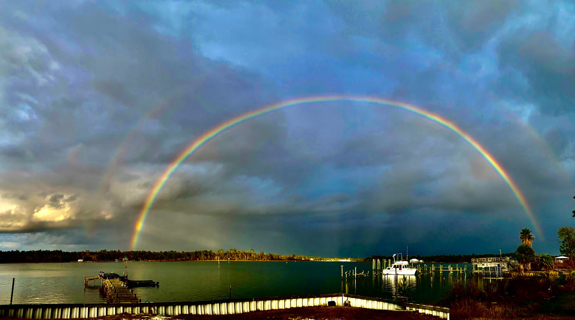
Bon Secour Bay
Alabama River
Little Lagoon
Mississippi Sound
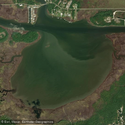
Oyster Bay
Explore Alabama waters
Top paddling waters
Popular Cities
Loading popular cities...
Explore near Mobile Bay
Access points
Nearby waters
More in Alabama

Smarter Paddling Starts in the App.
Paddleways gives you everything you need to plan smarter, paddle better, and own every trip from first launch to takeout.