Curated by PaddleWays
RouteFlatwater
- Distance
- 3.8 mi
- Paddle time
- ~1.5 hrs
- Put-in → take-out
- Route 4 Bridge Access → Blackwater River State Forest - Coldwater Creek Recreation Area Canoe Access
Narrow spots with cypress knees and logs
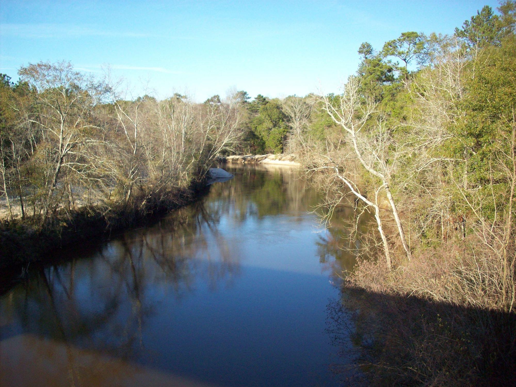
East Fork Big Coldwater Creek flows through the pristine Blackwater River State Forest in Santa Rosa County, Florida's panhandle, originating from spring-fed sources near the Alabama border. This remarkably clear waterway maintains a consistent cool temperature year-round due to its spring-fed nature, creating one of Florida's swiftest flowing creeks as it carves through undeveloped wilderness toward its confluence with West Fork Big Coldwater Creek.
The creek forms the upper portion of the 19-mile Coldwater Creek Designated Paddling Trail, with the East Fork comprising approximately 13-14 miles before joining the smaller West Fork. At this junction, the combined waters become known as Big Coldwater Creek on historical maps, eventually flowing into the Blackwater River system. The drainage area encompasses 28.6 square miles of largely undeveloped forest land.
Paddling opportunities range from easy to moderate difficulty, making the creek accessible to beginners while still engaging experienced paddlers. The waterway features a steep gradient with swift current, narrow passages, and occasional obstructions including cypress knees, fallen logs, and extensive gravel bars. Multiple access points allow for trips of varying lengths, from short 4-mile excursions to the full 19-mile designated trail experience.
Spring through fall offers optimal paddling conditions, though the consistent spring-fed flow maintains navigability throughout most of the year. Summer brings increased recreational traffic, particularly tubers and rental customers, making weekday trips preferable for solitude. Water levels can affect navigability during dry periods, requiring occasional portaging over sandbars.
The creek corridor supports diverse wildlife including white-tailed deer, river otters, various turtle species, occasional alligators, great blue herons, pileated woodpeckers, and numerous songbird species. The surrounding forest consists primarily of longleaf pine, hardwood hammocks, and wetland vegetation typical of the Atlantic Coastal Plain.
Notable features include the historic Fleming Bridge (Old Steel Bridge) ruins, extensive white sand beaches reminiscent of Gulf Coast shores, and mini-rapids that add technical interest. Adventures Unlimited operates zip lines and ropes courses visible from the water, while maintaining the wild character of the riparian corridor.
Primary access points include the remote SR 4 Bridge, Coldwater Recreation Area (Gordon Landing), Adventures Unlimited facilities, Old Steel Bridge, and SR 191 Bridge near Allentown. The nearest significant town is Milton, approximately 12 miles south.
Safety considerations include the creek's swift current, shallow depths requiring vigilance for obstacles, and limited development along most sections. The upper reaches are particularly remote, making self-rescue skills essential.
Multiple commercial outfitters provide rentals and shuttle services, with overnight camping possible on suitable sandbars during appropriate water levels.
Curated routes
Hand-picked by the PaddleWays team, with put-ins, take-outs, paddle times and the hazards along the way.
RouteFlatwater
Hazards
No hazards are marked on East Fork Big Coldwater Creek yet. That is not the same as none being there: if you find one, report it for the next paddler.
From the community
Real trips from PaddleWays paddlers: which route they ran, how the flows were, and what to watch for.
Loading trip reports
Mike M.
Wet windy, tropical Storm Bertha was going buy.
See exactly where the public can get on and off the river. Launch points and boat ramps are paired with PaddleWays' public land data so you know where you can legally land.
Public shoreline
65%of the river's shoreline is public
Boat Ramp
Boat Ramp
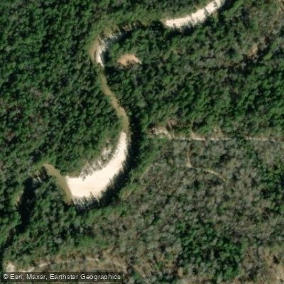
Boat Ramp
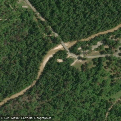
Boat Ramp
Flows, weather and a route-by-route verdict, so you know which stretch of the East Fork Big Coldwater Creek is worth paddling today.
No forecast data available.
Live flows, marked hazards and fresh trip reports from paddlers who were just on the water, all in one place.





Every user gets free access to launch points, boat ramps, and public property parcels.
Loading popular cities...
PaddleWays gives you everything you need to plan smarter, paddle better, and own every trip from first launch to takeout.





