Rogers Lake
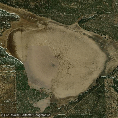
Rogers Lake
- Boat Ramps
- 0
- Access Points
- 0
- Campsites
- 0
Rogers Lake is a Coconino County natural area located approximately 10 miles south of Flagstaff, Arizona, accessible via Woody Mountain Road and Forest System Road #231. This high-elevation water body sits within the Coconino National Forest, surrounded by the iconic Ponderosa pine forests characteristic of the Mogollon Rim region. The lake operates as a shallow, intermittent body of water at roughly 7,000 feet elevation. Water levels fluctuate significantly with seasonal conditions—the lake typically fills during spring snowmelt and monsoon periods but can reduce to remnant marshland during dry seasons. This variability means paddlers should verify current conditions before planning a visit, as the lake may not always support watercraft.
Access to Rogers Lake requires navigating unmaintained forest roads that can become impassable during winter months or wet conditions. High-clearance vehicles are recommended. The area is relatively undeveloped, offering a primitive paddling experience for those seeking solitude in a natural setting. The surrounding terrain consists of volcanic rock formations and dense pine forest, creating a distinctly northern Arizona landscape.
Wildlife viewing opportunities include pronghorn antelope in the surrounding meadows, along with elk, mule deer, and various bird species. Bald eagles may be spotted during fall and winter months. The lake's shallow nature and periodic drying cycle limit fish populations, though temporary aquatic life may appear during high-water periods.
Paddlers should be prepared for limited facilities—this is a backcountry experience with no developed boat ramps, restrooms, or services. The area has historical significance tied to local folklore about hidden gold, which occasionally draws treasure hunters to the vicinity.
Weather conditions can change rapidly at this elevation, and summer afternoon thunderstorms are common during monsoon season. Winter access is typically restricted due to snow closure of forest roads from November through April. The lake provides a unique opportunity for those seeking a quiet, undeveloped paddling environment within Arizona's high country forest ecosystem.
Water access, boat ramps & amenities
Learn how to get on Rogers Lake. Uncover great paddling access points, boat ramps, and all the facilities you need for an unforgettable day on the water. Some locations shown may border or include private property. Always check property boundaries and applicable regulations before visiting. PaddleWays's Public & Private Land layer can help you plan your access with confidence.
Paddle smarter with real-time insights
Whether you're en route and conditions shift or you're looking for the best spot based on current flows, we enable you to make informed decisions on the fly.








Find Places to Paddle

Over 400,000 Places to Paddle
Every user gets free access to launch points, boat ramps, and public property parcels.


Water and weather conditions (10 day forecast)
See the best times to paddle Rogers Lake and check the forecast before you go.
No forecast data available.
Paddling near Rogers Lake
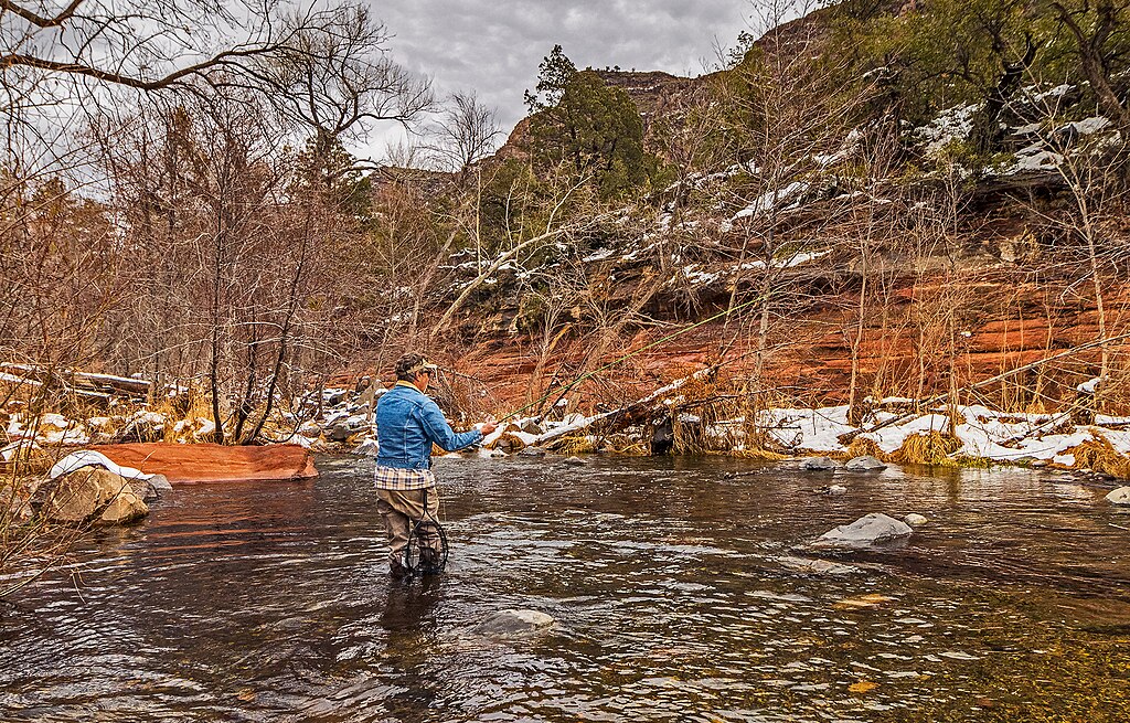
Oak Creek
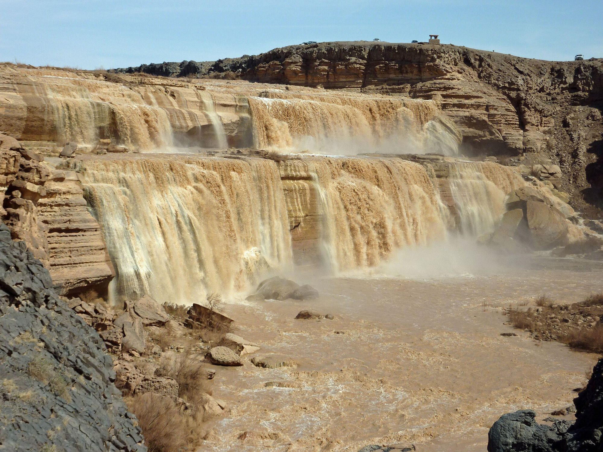
Little Colorado River
Verde River
Upper Lake Mary
Marshall Lake
Walnut Creek
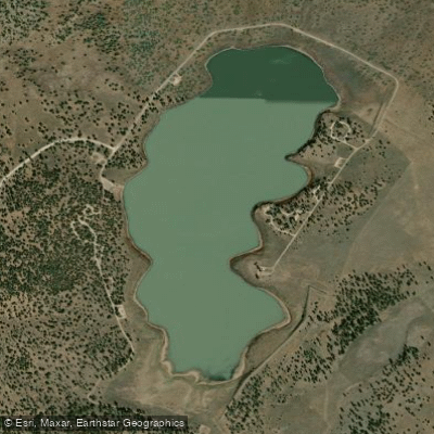
Ashurst Lake
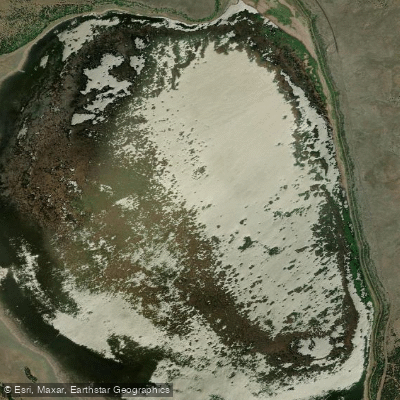
Mormon Lake
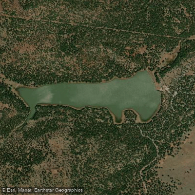
Dogtown Reservoir
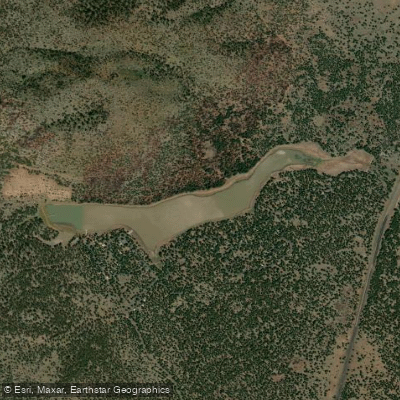
Kaibab Lake
Explore Arizona waters
Top paddling waters
Popular Cities
Loading popular cities...
Explore near Rogers Lake

Smarter Paddling Starts in the App.
Paddleways gives you everything you need to plan smarter, paddle better, and own every trip from first launch to takeout.