Wet Beaver Creek
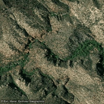
Wet Beaver Creek
- Boat Ramps
- 0
- Access Points
- 1
- Campsites
- 2
Wet Beaver Creek, a hidden gem in central Arizona, offers a serene and picturesque paddling experience for those seeking a less crowded alternative to the popular Oak Creek. Located within the Coconino National Forest, this perennial stream carves its way through stunning red rock canyons, creating a lush oasis in the arid landscape.
The creek provides two main paddling sections, each approximately 9 miles long. The first section runs from the Beaver Ranger Station to Beaver Creek, while the second continues from Wet Beaver Creek to its confluence with the Verde River near Camp Verde. Both sections offer paddlers a full day of scenic exploration through the heart of Arizona's backcountry.
While the specific difficulty of Wet Beaver Creek's rapids is not well-documented, the nearby Verde River features Class II-IV rapids, suggesting that Wet Beaver Creek may have some mild to moderate whitewater features. However, paddlers of all skill levels can likely find suitable stretches, with the creek's generally calm waters making it an excellent option for beginners and families.
The best time to paddle Wet Beaver Creek is typically from late spring to early fall when water levels are most favorable and temperatures are warm. However, as with all desert waterways, it's crucial to check current conditions and water levels before embarking on any trip.
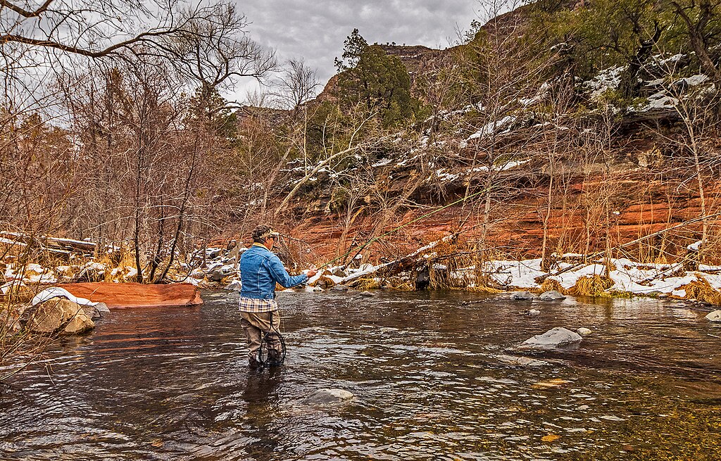
The creek's ecosystem is rich and diverse, supporting a variety of flora and fauna. Paddlers should be cautious of poison ivy along the banks but can also expect to see lush vegetation and potentially spot wildlife native to the area. The red rock canyon scenery provides a stunning backdrop throughout the journey, rivaling the beauty of more famous Arizona landmarks.
Notable points of interest along Wet Beaver Creek include the Wet Beaver Wilderness, a 6,155-acre protected area, and proximity to historical sites such as Montezuma Well and Montezuma Castle. These ancient cliff dwellings offer a glimpse into the area's rich cultural heritage and make for excellent side trips.
Access to Wet Beaver Creek is relatively convenient, with Forest Road 618 located about 2 miles east of the Interstate 17 and AZ Highway 179 junction. The nearby towns of Camp Verde and Rimrock serve as good base camps for paddling adventures, offering amenities and accommodations.
Safety considerations for paddling Wet Beaver Creek include being prepared for remote stretches with limited cell phone coverage, carrying plenty of water, and being aware of rapidly changing weather conditions typical of desert environments. Additionally, paddlers should always wear appropriate safety gear and be mindful of potential hazards such as strainers or low-hanging branches.
While multi-day trips on Wet Beaver Creek itself are limited due to its length, ambitious paddlers could potentially combine it with sections of the Verde River for a longer adventure. However, most visitors opt for day trips, taking time to enjoy the swimming holes, picnic areas, and hiking opportunities along the way.
Wet Beaver Creek offers a unique blend of natural beauty, tranquility, and adventure, making it a must-visit destination for paddlers looking to explore the lesser-known waterways of Arizona. Its accessibility combined with its relative seclusion provides an ideal balance for those seeking both convenience and wilderness experience in the heart of the Southwest.
Water access, boat ramps & amenities
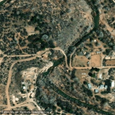
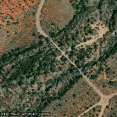
Learn how to get on Wet Beaver Creek. Uncover great paddling access points, boat ramps, and all the facilities you need for an unforgettable day on the water. Some locations shown may border or include private property. Always check property boundaries and applicable regulations before visiting. PaddleWays's Public & Private Land layer can help you plan your access with confidence.
Paddle smarter with real-time insights
Whether you're en route and conditions shift or you're looking for the best spot based on current flows, we enable you to make informed decisions on the fly.








Find Places to Paddle

Over 400,000 Places to Paddle
Every user gets free access to launch points, boat ramps, and public property parcels.


Water and weather conditions (10 day forecast)
See the best times to paddle Wet Beaver Creek and check the forecast before you go.
WET BEAVER CREEK NEAR RIMROCK, AZ
Paddling near Wet Beaver Creek
Oak Creek
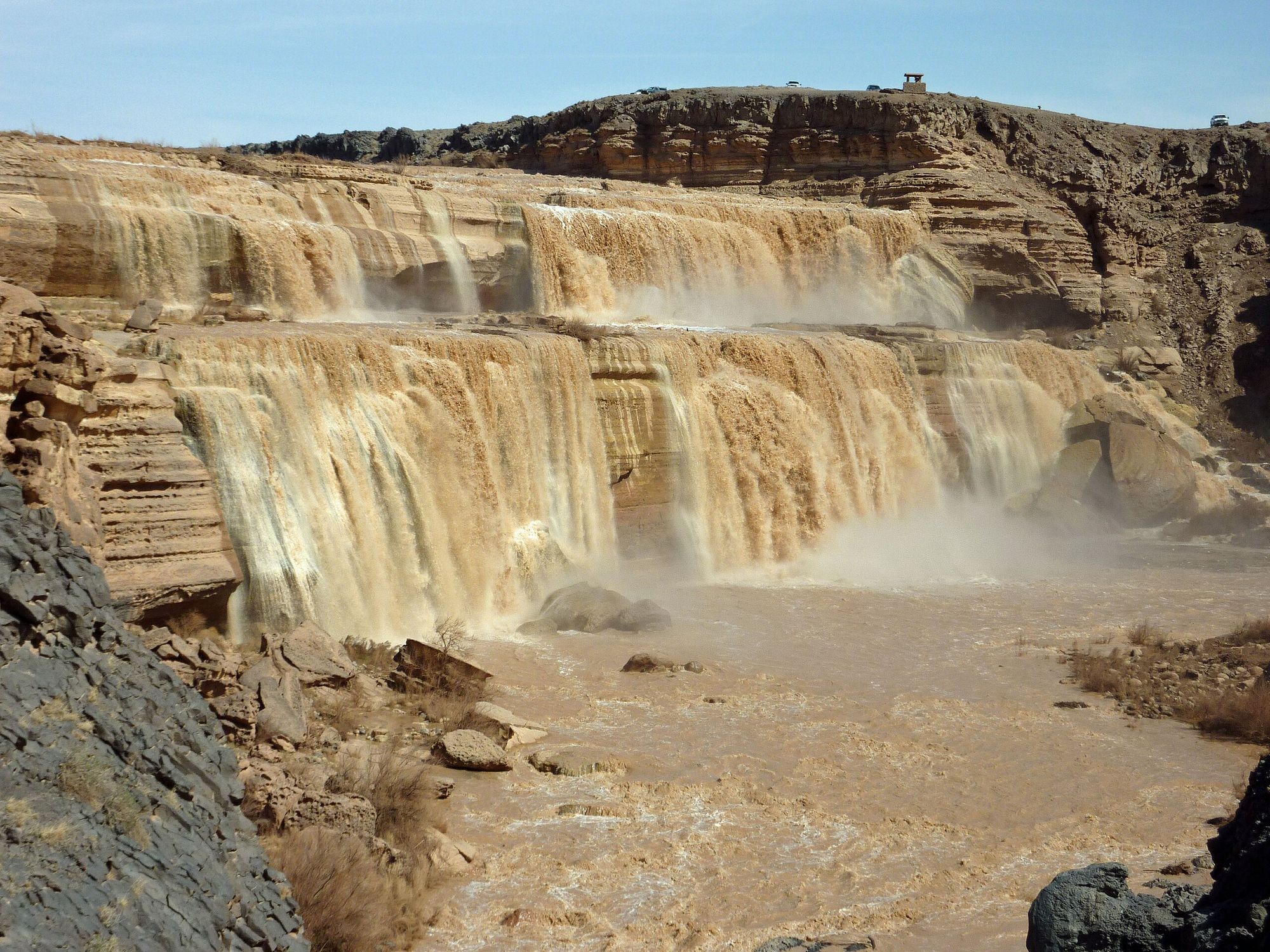
Little Colorado River
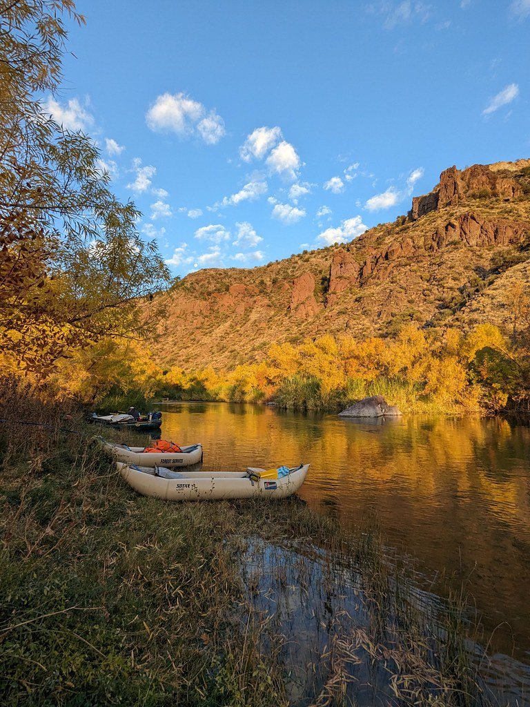
Verde River
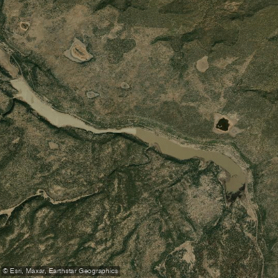
Upper Lake Mary
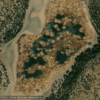
Marshall Lake
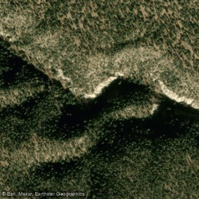
Walnut Creek
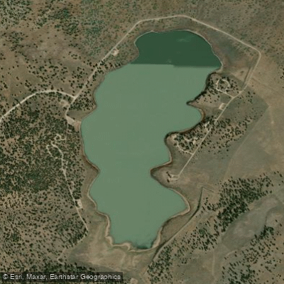
Ashurst Lake
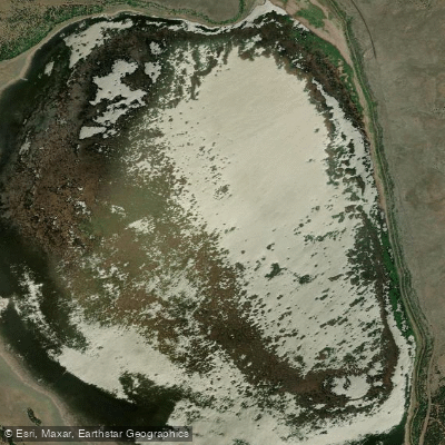
Mormon Lake
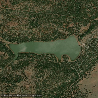
Dogtown Reservoir
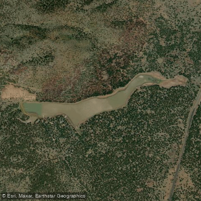
Kaibab Lake
Explore Arizona waters
Top paddling waters
Popular Cities
Loading popular cities...
Explore near Wet Beaver Creek
Access points
Nearby waters
More in Arizona

Smarter Paddling Starts in the App.
Paddleways gives you everything you need to plan smarter, paddle better, and own every trip from first launch to takeout.