Lake Wallace
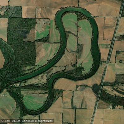
Lake Wallace
- Boat Ramps
- 3
- Access Points
- 3
- Campsites
- 5
Lake Wallace spans 362 acres in Drew County, Arkansas, characterized by cypress trees and stumps throughout its waters. The lake features extensive aquatic vegetation, including problematic water hyacinth that the Arkansas Game and Fish Commission actively manages to maintain access. As of 2019, water hyacinth covered approximately 5-18% of the lake's surface, though coverage varies seasonally.
The lake originated as an oxbow of Bayou Bartholomew, the world's longest and most meandering bayou at 320 miles. Access is available via Lake Wallace Road in Dermott, with the main entrance at 191 Lake Wallace Road. A boat launch provides access for small watercraft, though extensive cypress trees and stumps limit navigation in many areas.
Wildlife viewing opportunities are abundant, with over 100 fish species present. Paddlers should exercise extreme caution as alligators actively inhabit the lake during spring, summer and fall months. Swimming and wading are prohibited due to the alligator presence. The shoreline features moss-draped cypress trees creating a distinctive Delta landscape.
The lake tends to be most accessible during winter months when aquatic vegetation is naturally reduced. Morning hours typically offer the calmest conditions for paddling. Extensive cypress trees provide some wind protection but can create navigational challenges.
Facilities are limited but include parking areas. Flamingo Pointe RV Park offers lakefront camping with 200 feet of shoreline access for registered guests. The lake's position in Arkansas's Delta agricultural region means paddlers will observe active farming operations across adjacent fields from April through October.
For safety, paddlers should stay clear of dense vegetation mats, remain aware of submerged obstacles, and maintain distance from alligator habitat. The lake's relatively small size makes it suitable for half-day excursions, though careful route planning is essential to navigate around cypress stands and aquatic plants.
Water access, boat ramps & amenities
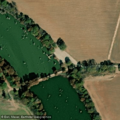
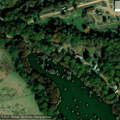
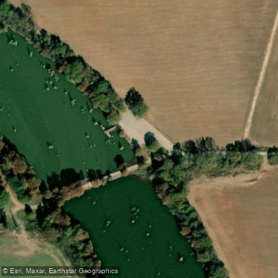
Learn how to get on Lake Wallace. Uncover great paddling access points, boat ramps, and all the facilities you need for an unforgettable day on the water. Some locations shown may border or include private property. Always check property boundaries and applicable regulations before visiting. PaddleWays's Public & Private Land layer can help you plan your access with confidence.
Paddle smarter with real-time insights
Whether you're en route and conditions shift or you're looking for the best spot based on current flows, we enable you to make informed decisions on the fly.








Find Places to Paddle

Over 400,000 Places to Paddle
Every user gets free access to launch points, boat ramps, and public property parcels.


Water and weather conditions (10 day forecast)
See the best times to paddle Lake Wallace and check the forecast before you go.
No forecast data available.
Paddling near Lake Wallace

Mississippi River
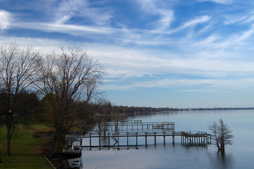
Lake Chicot

Arkansas River
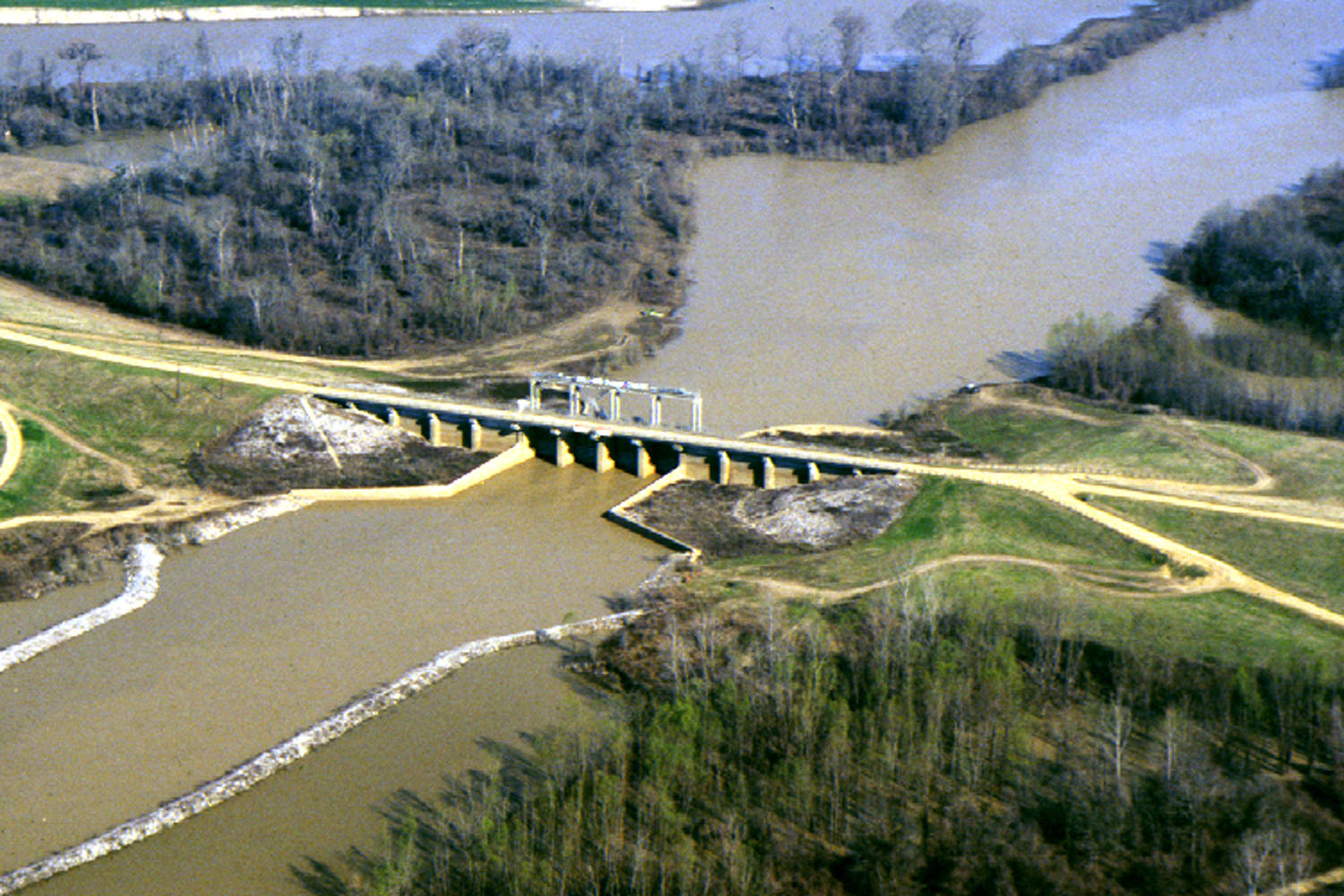
Yazoo River
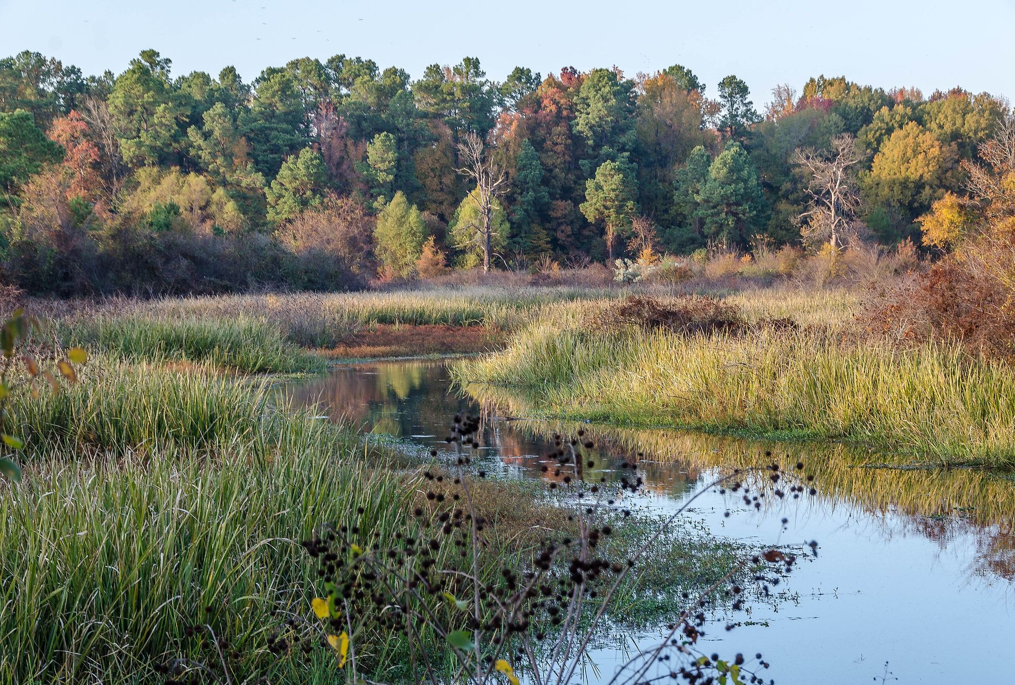
Bayou Bartholomew

White River
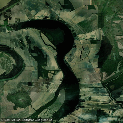
Lake Washington
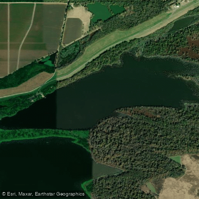
Kate Adams Lake
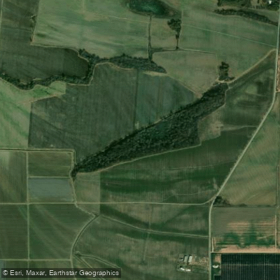
Big Sunflower River
Explore Arkansas waters
Top paddling waters
Popular Cities
Loading popular cities...
Explore near Lake Wallace
Access points
Nearby waters
More in Arkansas

Smarter Paddling Starts in the App.
Paddleways gives you everything you need to plan smarter, paddle better, and own every trip from first launch to takeout.