Lake Washington
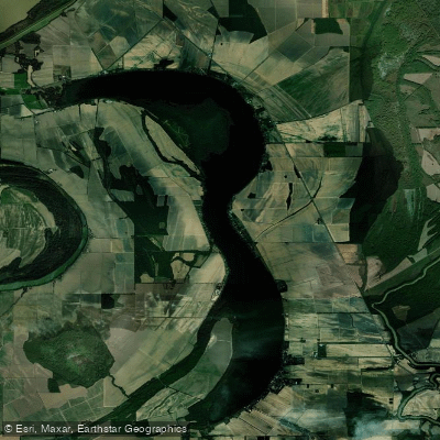
Lake Washington
- Boat Ramps
- 7
- Access Points
- 7
- Campsites
- 0
Lake Washington is an oxbow lake in Mississippi's Delta region, formed when the Mississippi River changed course around 1300 AD. Shaped like a double crescent, it stretches long and narrow from north to south, covering 2,965 acres with 23 miles of shoreline. The lake's average depth is 6 feet, with a maximum depth of 20 feet.
Several flooded cypress swamps attract paddlers to view wildlife, including alligators. Unique Delta features such as John Henry Slough and a wetland locally called "the swamp" grace the western shoreline, providing habitat for waterfowl, birds, reptiles, and amphibians.
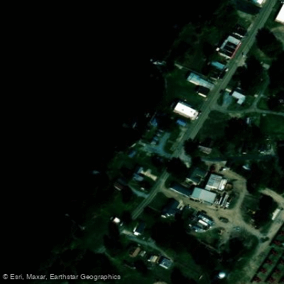
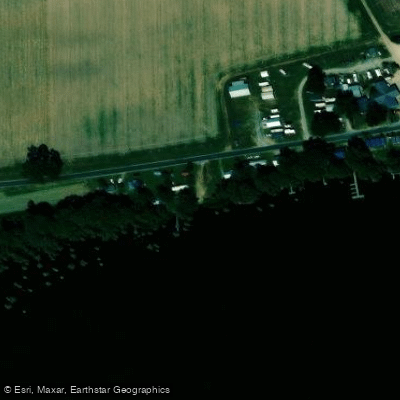
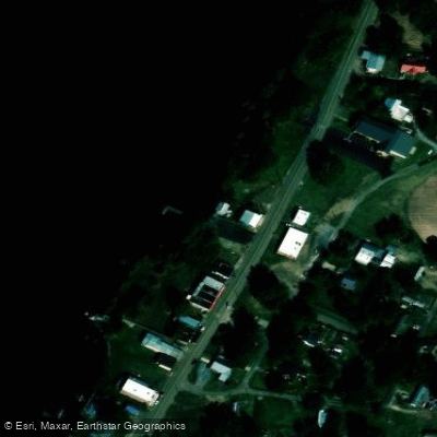
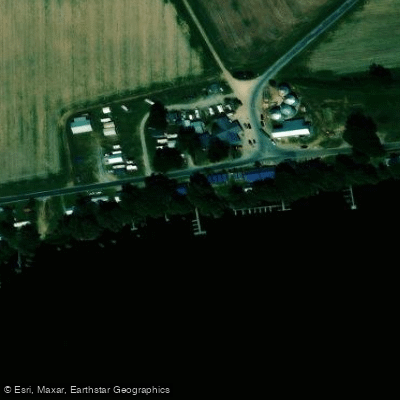
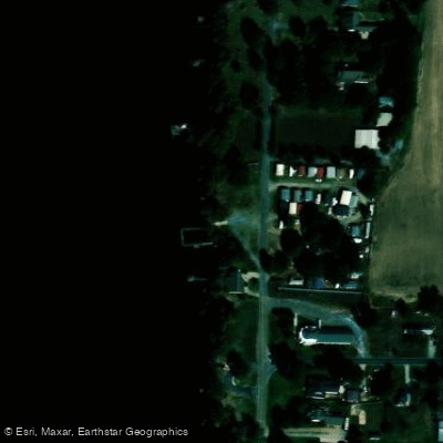
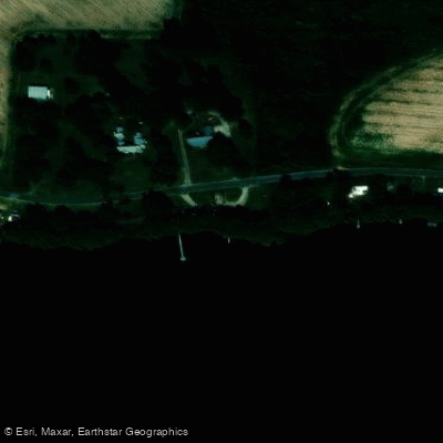
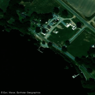
A public dock operated by Washington County is located in Glen Allan along the southeast shore. Another county-operated ramp is found on Washington Bayou in Paul Love Jr. Park, south along the lake's outlet stream. Additional private, fee-based boat launch facilities are available around the lake.
Paddlers should be aware that about 300 homes are located along the shoreline, though most of the shoreline remains heavily vegetated. Many homes sit back from the water due to the marshy lakeshore. The lake is also popular for fishing, water-skiing, swimming, and pontooning, so paddlers should exercise caution around other watercraft.
Lake Washington's water quality has been degrading due to sedimentation from local run-off. This is part of the natural life cycle of oxbow lakes, which gradually fill with sediment over hundreds of years. Efforts are underway to find methods of preventing further sediment accumulation.
The nearby Yazoo National Wildlife Refuge offers additional paddling opportunities and wildlife viewing. Paddlers may encounter a variety of wildlife including raccoons, nutria, beavers, white-tailed deer, and numerous bird species. Caution is advised, as venomous snakes such as timber rattlesnakes and eastern cottonmouths are present in the area.
Water access, boat ramps & amenities
Learn how to get on Lake Washington. Uncover great paddling access points, boat ramps, and all the facilities you need for an unforgettable day on the water. Some locations shown may border or include private property. Always check property boundaries and applicable regulations before visiting. PaddleWays's Public & Private Land layer can help you plan your access with confidence.
Paddle smarter with real-time insights
Whether you're en route and conditions shift or you're looking for the best spot based on current flows, we enable you to make informed decisions on the fly.








Find Places to Paddle

Over 400,000 Places to Paddle
Every user gets free access to launch points, boat ramps, and public property parcels.


Water and weather conditions (10 day forecast)
See the best times to paddle Lake Washington and check the forecast before you go.
LK WASHINGTON TRIB NO 2 NR MARATHON, MS
Paddling near Lake Washington

Mississippi River
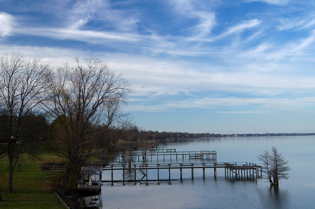
Lake Chicot

Arkansas River
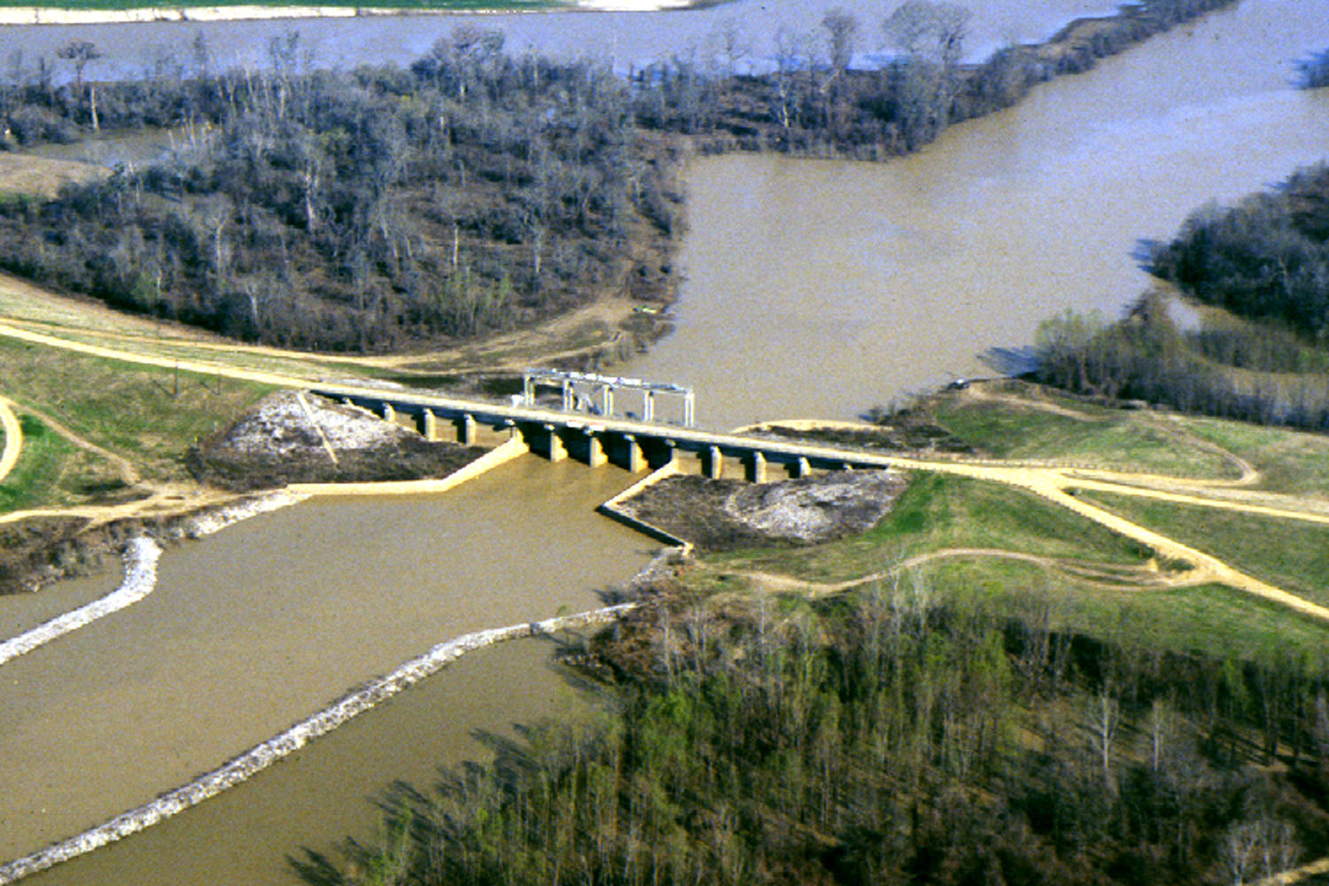
Yazoo River
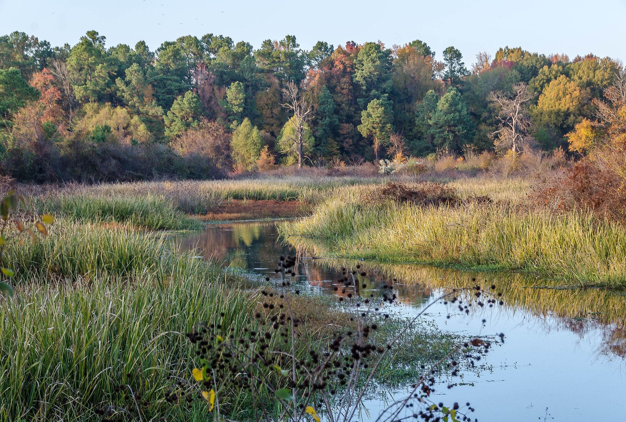
Bayou Bartholomew

White River
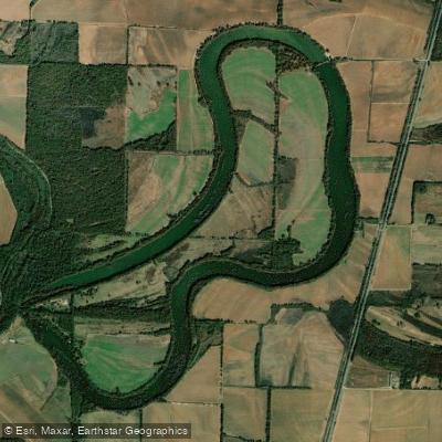
Lake Wallace
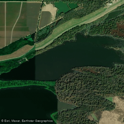
Kate Adams Lake
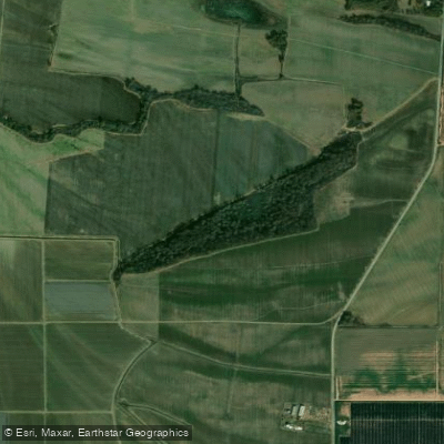
Big Sunflower River
Explore Mississippi waters
Top paddling waters
Popular Cities
Loading popular cities...
Explore near Lake Washington
Access points
Nearby waters
More in Mississippi

Smarter Paddling Starts in the App.
Paddleways gives you everything you need to plan smarter, paddle better, and own every trip from first launch to takeout.