Kate Adams Lake
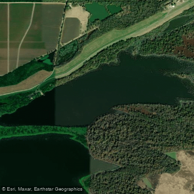
Kate Adams Lake
- Boat Ramps
- 1
- Access Points
- 1
- Campsites
- 3
Kate Adams Lake is a 150-acre oxbow lake located just south of Arkansas City in Desha County. The lake, formed when the Mississippi River changed course in 1927, remains connected to the river and lies on the river side of the main levee.
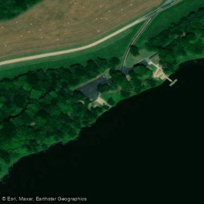
A boat launching area with picnic facilities is available on the shore beside the levee. The Game and Fish Commission has secured additional public access through a land swap that created space for camping facilities. Some historical brick remnants from the area's steamboat era can be found near the boat launch.
The lake's connection to the Mississippi River significantly influences its character and conditions. Water levels and fishing productivity fluctuate based on this connection, which naturally restocks the lake's fish population annually. Due to this direct river connection, the Arkansas Game and Fish Commission maintains minimal active management of the lake.
The site holds considerable historical significance, named after the Kate Adams steamboat that once served as a vital mail carrier and transport vessel between Memphis and Arkansas City in the 1880s. Arkansas City was formerly a major river port until the devastating 1927 flood caused the Mississippi to shift its course approximately two miles east, creating what is now Kate Adams Lake.
The lake's position relative to the Mississippi River levee system and its status as an oxbow create a distinctive paddling environment. Paddlers should be aware that the lake's conditions can vary significantly due to its connection with the Mississippi River.
While general recreational access is permitted, anyone planning to paddle Kate Adams Lake should check current conditions and access points with local authorities, as water levels can fluctuate considerably with Mississippi River conditions.
Water access, boat ramps & amenities
Learn how to get on Kate Adams Lake. Uncover great paddling access points, boat ramps, and all the facilities you need for an unforgettable day on the water. Some locations shown may border or include private property. Always check property boundaries and applicable regulations before visiting. PaddleWays's Public & Private Land layer can help you plan your access with confidence.
Paddle smarter with real-time insights
Whether you're en route and conditions shift or you're looking for the best spot based on current flows, we enable you to make informed decisions on the fly.








Find Places to Paddle

Over 400,000 Places to Paddle
Every user gets free access to launch points, boat ramps, and public property parcels.


Water and weather conditions (10 day forecast)
See the best times to paddle Kate Adams Lake and check the forecast before you go.
No forecast data available.
Paddling near Kate Adams Lake

Mississippi River
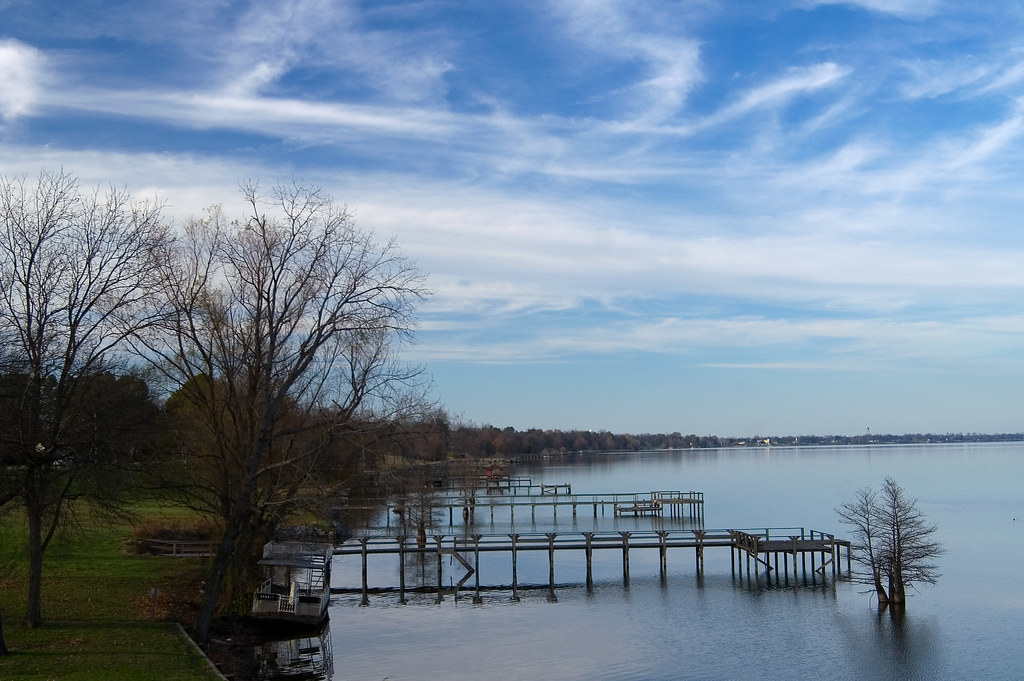
Lake Chicot

Arkansas River
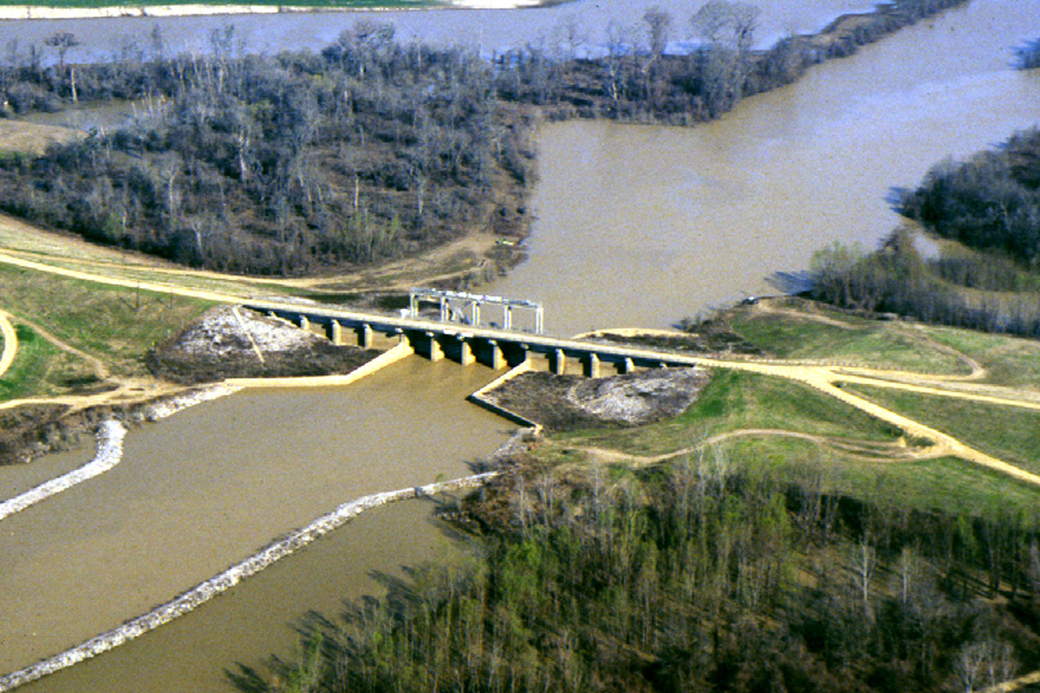
Yazoo River
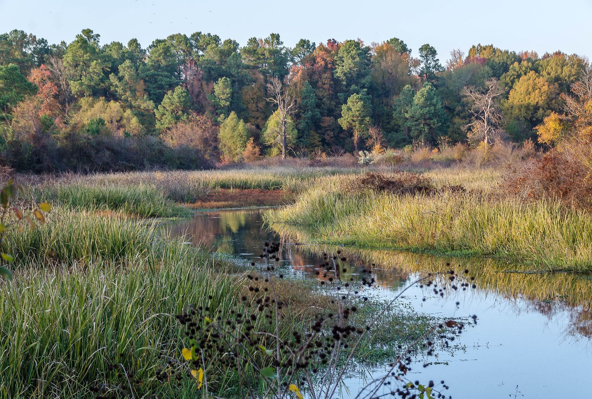
Bayou Bartholomew

White River
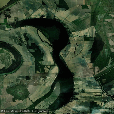
Lake Washington
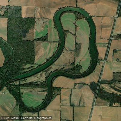
Lake Wallace
Big Sunflower River
Explore Arkansas waters
Top paddling waters
Popular Cities
Loading popular cities...
Explore near Kate Adams Lake
Access points
Nearby waters
More in Arkansas

Smarter Paddling Starts in the App.
Paddleways gives you everything you need to plan smarter, paddle better, and own every trip from first launch to takeout.