Curated by PaddleWays
RouteClass I
- Distance
- 12.7 mi
- Paddle time
- 6.3–12.8 hrs
- Put-in → take-out
- Highway 17 Access Access → Bank of Brinkley Boating Access
High water can be dangerous
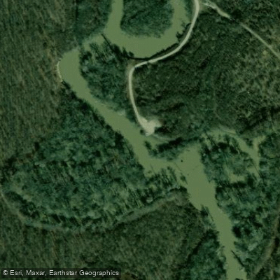
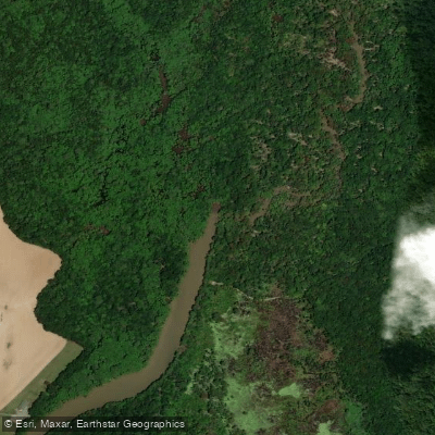
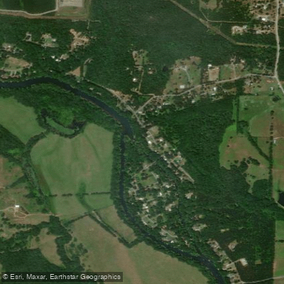
Bayou De View is a scenic waterway flowing through the eastern Arkansas lowlands. This slow-moving bayou meanders north to south through cypress-tupelo swamps, eventually joining the Cache River system. While its exact headwaters are difficult to pinpoint in the swampy terrain, the main paddling sections run through Monroe and Woodruff counties. The Bayou De View Water Trail offers paddlers 15.2 miles of marked flatwater routes through the Sheffield Nelson Dagmar Wildlife Management Area. This Class I waterway is suitable for beginners, though navigation skills are needed to follow the sometimes indistinct channel. Expect to travel only 1-2 miles per hour through the tranquil swamp ecosystem.
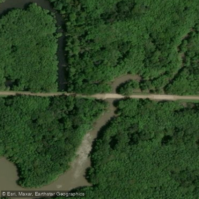
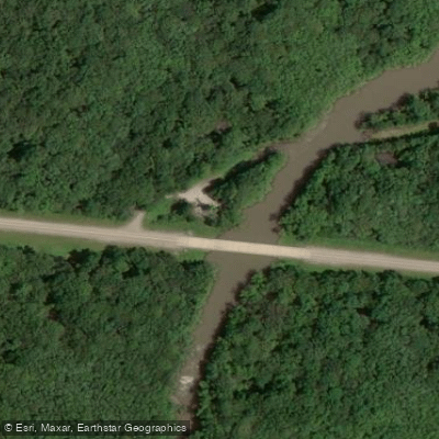
The trail can be paddled in sections or as a full-day journey. Popular access points include: - Benson Creek Access (northern put-in) - Eden Road near Dagmar WMA headquarters - Hickson Lake boat ramp - Rock Island Road Access - Bank of Brinkley Access (southern take-out)
Spring and fall offer ideal paddling conditions, with higher water levels and comfortable temperatures. Summer can be hot and buggy, while winter paddling requires cold-water gear. Water levels fluctuate seasonally - a gauge height of 14 feet or higher is recommended for paddling.
The swamp environment hosts diverse wildlife including wood ducks, prothonotary warblers, and river otters. Ancient cypress and tupelo trees create a cathedral-like canopy. Paddlers may spot white-tailed deer, wild turkey, and even the elusive ivory-billed woodpecker, which was sighted here in 2004.
Safety is crucial - always keep trail markers in sight and be prepared for remote conditions. Primitive camping is allowed on WMA lands. Multi-day trips can combine Bayou De View with the nearby Robe Bayou and Cache River water trails.
This unique ecosystem offers an immersive paddling experience through one of Arkansas's most pristine wetland habitats. The Bayou De View Water Trail provides an accessible way to explore this ecologically significant and hauntingly beautiful swamp landscape.
Curated routes
Hand-picked by the PaddleWays team, with put-ins, take-outs, paddle times and the hazards along the way.
RouteClass I
Hazards
No hazards are marked on Bayou De View yet. That is not the same as none being there: if you find one, report it for the next paddler.
From the community
Nobody has shared a trip on Bayou De View yet. Paddle it, then tell the next paddler how it went.
See exactly where the public can get on and off the river. Launch points and boat ramps are paired with PaddleWays' public land data so you know where you can legally land.
Public shoreline
0%of the river's shoreline is public
Most of the riverbank is private. Launch, land and camp only at public access points.
Flows, weather and a route-by-route verdict, so you know which stretch of the Bayou De View is worth paddling today.
All Flow Stations
Live flows, marked hazards and fresh trip reports from paddlers who were just on the water, all in one place.





Every user gets free access to launch points, boat ramps, and public property parcels.

Loading popular cities...
PaddleWays gives you everything you need to plan smarter, paddle better, and own every trip from first launch to takeout.