Crooked Creek
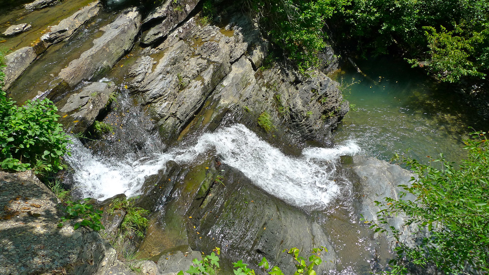
Crooked Creek
- Boat Ramps
- 7
- Access Points
- 10
- Campsites
- 2
Crooked Creek rises near Dogpatch in Newton County, Arkansas, flowing northward before turning east through Boone County and continuing across Marion County for approximately 80 miles until it joins the White River just below Cotter. This spring-fed Ozark stream earns its name honestly, winding through a landscape of rolling hills, cedar glades, limestone bluffs, and oak-hickory forests with countless meanders that create one of the most serpentine waterways in the Arkansas Ozarks. The Arkansas Game and Fish Commission designates Crooked Creek as a Blue Ribbon Smallmouth Bass Stream, reflecting both its exceptional fishing quality and its significance as a paddling destination.
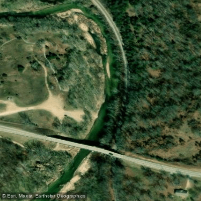
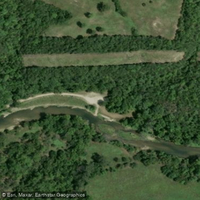
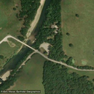
The 22-mile water trail from Lower Pyatt Access to Yellville represents the most popular and accessible section for paddlers, though the creek can be floated in other stretches when water levels permit. This section features six public access points: Upper Pyatt Access (primitive), Lower Pyatt Access at the Highway 62 bridge, Snow Access on Marion County Road 4006, Mark Oliver Access on Old Highway 62, Kelley's Slab Access at the Fred Berry Conservation Education Center, and Yellville Access in Yellville City Park.
Paddlers encounter Class I-II conditions with deep pools, fast chutes, riffles, and small waves. Under normal conditions, expect to cover approximately 2 miles per hour. The creek's character changes dramatically with rainfall—it can transform from a peaceful stream to a raging torrent within hours during heavy spring rains. The USGS gauge near Kelley's Slab provides critical information: 12-12.5 feet represents moderate floating conditions, while readings above 150 cubic feet per second become dangerous for inexperienced paddlers.
The streambed consists primarily of limestone gravel, bedrock, and sand. Smallmouth bass ranging from 12-18 inches dominate the fishery, with occasional specimens exceeding 7 pounds. Largemouth bass, Ozark bass, green sunfish, bluegill, and catfish also inhabit these waters.
Wildlife includes mink, beaver, white-tailed deer, river otters, belted kingfishers, ospreys, wood ducks, great blue herons, and both migratory and resident bald eagles.
The Fred Berry Conservation Education Center at Kelley's Slab provides 2.75 miles of accessible creek frontage on 421 acres, offering the best wading opportunities. Primitive camping exists at Snow Access and Brooksher Crooked Creek Preserve (river access only), with overnight camping permitted at the Fred Berry Center by permission—all limited to one-night stays. Virtually all shoreline remains privately owned, making public access points essential for entry.
Spring and fall provide optimal paddling conditions, though summer offers reliable flows in most years. The creek's historical significance includes its role in early Ozark settlement and its connection to the zinc mining operations near Rush.
Water access, boat ramps & amenities
Learn how to get on Crooked Creek. Uncover great paddling access points, boat ramps, and all the facilities you need for an unforgettable day on the water. Some locations shown may border or include private property. Always check property boundaries and applicable regulations before visiting. PaddleWays's Public & Private Land layer can help you plan your access with confidence.
Paddle smarter with real-time insights
Whether you're en route and conditions shift or you're looking for the best spot based on current flows, we enable you to make informed decisions on the fly.








Find Places to Paddle

Over 400,000 Places to Paddle
Every user gets free access to launch points, boat ramps, and public property parcels.


Water and weather conditions (10 day forecast)
See the best times to paddle Crooked Creek and check the forecast before you go.
Crooked Creek at Kelly Crossing at Yellville, AR
Paddling near Crooked Creek

White River
Buffalo River
Table Rock Lake
Greers Ferry Lake
Little Red River
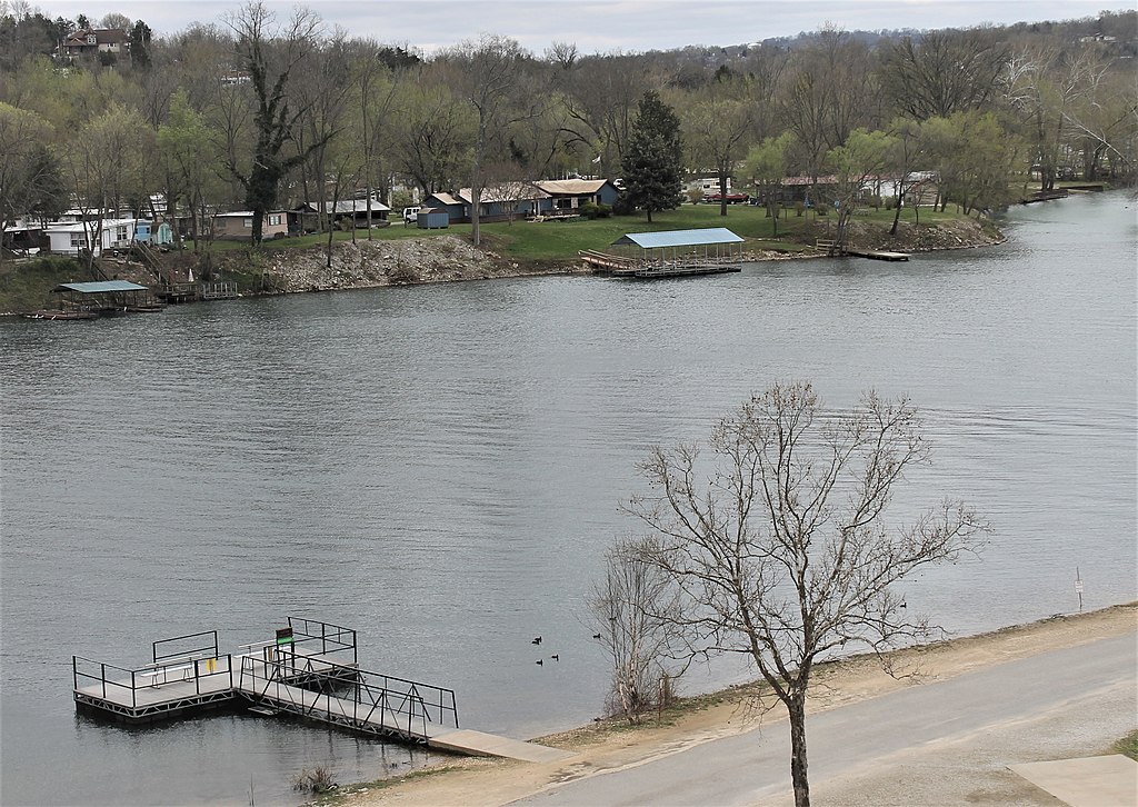
Lake Taneycomo
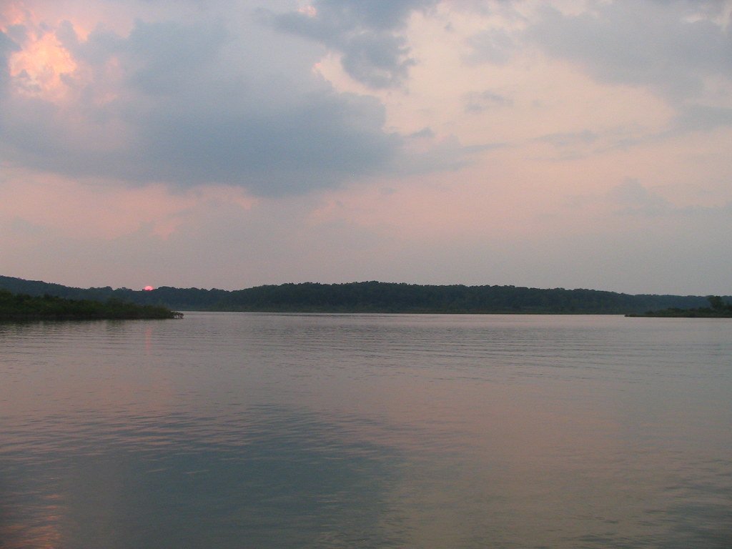
Bull Shoals Lake
Clear Creek
North Fork River
Explore Arkansas waters
Top paddling waters
Popular Cities
Loading popular cities...
Explore near Crooked Creek
Access points
- Pyatt Crooked Creek Boat Ramp
- Mark Oliver Crooked Creek Boat Ramp
- Kelly's Slab Crooked Creek Boat Ramp
- Snow Crooked Creek Boat Ramp
- Lower Crooked Creek Boat Ramp
- Yellville Crooked Creek Boat Ramp
- Pyatt Boat Ramp
- Pyatt Access
- Snow Crooked Creek Access
- Crooked Creek Access
- Crooked Creek Bridge
- Crooked Creek Bridge
- All 98 spots
Nearby waters
More in Arkansas

Smarter Paddling Starts in the App.
Paddleways gives you everything you need to plan smarter, paddle better, and own every trip from first launch to takeout.