Curated by PaddleWays
RouteFlatwater
- Distance
- 1.7 mi
- Paddle time
- ~0.5 hrs
- Best for
- Kayak
- Put-in → take-out
- Highway 69 Access → Bayou Street Access
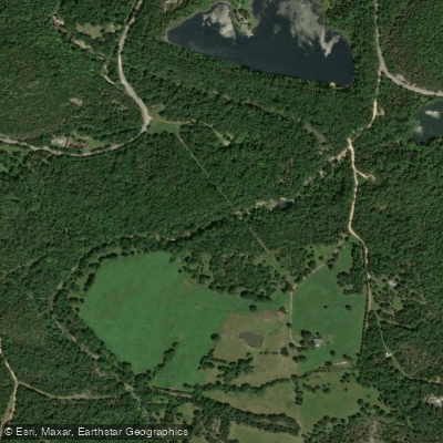
Poke Bayou, also known locally as Polk Bayou, is a scenic creek in north-central Arkansas that plays a significant role in the region's hydrology and recreational offerings. The bayou originates in Sharp County, meanders through Izard County, and ultimately empties into the White River in Independence County near the city of Batesville. This gentle waterway offers paddlers an easy, leisurely float suitable for beginners and families. The most popular section runs from White Drive to Bayou Street in Batesville, covering approximately 2 miles of flatwater. Kayakers and canoeists can enjoy a unique blend of rural and urban scenery, floating under several bridges with interesting architectural features and through the heart of downtown Batesville.
The difficulty of Poke Bayou is generally classified as flatwater, making it accessible to paddlers of all skill levels. However, water levels can significantly impact the experience. During low water periods, some shallow spots may require paddlers to briefly exit their boats and walk them through. Seasonal patterns greatly affect the bayou's paddling conditions. Spring and early summer typically offer the best water levels, while late summer and fall can see very low water. Poke Bayou Outfitters uses a color-coded system to indicate current conditions: Red for very low, Yellow for low but floatable, and Green for good water levels.
The bayou's ecosystem supports a variety of flora and fauna typical of Arkansas waterways. Key landmarks include the bridges in Batesville and Maxfield Park, which hosts events celebrating the bayou. The primary access points are at White Drive and Bayou Street in Batesville, with an additional take-out available at the White River Bridge access, approximately half a mile downstream from Poke Bayou's mouth.
Historically, Poke Bayou holds significant importance as the site of Batesville's first settlement. Today, it remains a focal point for community events and outdoor recreation, connecting the city's past with its present. Safety considerations include checking water levels before paddling and being prepared for shallow spots. While multi-day trips are not common on Poke Bayou itself, paddlers can extend their journey by continuing onto the White River.
For those seeking a tranquil paddle through a blend of natural beauty and local history, Poke Bayou offers a unique Arkansas experience, showcasing the charm of Batesville and the surrounding Independence County landscape.
Curated routes
Hand-picked by the PaddleWays team, with put-ins, take-outs, paddle times and the hazards along the way.
RouteFlatwater
Hazards
No paddler has reported a hazard here yet, so these are the dams, falls and big rapids on our map. Hazards change with flows and storms, so check them before you launch.
From the community
Nobody has shared a trip on Poke Bayou yet. Paddle it, then tell the next paddler how it went.
See exactly where the public can get on and off the river. Launch points and boat ramps are paired with PaddleWays' public land data so you know where you can legally land.
Public shoreline
0%of the river's shoreline is public
Most of the riverbank is private. Launch, land and camp only at public access points.
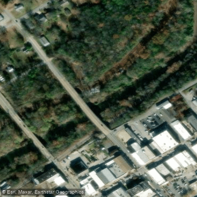
Access Point
Access Point
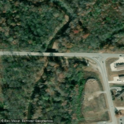
Access Point
Flows, weather and a route-by-route verdict, so you know which stretch of the Poke Bayou is worth paddling today.
No forecast data available.
Live flows, marked hazards and fresh trip reports from paddlers who were just on the water, all in one place.





Every user gets free access to launch points, boat ramps, and public property parcels.
Loading popular cities...
PaddleWays gives you everything you need to plan smarter, paddle better, and own every trip from first launch to takeout.





