The Chute
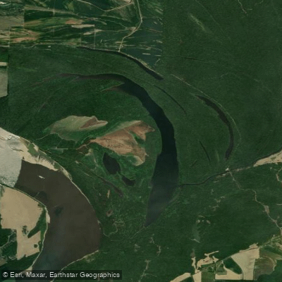
The Chute
- Boat Ramps
- 0
- Access Points
- 0
- Campsites
- 7
The Chute is a section of Cold Creek located in Fort Pillow State Historic Park in Tennessee. Paddlers can access The Chute via the Cold Creek boat launch in the John Tulley Wildlife Management Area. From there, paddle west on Cold Creek to the confluence with The Chute.
When paddling The Chute, stay to the left of the island. The Mississippi River Bluffs border the shoreline on the left. At the southern end of The Chute, paddlers should turn around and head back north to the island at the confluence with Cold Creek.
Safety is a key consideration when paddling The Chute. The current can become too strong and water levels too high for safe navigation at times. Paddlers should assess conditions carefully before attempting this route.
The area offers opportunities to view bottomland hardwood forests, wading birds, waterfowl, aquatic insects, and other wildlife indigenous to the refuge. Paddlers can enjoy fishing and take in views that showcase the natural landscape prior to settlement.
Fort Pillow State Historic Park is inaccessible from the water while paddling The Chute. However, paddlers can see the original fort entrance and bluffs created by the same glaciers that formed the Mississippi River when paddling on nearby Fort Pillow Lake.
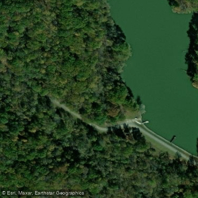
The Cold Creek boat launch provides a gravel parking lot that can accommodate approximately 100 vehicles. However, there are no restroom facilities available at this access point.
Paddlers should be aware that Fort Pillow State Park, which manages some of the surrounding area, is closed from sunset to 8:00 AM. This may impact access and usage times for The Chute, though specific regulations for paddling this section may vary.
Water access, boat ramps & amenities
Learn how to get on The Chute. Uncover great paddling access points, boat ramps, and all the facilities you need for an unforgettable day on the water. Some locations shown may border or include private property. Always check property boundaries and applicable regulations before visiting. PaddleWays's Public & Private Land layer can help you plan your access with confidence.


Paddle smarter with real-time insights
Whether you're en route and conditions shift or you're looking for the best spot based on current flows, we enable you to make informed decisions on the fly.








Find Places to Paddle

Over 400,000 Places to Paddle
Every user gets free access to launch points, boat ramps, and public property parcels.


Water and weather conditions (10 day forecast)
See the best times to paddle The Chute and check the forecast before you go.
No forecast data available.
Paddling near The Chute

Mississippi River
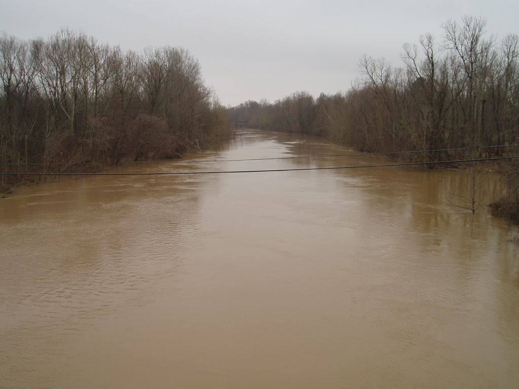
Coldwater River
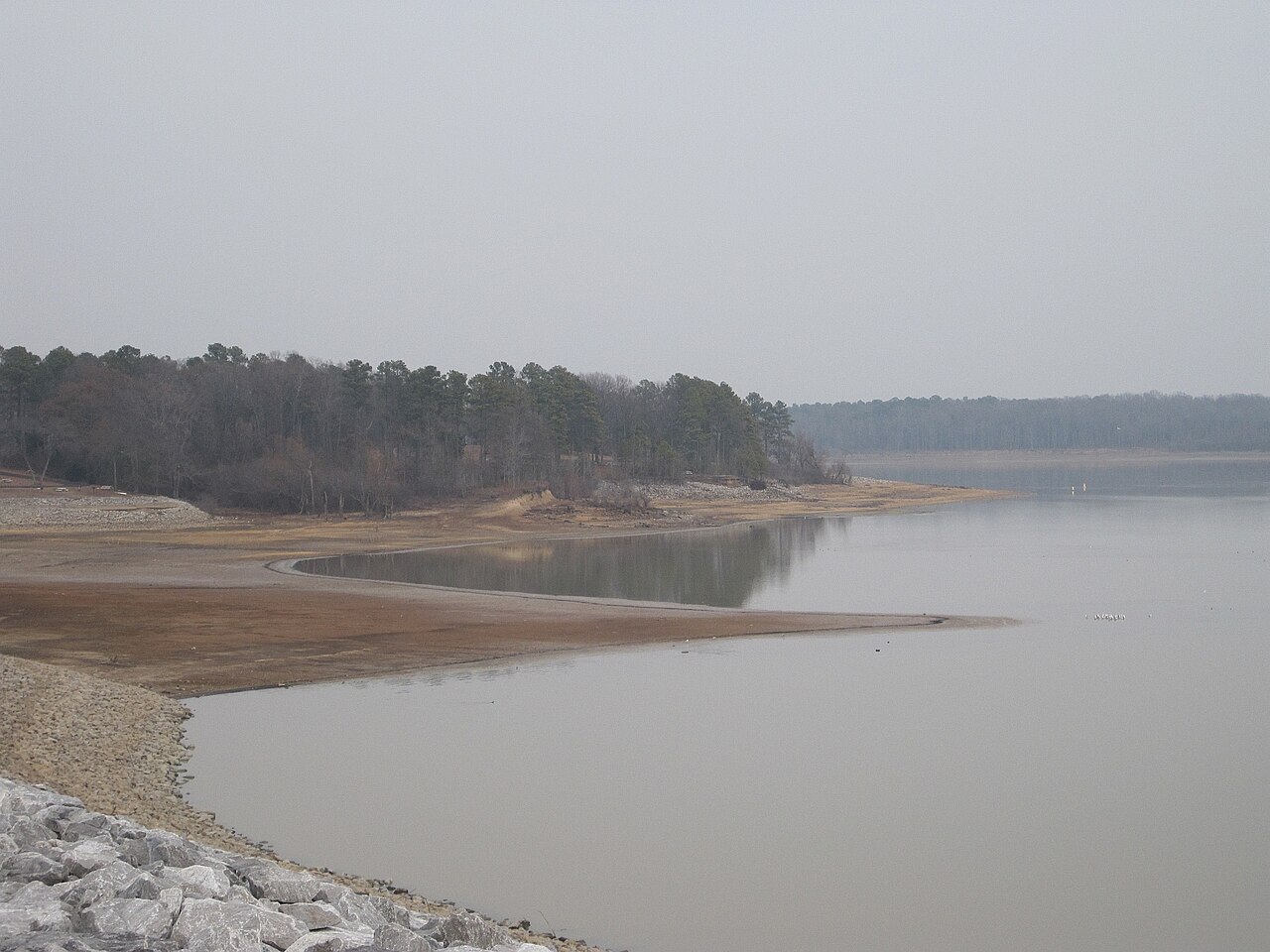
Arkabutla Lake
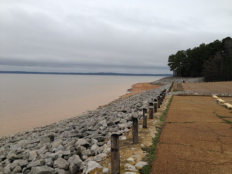
Sardis Lake
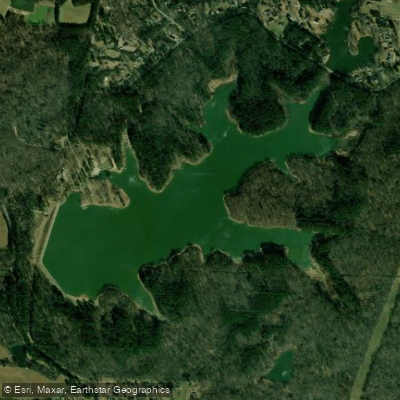
Herb Parsons Lake
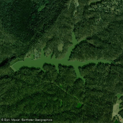
Poplar Tree Lake
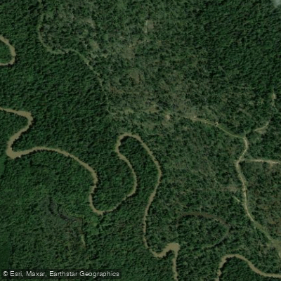
Hatchie River
Wolf River
Saint Francis River
Explore Arkansas waters
Top paddling waters
Popular Cities
Loading popular cities...
Explore near The Chute
Access points
Nearby waters
More in Arkansas

Smarter Paddling Starts in the App.
Paddleways gives you everything you need to plan smarter, paddle better, and own every trip from first launch to takeout.