Curated by PaddleWays
RouteClass I
- Distance
- 4.6 mi
- Paddle time
- ~1.5 hrs
- Best for
- Beginners, families
- Put-in → take-out
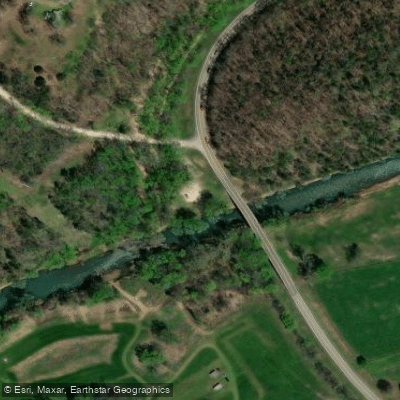
- Highway 12 Access → Withrow Springs State Park Boat Ramp
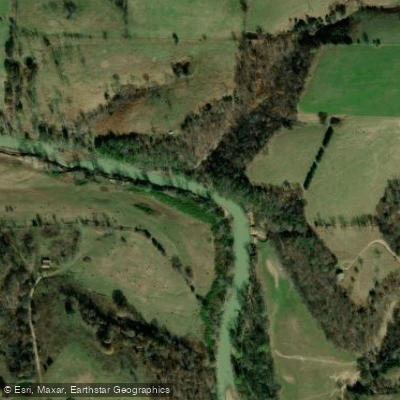
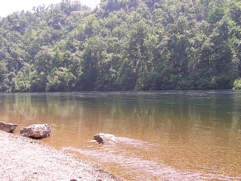
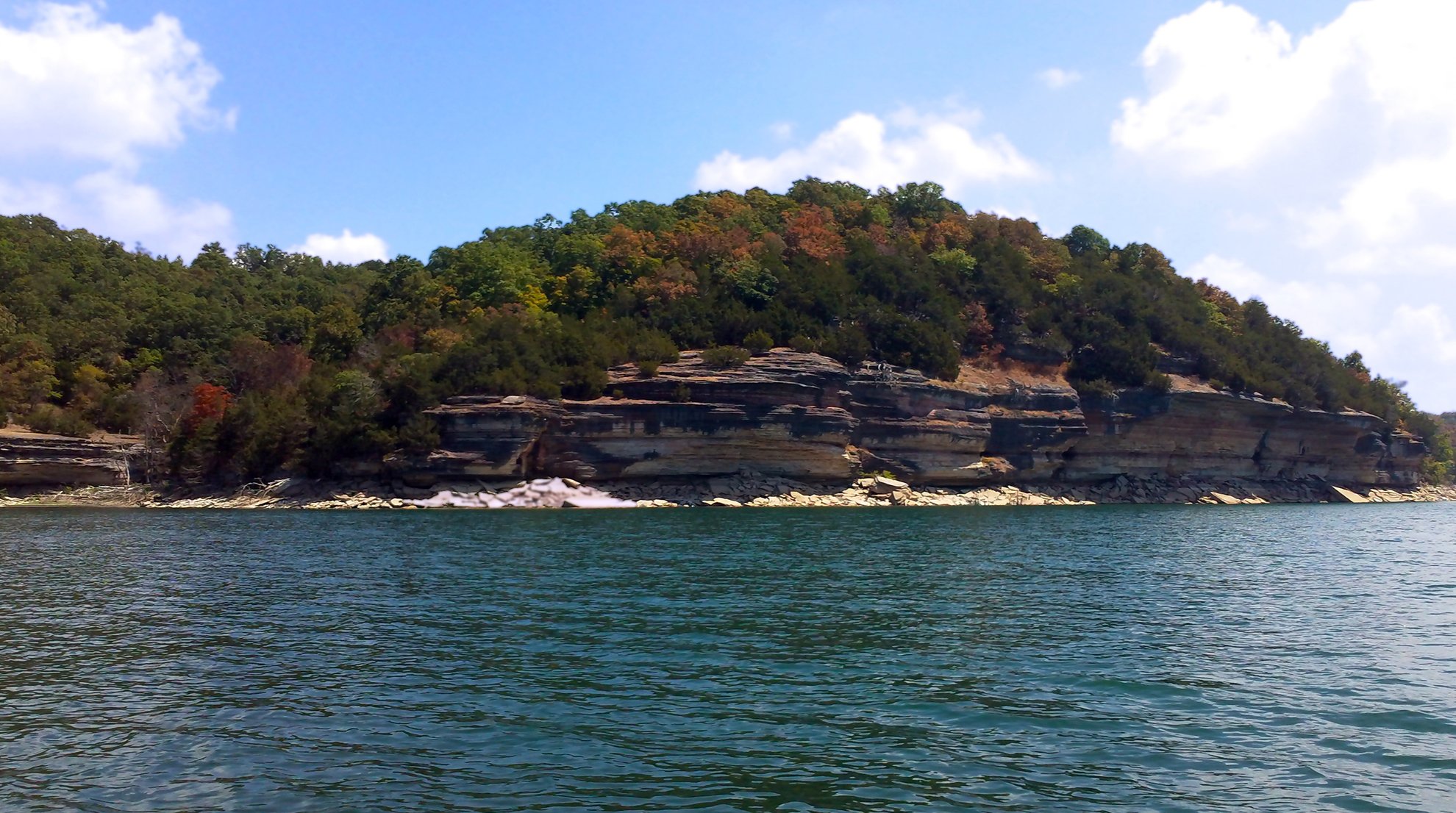
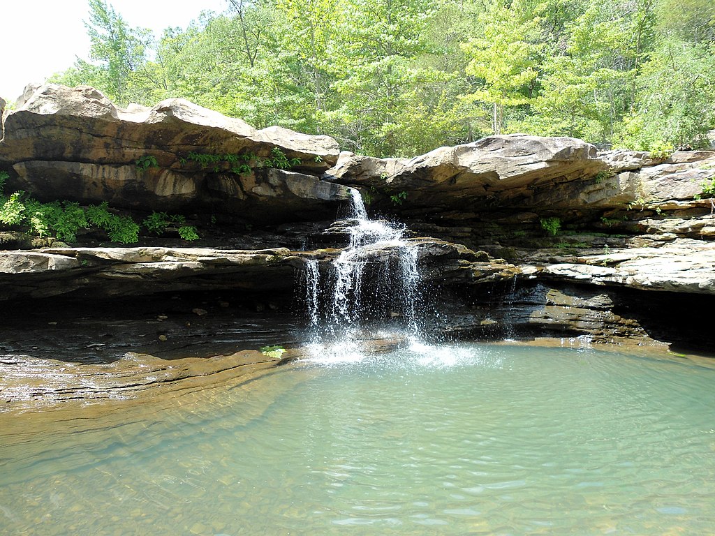
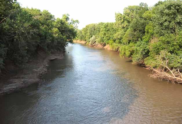
War Eagle Creek is a scenic Ozark stream located in northwest Arkansas, flowing generally northward through Madison, Washington, and Benton counties before joining Beaver Lake. This tributary of the White River system offers approximately 38 miles of paddling opportunities through diverse landscapes typical of the Ozark region. The creek originates in the Boston Mountains near Witter and meanders through forested hills, dramatic bluffs, and occasional farmland. Its clear waters and moderate gradient make it popular for floating, fishing, and wildlife viewing.
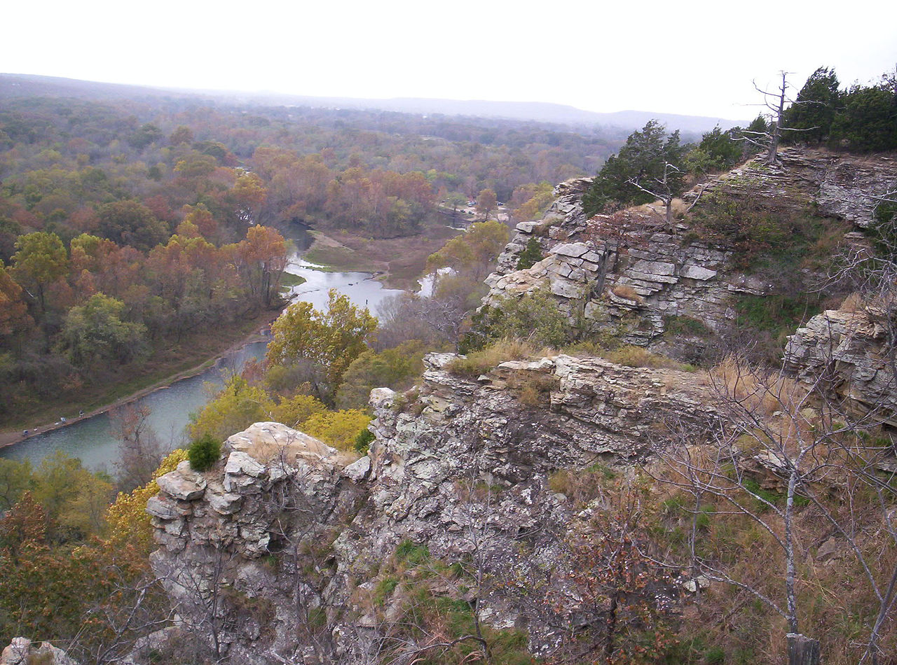
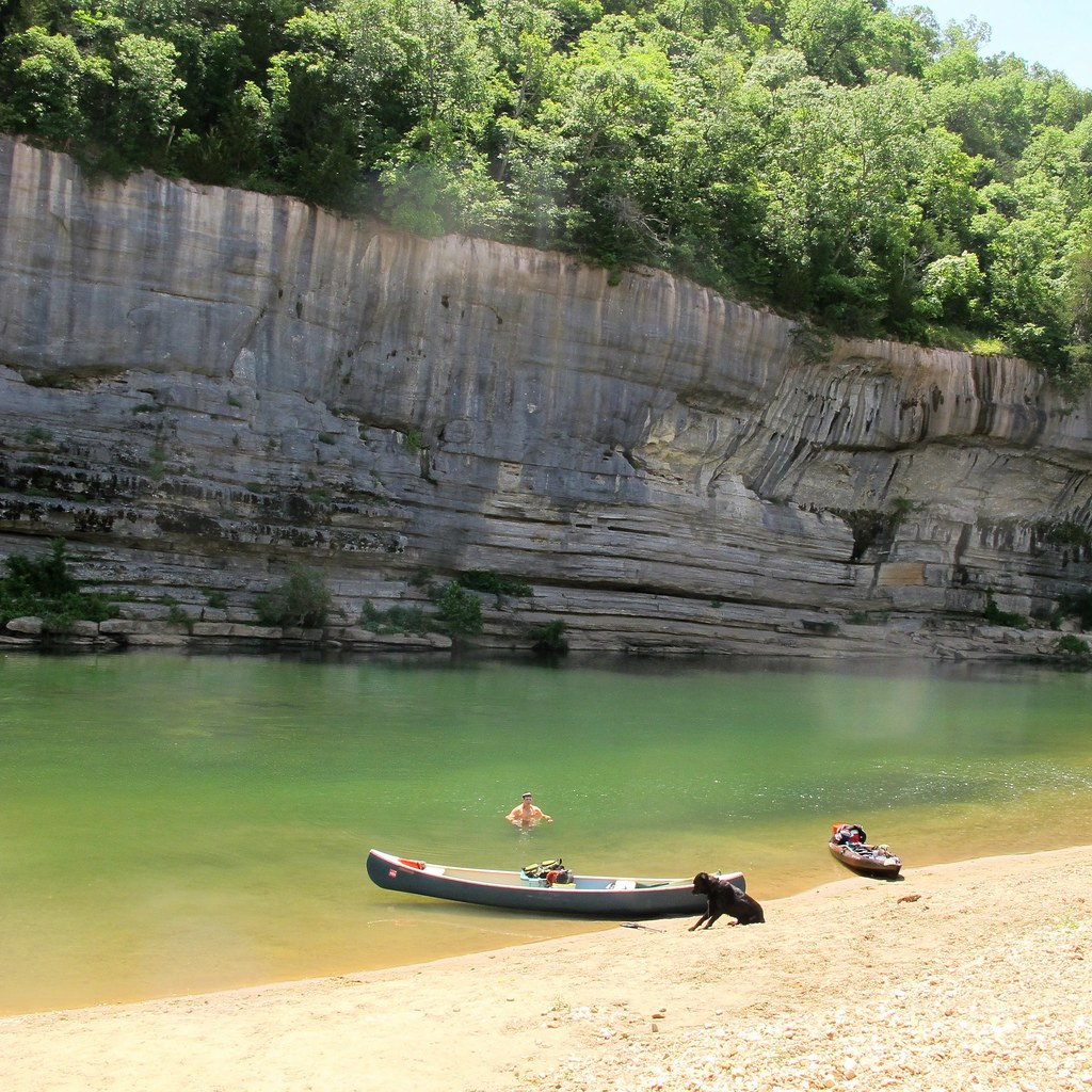
War Eagle Creek is characterized by a mix of calm pools, gentle riffles, and occasional Class I-II rapids, with some sections approaching Class III at higher water levels. Paddlers can enjoy several distinct sections, each offering unique experiences: - Upper War Eagle (Witter area): More challenging whitewater, suitable for experienced paddlers - Highway 412 to Withrow Springs State Park: A scenic 4.5-mile stretch known as the Little Buffalo for its impressive bluffs - Withrow Springs to Highway 45: A longer 13.5-mile float through diverse Ozark scenery - Highway 45 to War Eagle Mill: A 10.7-mile section ending at the historic mill
The creek is generally suitable for canoes, kayaks, and paddleboards, with difficulty ranging from Class I to II+ depending on water levels and section. Spring and fall offer the most reliable flows, while summer can bring low water conditions requiring more careful navigation.
Notable wildlife includes deer, wild turkeys, river otters, and various bird species. The surrounding forests showcase typical Ozark flora, with stunning fall foliage displays.
Key access points include: - Highway 412 bridge east of Huntsville - Withrow Springs State Park on Highway 23 - Highway 45 north of Huntsville - War Eagle Mill
War Eagle Creek holds historical significance, with War Eagle Mill being a focal point of local heritage. The area played a role in early settlement and has ties to Civil War history.
Paddlers should be aware of potential strainers and low-head dams, especially after heavy rains. Always check water levels and weather forecasts before embarking. Multi-day trips are possible by combining sections or incorporating primitive camping options along the route.
War Eagle Creek offers a quintessential Ozark paddling experience, blending natural beauty, moderate whitewater, and rich cultural history into an accessible adventure for a range of skill levels.
Curated routes
Hand-picked by the PaddleWays team, with put-ins, take-outs, paddle times and the hazards along the way.
RouteClass I
RouteFlatwater
RouteClass I–III
Hazards
No paddler has reported a hazard here yet, so these are the dams, falls and big rapids on our map. Hazards change with flows and storms, so check them before you launch.
From the community
Nobody has shared a trip on War Eagle Creek yet. Paddle it, then tell the next paddler how it went.
See exactly where the public can get on and off the river. Launch points and boat ramps are paired with PaddleWays' public land data so you know where you can legally land.
Public shoreline
18%of the river's shoreline is public
Most of the riverbank is private. Launch, land and camp only at public access points.
Flows, weather and a route-by-route verdict, so you know which stretch of the War Eagle Creek is worth paddling today.
Live flows, marked hazards and fresh trip reports from paddlers who were just on the water, all in one place.





Every user gets free access to launch points, boat ramps, and public property parcels.
Loading popular cities...
PaddleWays gives you everything you need to plan smarter, paddle better, and own every trip from first launch to takeout.