Arroyo Seco
Arroyo Seco
- Boat Ramps
- 2
- Access Points
- 2
- Campsites
- 39
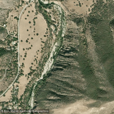
Arroyo Seco originates in the rugged Ventana Wilderness of the Santa Lucia Range in Monterey County, flowing northeast through steep canyon terrain before joining the Salinas River near Greenfield. This tributary cuts through dramatic gorges and forested canyons, creating a distinctive whitewater corridor in California's Central Coast region.
The river offers two distinct paddling sections with markedly different character. The upper section from Willowcreek Bridge to Arroyo Seco Picnic Area presents an intense 3-mile Class IV-V run featuring technical rapids, narrow passages, and significant drops including the challenging Recirculator rapid. This demanding stretch requires advanced skills and is typically navigable only during spring runoff or after substantial rainfall. The lower section from Arroyo Seco Picnic Area to the Route G16 bridge extends 14.5 miles at Class III difficulty, offering a more moderate experience with continuous rapids interspersed with calmer pools, suitable for intermediate paddlers.
Peak paddling season runs from late winter through early summer, typically February through June, when snowmelt and rainfall provide adequate flows. Summer and fall see the creek live up to its Spanish name—"dry gulch"—with flows often dropping too low for navigation. Optimal conditions occur between 200-600 cfs, though the river is runnable at higher flows for experienced boaters.
The Arroyo Seco corridor supports riparian vegetation including willows, sycamores, and alders along the streambanks, transitioning to mixed oak woodland and chaparral on the canyon slopes. Wildlife includes black-tailed deer, wild turkey, and various raptor species. The rare carnivorous pitcher plant grows on canyon walls in certain sections.
Notable features include the Narrows—a dramatic slot canyon section with towering walls—and the Yin Yang pools, a series of deep interconnected pools separated by waterfalls. The Gorge Trail parallels portions of the river, providing scouting access and hiking opportunities. Indians Road, an abandoned forest service route, offers mountain biking access to upper reaches.
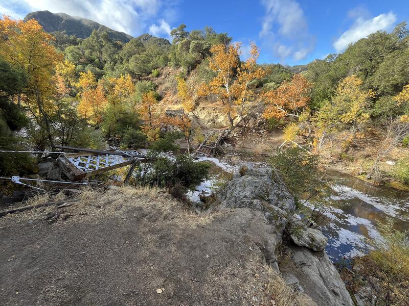
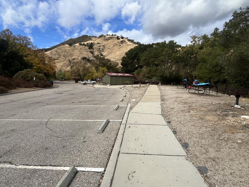
Primary access points include the Arroyo Seco Recreation Area off Arroyo Seco Road, approximately 25 miles southwest of Greenfield. The area features developed campgrounds, picnic facilities, and trail access. Additional put-ins exist at various points along the upper canyon, though some require hiking or biking to reach.
The Esselen and Salinan peoples historically inhabited this watershed. The area later saw cattle ranching and limited logging operations before much of the upper watershed gained protection within Los Padres National Forest.
Paddlers should note the remote nature of the upper canyon sections, where rescue would be difficult. Flash flood potential exists during heavy rainfall. The concrete channel begins downstream near the confluence with the Salinas River, marking the end of the natural river corridor. A wilderness permit may be required for accessing certain upper sections within the Ventana Wilderness boundary.
Water access, boat ramps & amenities
Learn how to get on Arroyo Seco. Uncover great paddling access points, boat ramps, and all the facilities you need for an unforgettable day on the water. Some locations shown may border or include private property. Always check property boundaries and applicable regulations before visiting. PaddleWays's Public & Private Land layer can help you plan your access with confidence.
Paddle smarter with real-time insights
Whether you're en route and conditions shift or you're looking for the best spot based on current flows, we enable you to make informed decisions on the fly.








Find Places to Paddle

Over 400,000 Places to Paddle
Every user gets free access to launch points, boat ramps, and public property parcels.


Water and weather conditions (10 day forecast)
See the best times to paddle Arroyo Seco and check the forecast before you go.
ARROYO SECO NR GREENFIELD CA
All Flow Stations
Paddling near Arroyo Seco
Salinas River
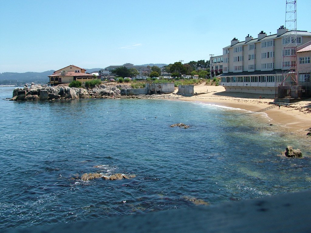
Monterey Bay
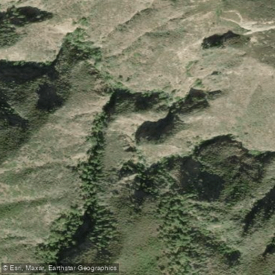
Santa Lucia Creek
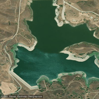
San Justo Reservoir
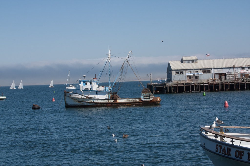
Monterey Harbor
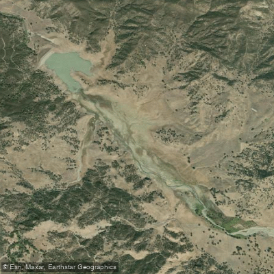
Hernandez Reservoir
Tassajara Creek
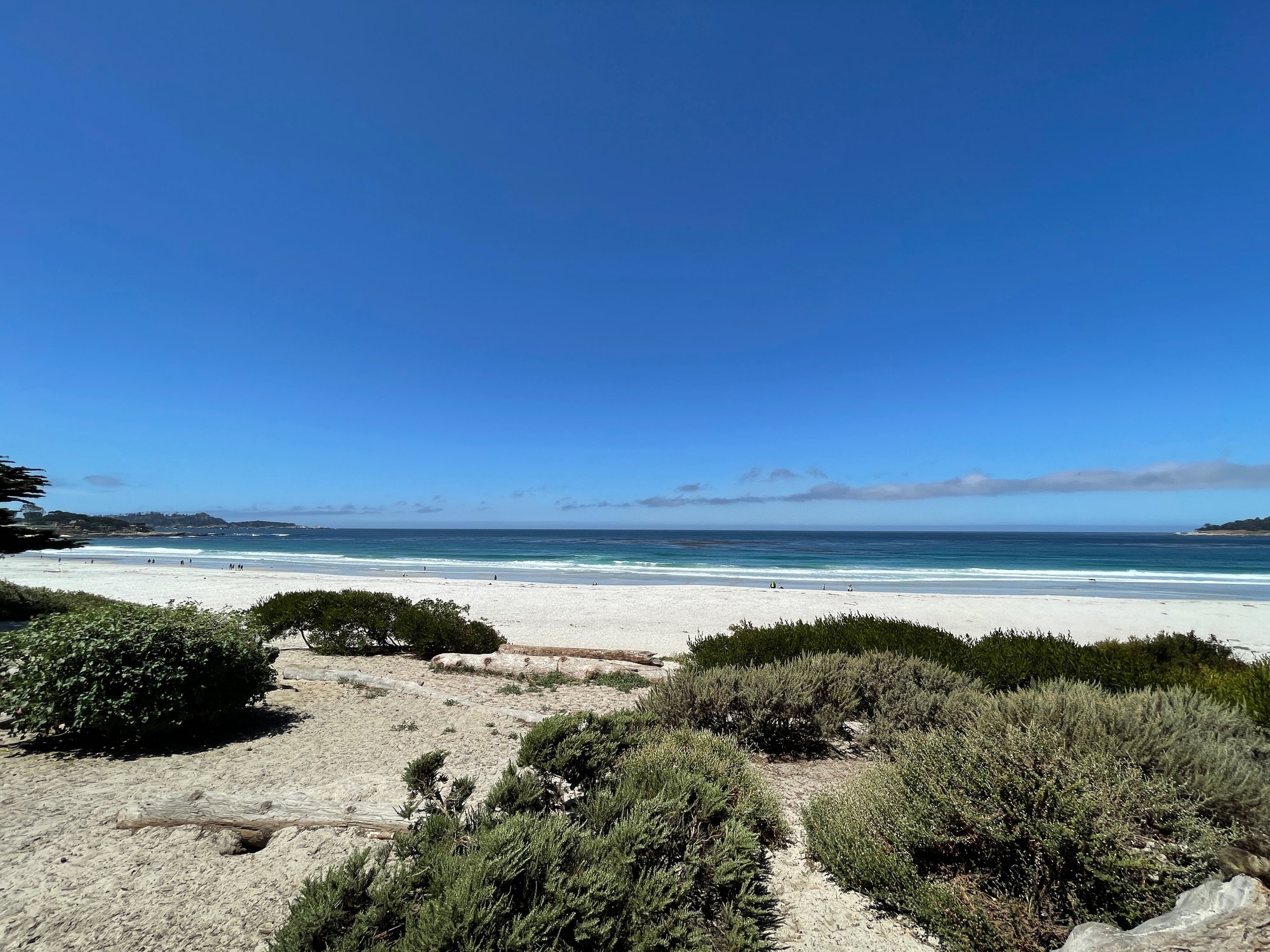
Carmel Bay
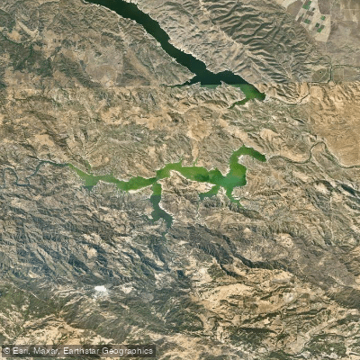
Lake Nacimiento
Explore California waters
Top paddling waters
Popular Cities
Loading popular cities...
Explore near Arroyo Seco
Access points
Nearby waters
More in California

Smarter Paddling Starts in the App.
Paddleways gives you everything you need to plan smarter, paddle better, and own every trip from first launch to takeout.