Hernandez Reservoir
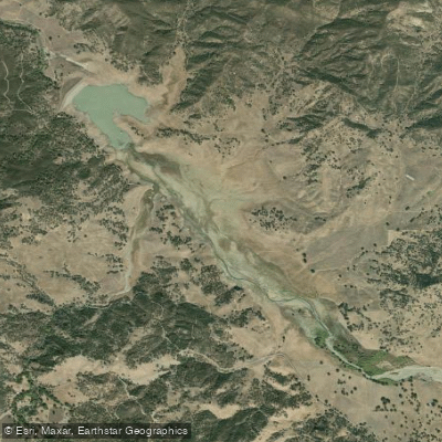
Hernandez Reservoir
- Boat Ramps
- 0
- Access Points
- 0
- Campsites
- 2
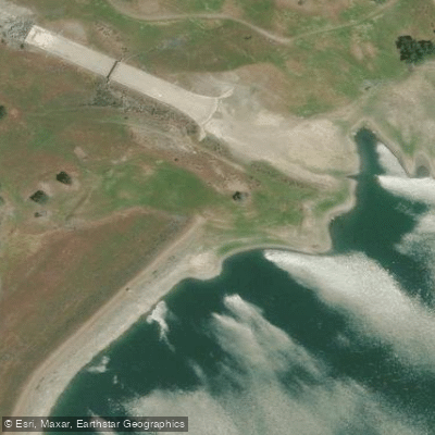
Hernandez Reservoir is located in San Benito County, California in the Diablo Mountain Range. The reservoir was created by the 124-foot tall Hernandez Dam, an earthen structure built in 1962 for irrigation and flood control purposes. With a capacity of 18,000 acre-feet, Hernandez Reservoir plays an important role in water management for the region.
Safety is a key consideration for paddlers. The dam is classified as high-hazard potential, meaning a failure could potentially result in loss of human life downstream. However, local water authorities state the dam is operating as designed and is monitored regularly. The San Benito County Water District inspects the dam every other week.
Water levels in the reservoir can fluctuate significantly based on rainfall and releases. As of March 2023, the reservoir was at 100% capacity with water flowing over the spillway. This was the first time in many years the reservoir had reached this level. Typically, it takes 12-16 hours for water to flow from the headwaters of the San Benito River to fill the reservoir after significant rainfall.
The surrounding landscape is characterized by mountainous terrain. Wildlife in the area includes various bird species. The reservoir's remote location in southern San Benito County means facilities and amenities for paddlers are limited.
Paddlers should be aware that access and patrol of the area is limited. The San Benito County Sheriff's Office has minimal presence in the southern part of the county due to staffing and communication challenges.
Before planning any paddling trips, visitors should contact the San Benito County Water District for current conditions, access information, and any restrictions or regulations regarding recreational use of the reservoir.
Water access, boat ramps & amenities
Learn how to get on Hernandez Reservoir. Uncover great paddling access points, boat ramps, and all the facilities you need for an unforgettable day on the water. Some locations shown may border or include private property. Always check property boundaries and applicable regulations before visiting. PaddleWays's Public & Private Land layer can help you plan your access with confidence.
Paddle smarter with real-time insights
Whether you're en route and conditions shift or you're looking for the best spot based on current flows, we enable you to make informed decisions on the fly.








Find Places to Paddle

Over 400,000 Places to Paddle
Every user gets free access to launch points, boat ramps, and public property parcels.


Water and weather conditions (10 day forecast)
See the best times to paddle Hernandez Reservoir and check the forecast before you go.
No forecast data available.
Paddling near Hernandez Reservoir
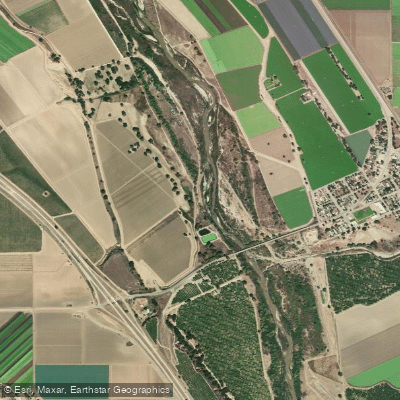
Salinas River
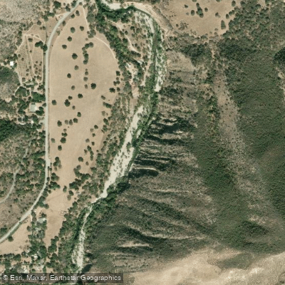
Arroyo Seco
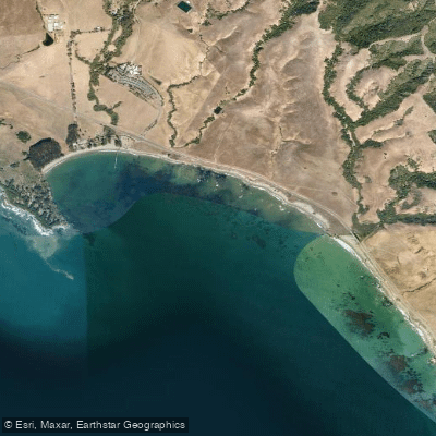
San Simeon Bay
Santa Lucia Creek
Tassajara Creek
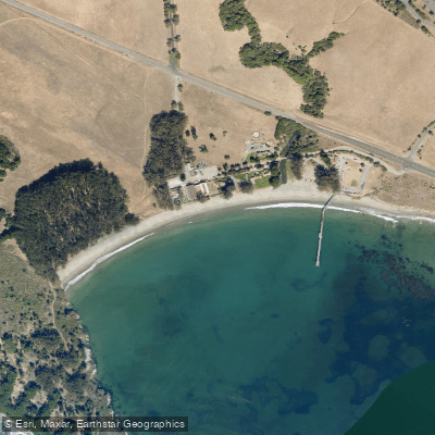
William Randolph Hearst Memorial Beach
Big Sur River
Lake Nacimiento
Monterey Bay
Explore California waters
Top paddling waters
Popular Cities
Loading popular cities...
Explore near Hernandez Reservoir
Nearby waters
More in California

Smarter Paddling Starts in the App.
Paddleways gives you everything you need to plan smarter, paddle better, and own every trip from first launch to takeout.