Big Sur River
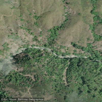
Big Sur River
- Boat Ramps
- 0
- Access Points
- 5
- Campsites
- 34
The Big Sur River is a pristine coastal waterway in central California, originating in the Santa Lucia Mountains and flowing northwestward for approximately 15.7 miles before emptying into the Pacific Ocean. With a watershed encompassing 46 square miles of rugged terrain, the river carves through the heart of Big Sur, one of California's most scenic and iconic landscapes. For paddlers, the Big Sur River offers a thrilling journey through a diverse ecosystem, with the most popular run stretching from Pfeiffer Big Sur State Park to Andrew Molera State Beach. This 6 to 7.4-mile section provides an exciting mix of class II+ rapids with one notable class III rapid called Rock Island, located just upstream from the state park campground.
The river's character changes dramatically as it descends, starting with a challenging boulder-strewn gorge before mellowing into a more relaxed float through the lush coastal valley. The overall difficulty ranges from intermediate to advanced, requiring solid whitewater skills and the ability to navigate technical rapids, particularly in the upper sections. Paddlers should be comfortable with swift water rescue techniques and be prepared for potential portages around log jams or other obstacles.
The Big Sur River is primarily a winter and spring run, with the best paddling opportunities occurring after heavy rains saturate the watershed. Flow levels between 400-1200 cfs are ideal for kayaks, while inflatable kayaks can navigate at a minimum of 300 cfs. The river's flow is highly dependent on rainfall, making it a dynamic and sometimes unpredictable waterway.
The river corridor is home to a rich array of flora and fauna, including towering redwoods, sycamores, and alders that line the banks. Wildlife such as steelhead trout, river otters, and numerous bird species can be spotted along the route. Key landmarks include the dramatic Rock Island rapid, the scenic gorge section, and the expansive views of the Big Sur coastline as the river approaches the ocean.
Pfeiffer Big Sur State Park serves as the primary put-in, while Andrew Molera State Beach offers a take-out with the potential for kayak surfing at the river mouth. Access to the river is primarily through Pfeiffer Big Sur State Park, located about 26 miles south of Carmel along Highway 1. The nearby community of Big Sur provides limited services and accommodations for paddlers planning multi-day trips.
Safety considerations include the river's remote nature, potential for rapid water level changes, and the presence of strainers and other natural hazards. Paddlers should be aware of park regulations and obtain any necessary permits before embarking on their journey.
For those seeking a longer adventure, multi-day trips can be planned by combining the river run with coastal sea kayaking along the Big Sur coastline, though this requires advanced skills and careful planning due to the challenging ocean conditions and limited landing sites. The Big Sur River, while relatively short, offers a concentrated dose of California's wild beauty, providing paddlers with an unforgettable journey through one of the state's most treasured landscapes.
Water access, boat ramps & amenities
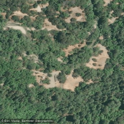
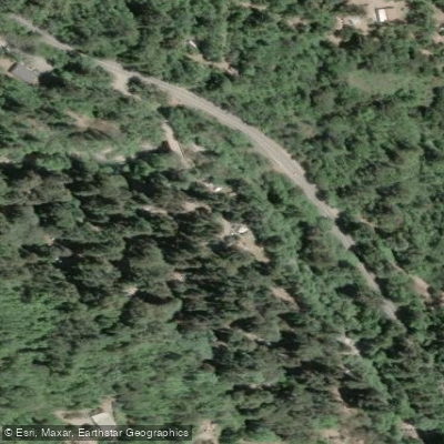
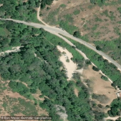
Learn how to get on Big Sur River. Uncover great paddling access points, boat ramps, and all the facilities you need for an unforgettable day on the water. Some locations shown may border or include private property. Always check property boundaries and applicable regulations before visiting. PaddleWays's Public & Private Land layer can help you plan your access with confidence.
Paddle smarter with real-time insights
Whether you're en route and conditions shift or you're looking for the best spot based on current flows, we enable you to make informed decisions on the fly.








Find Places to Paddle

Over 400,000 Places to Paddle
Every user gets free access to launch points, boat ramps, and public property parcels.


Water and weather conditions (10 day forecast)
See the best times to paddle Big Sur River and check the forecast before you go.
BIG SUR R NR BIG SUR CA
Paddling near Big Sur River
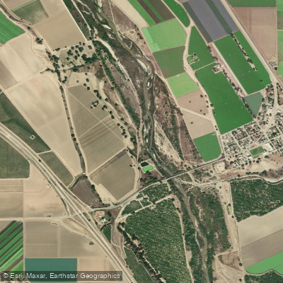
Salinas River
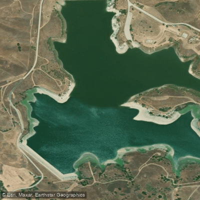
San Justo Reservoir
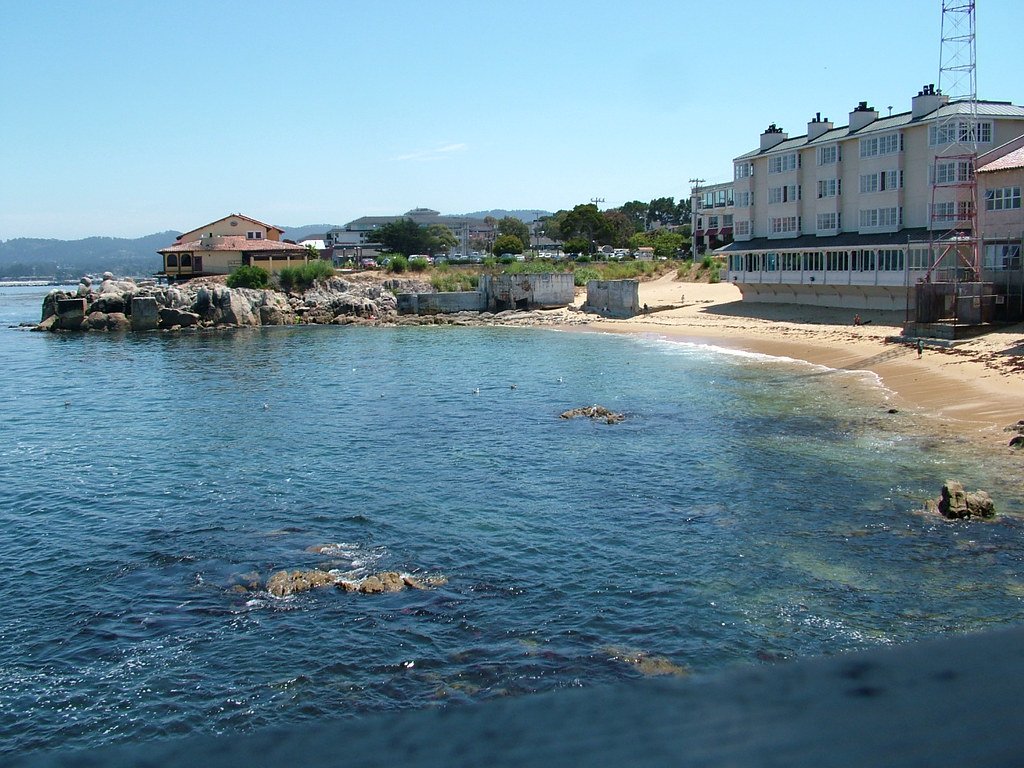
Monterey Bay
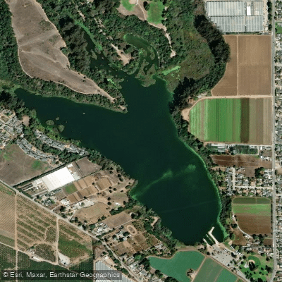
Pinto Lake
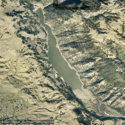
Coyote Lake
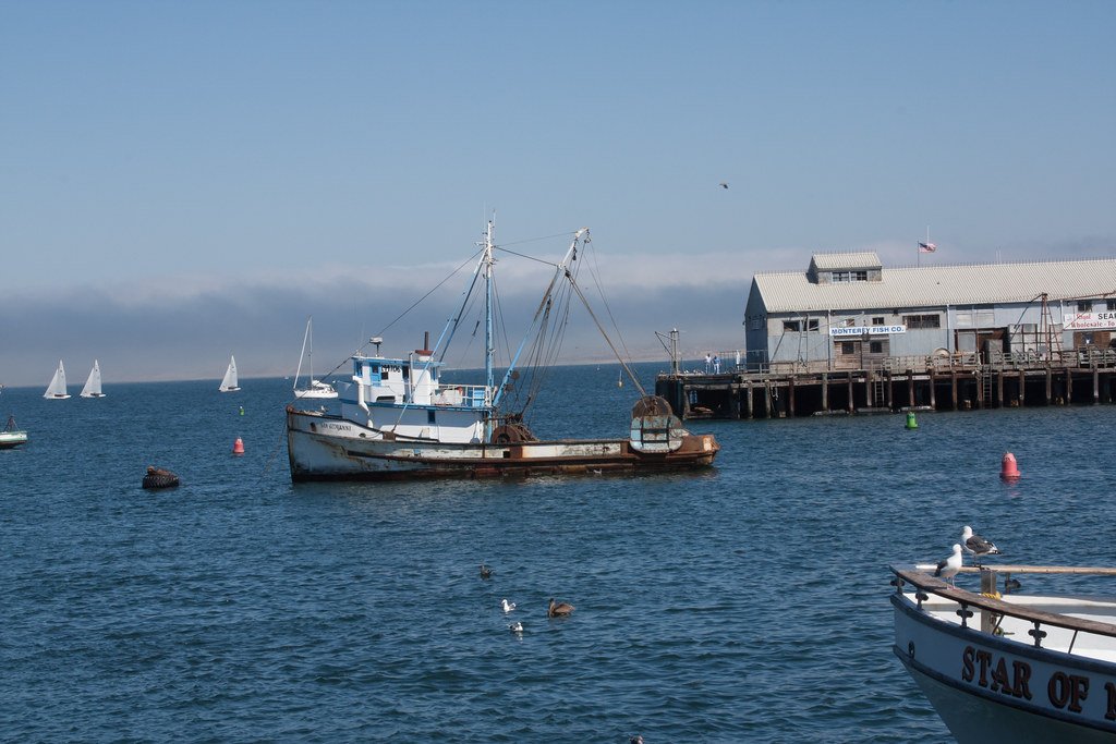
Monterey Harbor
Anderson Lake
Uvas Reservoir
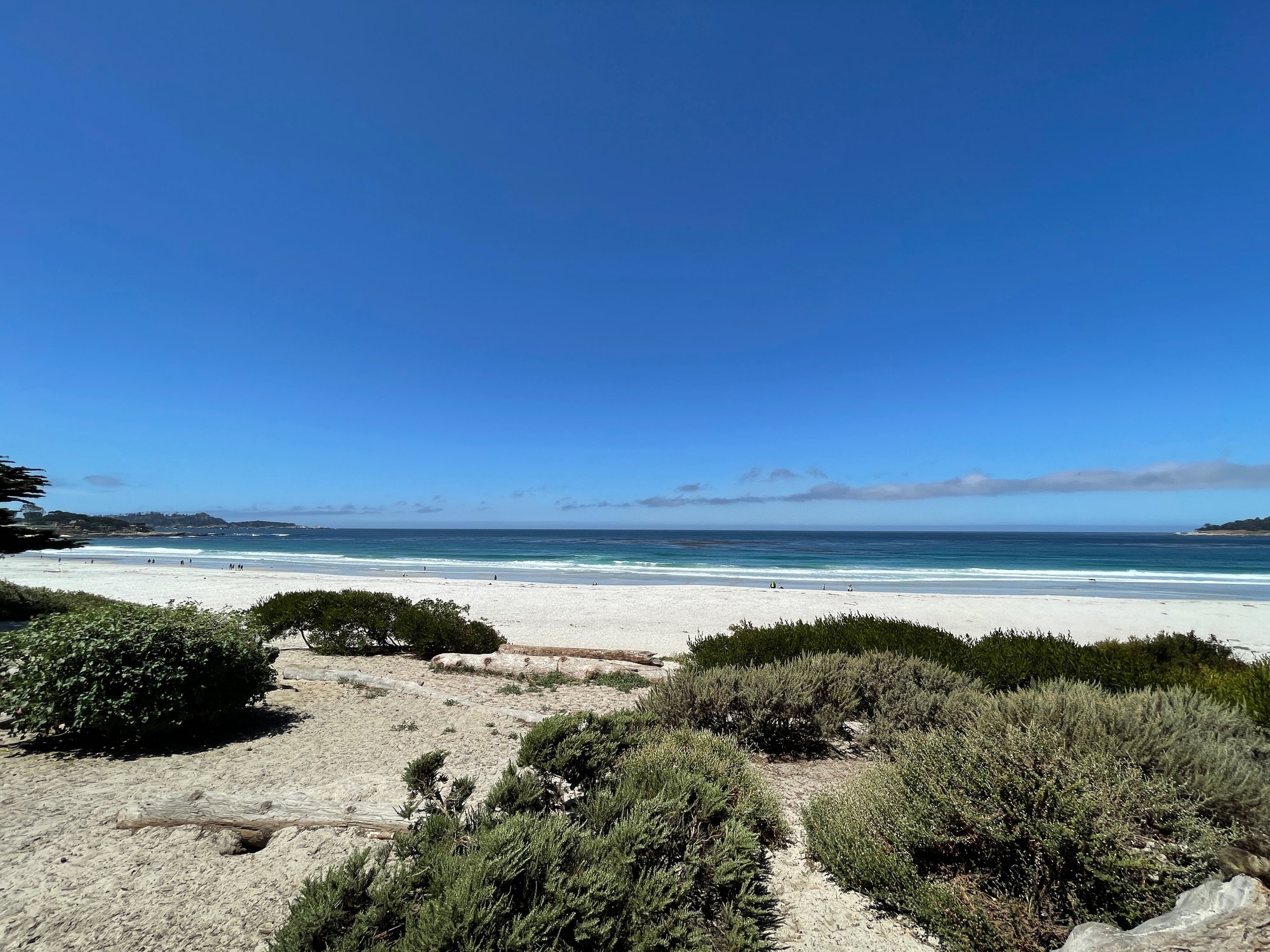
Carmel Bay
Loch Lomond
Explore California waters
Top paddling waters
Popular Cities
Loading popular cities...
Explore near Big Sur River
Access points
- Pfeiffer Big Sur State Park Access
- Big Sur Campground Access
- Andrew Molera State Park Access
- Riverside Campground Access
- Pfeiffer Big Sur State Park Access
- Big Sur River Bridge
- S Fork Little Sur River Bridge
- N Fork Little Sur River Bridge
- Little Sur River Bridge
- Sykes Campground
- Barlow Flat Campground
- Ventana Campground
- All 43 spots
Nearby waters
More in California

Smarter Paddling Starts in the App.
Paddleways gives you everything you need to plan smarter, paddle better, and own every trip from first launch to takeout.