Buccaneer Beach
- Saltwater
- Beach
Buccaneer Beach
- Saltwater
- Beach
- Sq. miles
- 0
- Boat Ramps
- 0
- Access Points
- 2
- Campsites
- 0
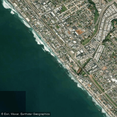
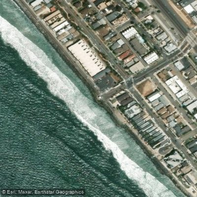
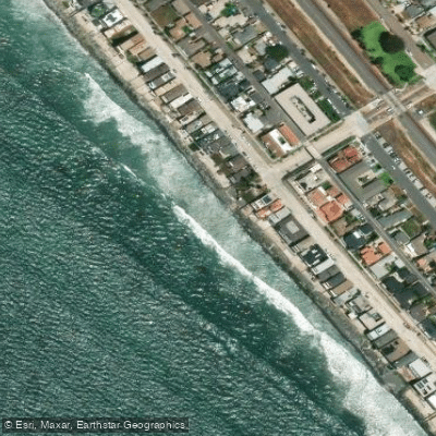
Buccaneer Beach is a small, lifeguarded beach located in the South Oceanside area of California. A free public parking lot is situated directly across the street from the beach, providing convenient access for carrying kayaks, paddleboards, or surf skis. The beach features restrooms and showers, which are useful amenities for paddlers before and after a trip. The overall character is that of a community beach with a park, café, and playground adjacent to it. For paddlers, a key regulation to note is that during the summer months, the ocean area directly in front of the lifeguard tower and between bordering rocks is designated for swimmers, waders, and bodyboarders only, and is closed to surfing and other craft. This zone is marked with checkered flags and signs. Paddlers must launch and land outside of this designated swimming area. The waters outside the flagged zone are open to surfing and all other water activities, including paddling. The beach is bordered by rocks, which can influence local wave patterns and provide a point of reference. A notable nearby feature is the Loma Alta Marsh Footpath, suggesting potential for exploring calmer, adjacent wetland waters, though the primary launch is into the Pacific Ocean. The beach faces west-southwest, offering exposure to prevailing northwesterly winds and swells, and conditions will be influenced by typical Southern California coastal patterns, including tide changes that affect the carry distance to the water and the character of the shore break.
Water access, boat ramps & amenities
Learn how to get on Buccaneer Beach. Uncover great paddling access points, boat ramps, and all the facilities you need for an unforgettable day on the water. Some locations shown may border or include private property. Always check property boundaries and applicable regulations before visiting. PaddleWays's Public & Private Land layer can help you plan your access with confidence.
Paddle smarter with real-time insights
Whether you're en route and conditions shift or you're looking for the best spot based on current flows, we enable you to make informed decisions on the fly.








Find Places to Paddle

Over 400,000 Places to Paddle
Every user gets free access to launch points, boat ramps, and public property parcels.


Tides, wind & water conditions (10 day forecast)
On open water, wind and tide matter as much as the weather. See the best times to paddle Buccaneer Beach and check the marine forecast before you launch.
Loading tide predictions…
Paddling near Buccaneer Beach
Explore California waters
Top paddling waters
Popular Cities
Loading popular cities...
Explore near Buccaneer Beach
Access points
- Oceanside City Beach Access
- South Oceanside Beach Access
- Loma Alta Creek Bridge
- Buena Vista Creek Bridge
- Loma Alta Creek Bridge
- Buena Vista Lagoon Bridge
- Loma Alta Creek Bridge
- Buena Vista Creek Bridge
- San Luis Rey River Bridge
- Buena Vista Creek Bridge
- Buena Vista Creek Bridge
- Santa Margarita River Bridge
- All 14 spots
Nearby waters
More in California

Smarter Paddling Starts in the App.
Paddleways gives you everything you need to plan smarter, paddle better, and own every trip from first launch to takeout.