Curated by PaddleWays
RouteClass IV
- Distance
- 6.8 mi
- Paddle time
- ~1.5 hrs
- Best for
- Experienced paddlers
- Put-in → take-out
- New Hogan Access → Jenny Lind Run Access
Aggressive landowners at the take-out
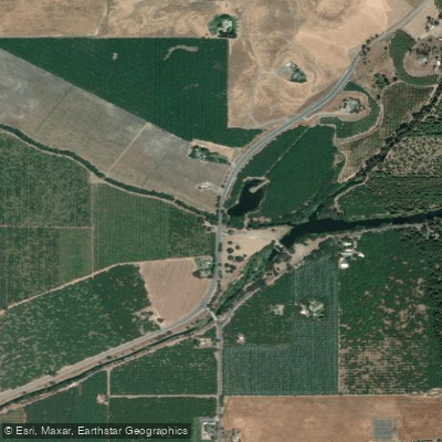
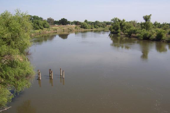
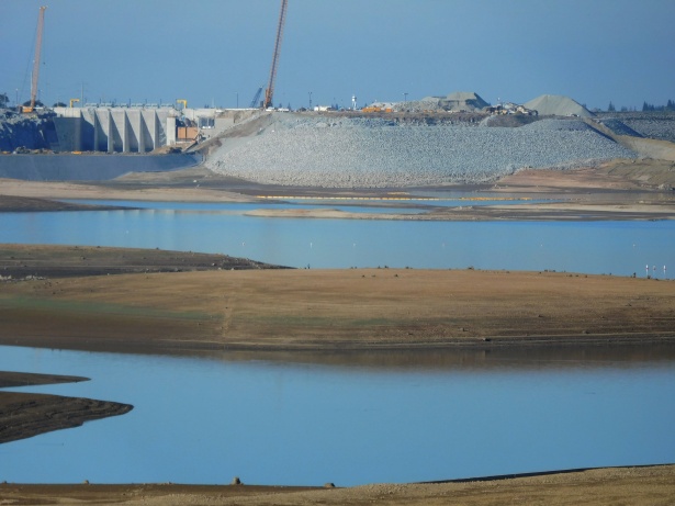
The Calaveras River is a significant waterway in California's Sierra Nevada foothills, originating in the high country of Calaveras County and flowing westward towards the San Joaquin Valley. The river is impounded by New Hogan Dam, forming New Hogan Lake, before continuing its journey to join the San Joaquin River near Stockton. Paddling opportunities on the Calaveras River vary dramatically from placid flatwater to challenging whitewater.
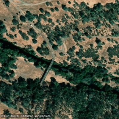
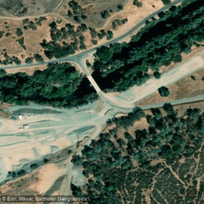
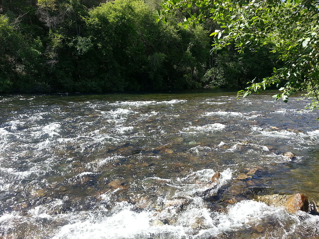
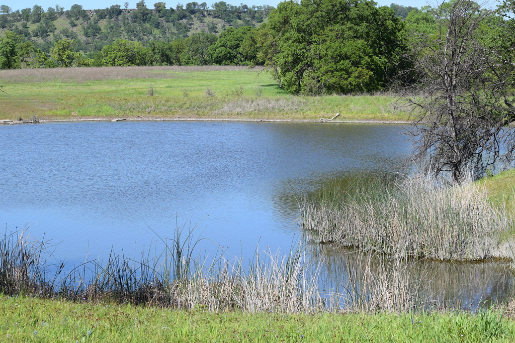
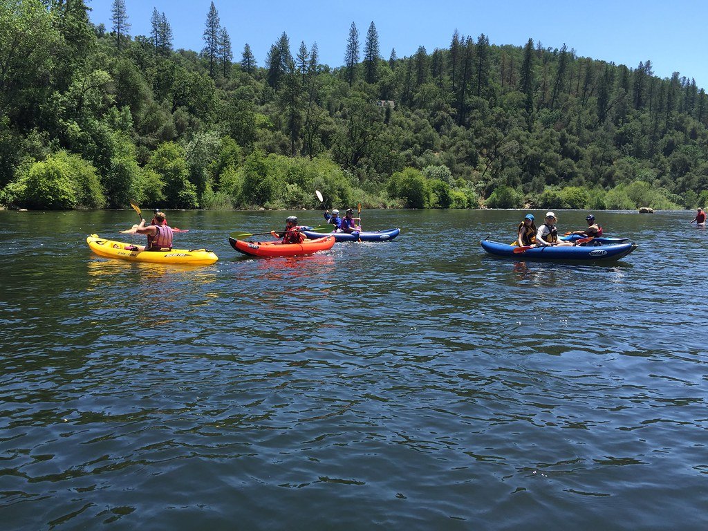
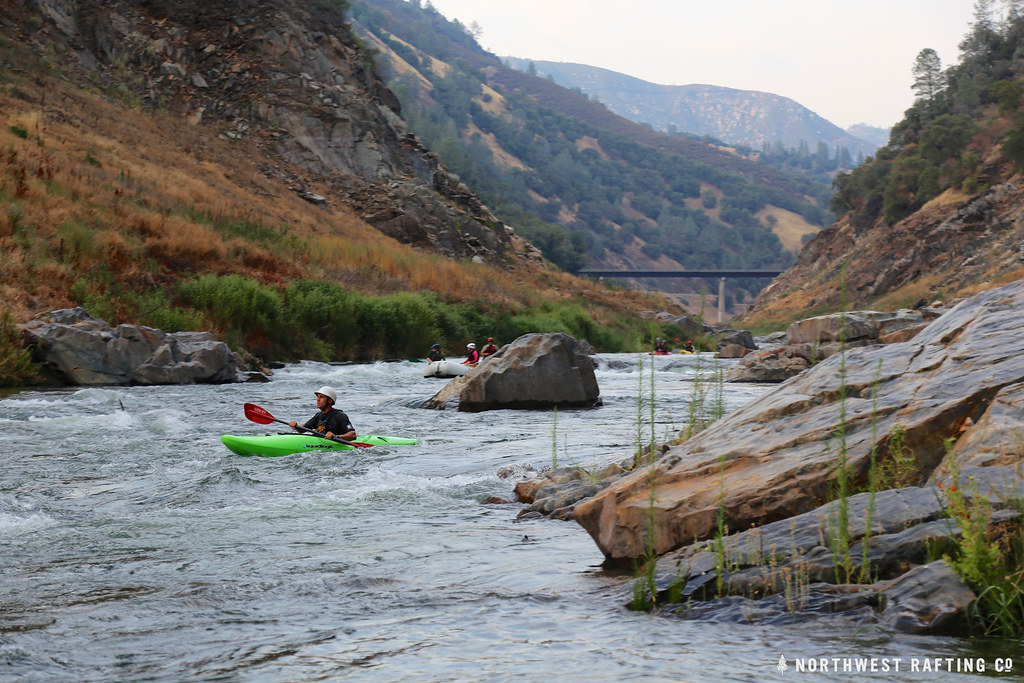
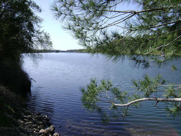
New Hogan Lake offers excellent conditions for kayaking, canoeing, and stand-up paddleboarding, with 4,400 acres of water surrounded by oak-studded hills. Below the dam, experienced whitewater enthusiasts can tackle the 6-mile Class IV+ stretch from New Hogan to Jenny Lind. This technical run features numerous rapids through a scenic canyon, though access issues at the take-out have been reported. The river's flow is heavily regulated by New Hogan Dam, making the whitewater section below the dam dependent on releases. Spring typically offers the best conditions for paddling, coinciding with snowmelt and reservoir management. However, paddlers should always check current flow information and dam release schedules before planning a trip.
Wildlife along the Calaveras River includes a variety of fish species such as striped bass, rainbow trout, and brown trout. The riparian corridor supports diverse plant life, with oak trees being particularly prominent along the upper reaches. A notable feature for recreational users is the Calaveras River Pedestrian Path in Stockton, a 4.2-mile out-and-back trail that offers easy access to the river's lower reaches. This urban trail is popular for walking, biking, and fishing, providing a connection to nature within the city.
Key access points include New Hogan Lake for flatwater paddling, the dam outflow for the whitewater section, and various points along the pedestrian path in Stockton. The towns of Valley Springs and Jenny Lind are near the upper river, while Stockton is the major urban center on the lower river. Safety considerations are paramount, especially on the whitewater section. Paddlers should be aware of potential strainers from oak trees in the river and scout rapids carefully. The urban sections require awareness of water quality issues typical of city waterways.
The Calaveras River plays a crucial role in the region's water supply and flood control, managed by the Stockton East Water District. Its waters have supported human settlement and agriculture in the area for generations, from the Gold Rush era to modern times. While multi-day trips are not common on the Calaveras, the river offers a diverse range of single-day experiences, from thrilling whitewater adventures to peaceful urban nature escapes, reflecting the varied landscapes of California's Sierra foothills and Central Valley.
Curated routes
Hand-picked by the PaddleWays team, with put-ins, take-outs, paddle times and the hazards along the way.
RouteClass IV
Hazards
No hazards are marked on Calaveras River yet. That is not the same as none being there: if you find one, report it for the next paddler.
From the community
Nobody has shared a trip on Calaveras River yet. Paddle it, then tell the next paddler how it went.
See exactly where the public can get on and off the river. Launch points and boat ramps are paired with PaddleWays' public land data so you know where you can legally land.
Public shoreline
17%of the river's shoreline is public
Most of the riverbank is private. Launch, land and camp only at public access points.
Flows, weather and a route-by-route verdict, so you know which stretch of the Calaveras River is worth paddling today.
Live flows, marked hazards and fresh trip reports from paddlers who were just on the water, all in one place.





Every user gets free access to launch points, boat ramps, and public property parcels.
Loading popular cities...
PaddleWays gives you everything you need to plan smarter, paddle better, and own every trip from first launch to takeout.