Clear Creek
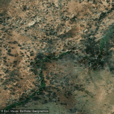
Clear Creek
- Boat Ramps
- 0
- Access Points
- 0
- Campsites
- 5
Clear Creek flows through the Piute Mountains of Kern County, California, carving a dramatic descent from elevations around 8,000 feet down to approximately 3,000 feet where it meets the Kern River near the community of Havilah. This tributary of the Kern River system originates from Cold Springs and travels roughly 12 miles through the Sequoia National Forest, creating one of the most technically demanding and scenically striking mountain biking trails in the southern Sierra Nevada.
The creek flows through a narrow, deeply incised canyon characterized by exposed granite and metamorphic rock formations. Along its course, Clear Creek encounters 29 creek crossings in the middle section alone, creating a challenging environment where water clarity reveals the bedrock beneath. The surrounding terrain features a mix of lodgepole and ponderosa pines, with granite boulders dotting the landscape and wildflowers appearing in spring and early summer months.
Access to Clear Creek presents significant challenges. The upper reaches can be approached via Saddle Springs Road and Forest Service roads requiring high-clearance vehicles, with the journey taking at least an hour from Havilah. The lower terminus near Havilah is more accessible via Caliente Bodfish Road, approximately 20 miles south of Lake Isabella. The historic Kern County Courthouse Museum in Havilah provides a landmark near the lower access point.
The creek's history connects to California's gold rush era, with triangle tree blazes marking trails dating to the 1800s when prospectors worked these mountains. Evidence of historic mining operations, including remnants of Burton Mill and Valley View mine, can be found along the drainage. The area has been utilized for three centuries, first by Indigenous peoples, then by gold seekers, and now by outdoor recreationists.
Private property issues complicate access at the lower end, where the original trailhead near Havilah crosses private land. While a prescriptive easement case could be made given the trail's historic use, current access requires discretion and respect for posted boundaries. The Forest Service has placed signs indicating "Please close gate" at the private property boundary approximately 9.3 miles into the drainage.
Water flow in Clear Creek varies dramatically with seasonal snowmelt, typically running highest in spring and early summer. By late summer and fall, flows drop significantly, exposing more rock and creating technical challenges for any water-based passage. The creek's steep gradient of approximately 5,000 feet of descent over its length creates continuous rapids and waterfalls, with flash flood potential during heavy rain events.
Wildlife in the drainage includes black bears, deer, osprey, and various oak woodland species adapted to the chaparral-dominated lower elevations and coniferous forests at higher elevations.
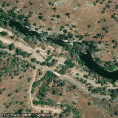
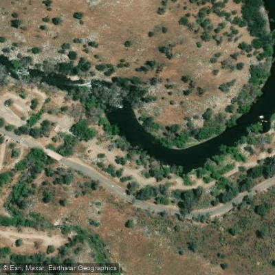
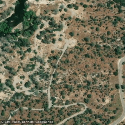
Water access, boat ramps & amenities
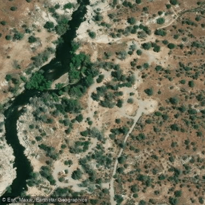
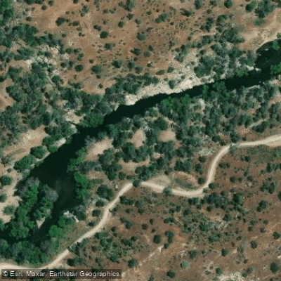
Learn how to get on Clear Creek. Uncover great paddling access points, boat ramps, and all the facilities you need for an unforgettable day on the water. Some locations shown may border or include private property. Always check property boundaries and applicable regulations before visiting. PaddleWays's Public & Private Land layer can help you plan your access with confidence.
Paddle smarter with real-time insights
Whether you're en route and conditions shift or you're looking for the best spot based on current flows, we enable you to make informed decisions on the fly.








Find Places to Paddle

Over 400,000 Places to Paddle
Every user gets free access to launch points, boat ramps, and public property parcels.


Water and weather conditions (10 day forecast)
See the best times to paddle Clear Creek and check the forecast before you go.
No forecast data available.
Paddling near Clear Creek
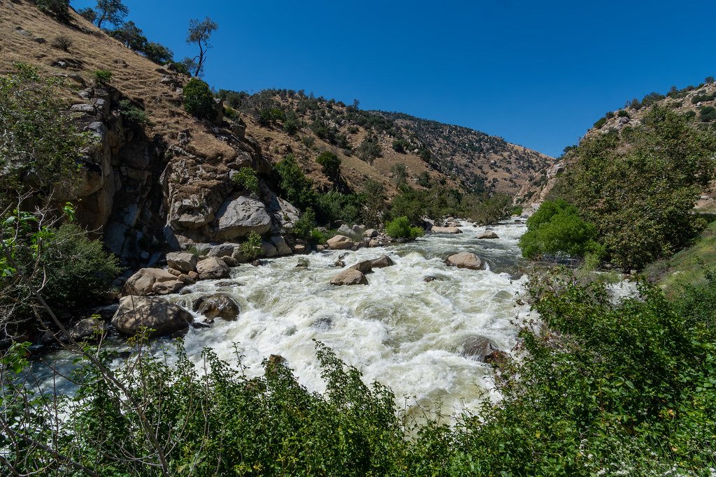
Kern River
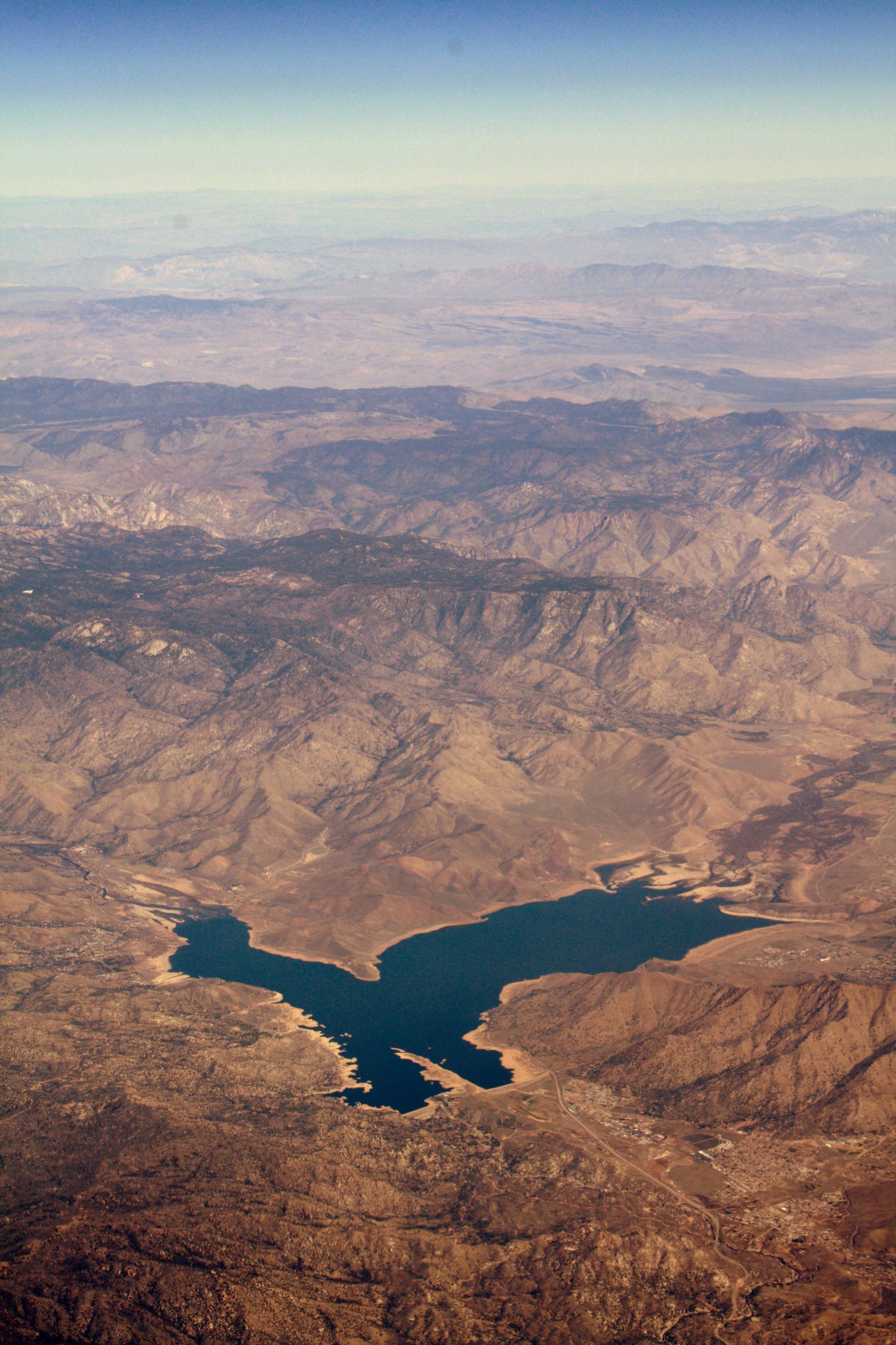
Isabella Lake
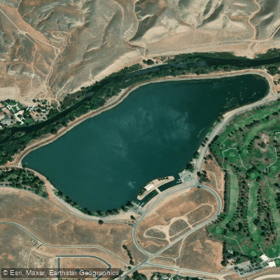
Lake Ming
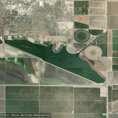
Lake Webb
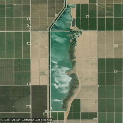
Lake Woollomes
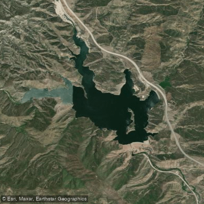
Pyramid Lake

Piru Creek
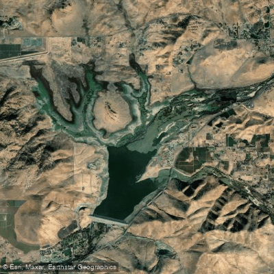
Lake Success
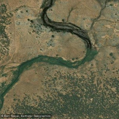
South Fork Kern River
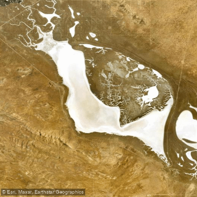
Soda Lake
Explore California waters
Top paddling waters
Popular Cities
Loading popular cities...
Explore near Clear Creek
Access points
Nearby waters
More in California

Smarter Paddling Starts in the App.
Paddleways gives you everything you need to plan smarter, paddle better, and own every trip from first launch to takeout.