Deep Creek
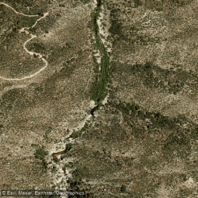
Deep Creek
- Boat Ramps
- 0
- Access Points
- 3
- Campsites
- 32
Deep Creek is a significant waterway in Southern California, originating in the San Bernardino Mountains near Lake Arrowhead and flowing northward for approximately 16 miles before joining the Mojave River at Mojave River Forks Dam. This creek carves a scenic canyon through the northern slopes of the San Bernardino range, forming part of the boundary between the mountain ecosystem and the Mojave Desert. The creek offers diverse paddling opportunities, ranging from calm flatwater sections to challenging whitewater runs. The upper reaches near Lake Arrowhead provide easier paddling, while the lower sections through Deep Creek Canyon present more technical Class III-IV rapids. Experienced whitewater kayakers may attempt the full 16-mile run during high water conditions, but most paddlers focus on shorter day trips in the calmer sections.
Deep Creek's flow is highly seasonal, with the best paddling typically occurring in spring after snowmelt. Summer often sees low water levels, while winter storms can create dangerous flash flood conditions. Late spring is generally recommended for optimal water levels and weather.
The creek's ecosystem supports a rich variety of flora and fauna. Paddlers may spot ospreys, bald eagles, and great blue herons along the shoreline. The surrounding landscape transitions from pine forests in the upper reaches to desert vegetation as the creek descends. A notable landmark is the Deep Creek Hot Springs, a popular destination located about midway along the creek's course. Two elevated bridges where the Pacific Crest Trail crosses Deep Creek are also prominent features.
Primary access points include put-ins near Lake Arrowhead and take-outs at Mojave River Forks Dam. The nearest towns are Apple Valley to the north and Lake Arrowhead to the south.
Deep Creek holds cultural significance as part of the traditional lands of the Serrano people. Historically, it played a role in early water development projects for the Hesperia area.
Safety is paramount when paddling Deep Creek. Flash floods are a serious hazard, and paddlers should check weather forecasts and water levels before their trip. The hot springs area is day-use only, with no overnight camping allowed. While multi-day trips are possible for experienced paddlers during high water, most visitors opt for day trips due to the creek's relatively short length and challenging nature. Paddlers attempting longer runs should be well-prepared with appropriate gear and wilderness skills.
Water access, boat ramps & amenities
Learn how to get on Deep Creek. Uncover great paddling access points, boat ramps, and all the facilities you need for an unforgettable day on the water. Some locations shown may border or include private property. Always check property boundaries and applicable regulations before visiting. PaddleWays's Public & Private Land layer can help you plan your access with confidence.
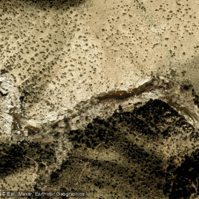
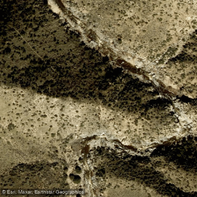
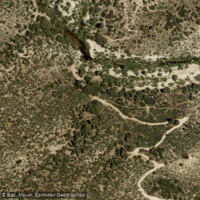
Paddle smarter with real-time insights
Whether you're en route and conditions shift or you're looking for the best spot based on current flows, we enable you to make informed decisions on the fly.








Find Places to Paddle

Over 400,000 Places to Paddle
Every user gets free access to launch points, boat ramps, and public property parcels.


Water and weather conditions (10 day forecast)
See the best times to paddle Deep Creek and check the forecast before you go.
DEEP C NR HESPERIA CA
Paddling near Deep Creek
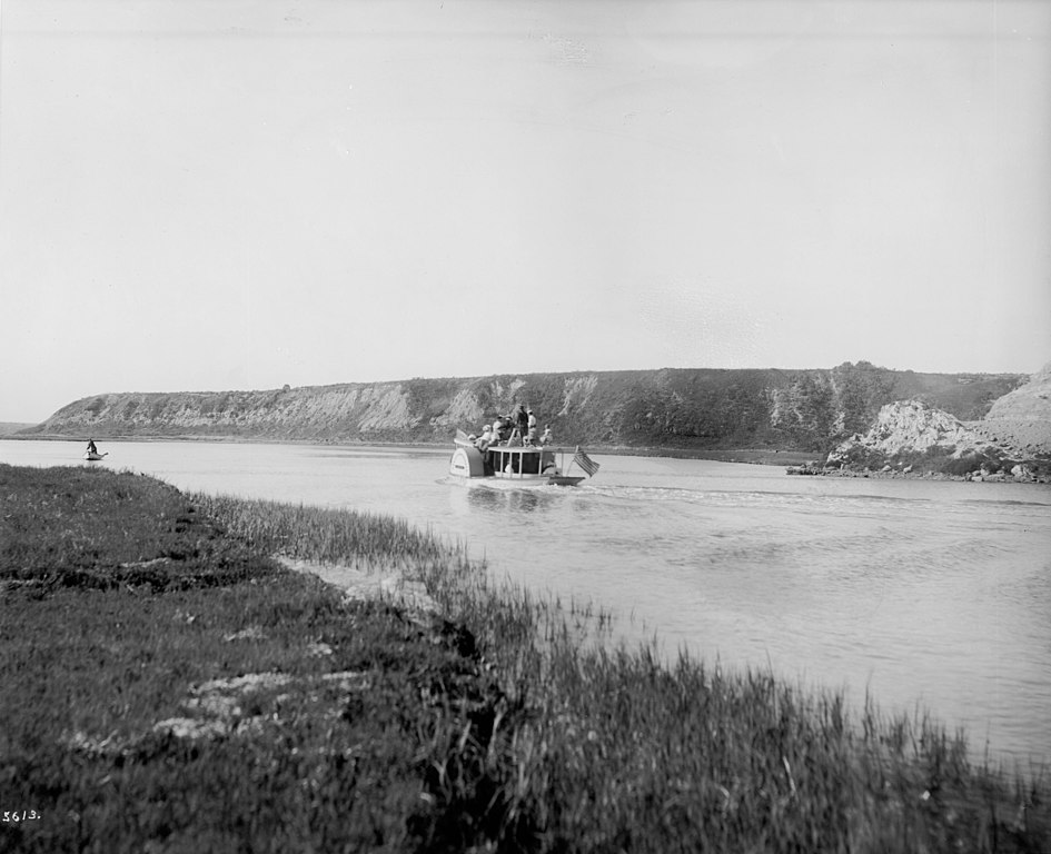
Santa Ana River
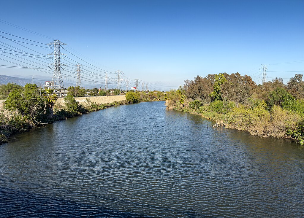
San Gabriel River
Lake Arrowhead
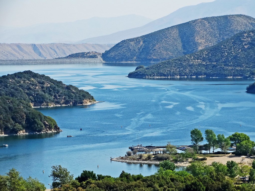
Silverwood Lake
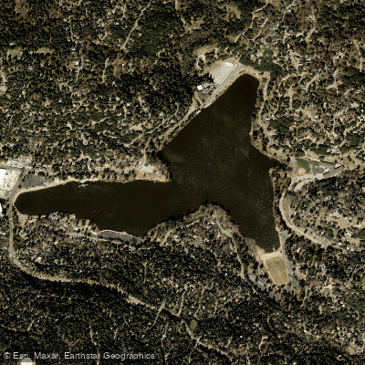
Lake Gregory
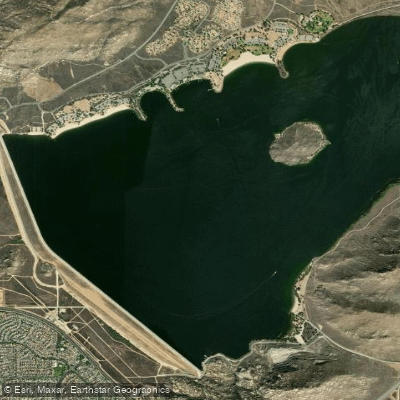
Perris Reservoir
Moon Lake
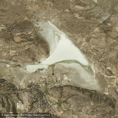
Baldwin Lake
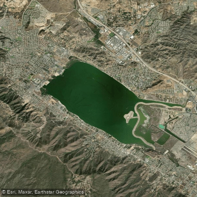
Lake Elsinore
Explore California waters
Top paddling waters
Popular Cities
Loading popular cities...
Explore near Deep Creek
Access points
- Deep Creek San Bernardino County Access
- Pacific Crest Scenic Trail Access
- Devils Hole South Bacon Flats Access
- Deep Creek Bridge
- Deep Creek Bridge
- Crab Creek Bridge
- Mojave River Bridge
- Fishermans Group Campground
- Fisherman's Group Campground
- Keller Peak Yellow Post #1 Campground
- Keller Peak Yellow Post #2 Campground
- Keller Peak Yellow Post #6 Campground
- All 39 spots
Nearby waters
More in California

Smarter Paddling Starts in the App.
Paddleways gives you everything you need to plan smarter, paddle better, and own every trip from first launch to takeout.