Curated by PaddleWays
RouteFlatwater
- Distance
- 5.2 mi
- Paddle time
- ~1.5 hrs
- Best for
- Canoe
- Put-in → take-out
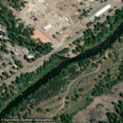
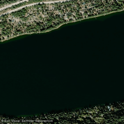
- Donner Lake Boat Ramp → Donner Creek Boat Ramp
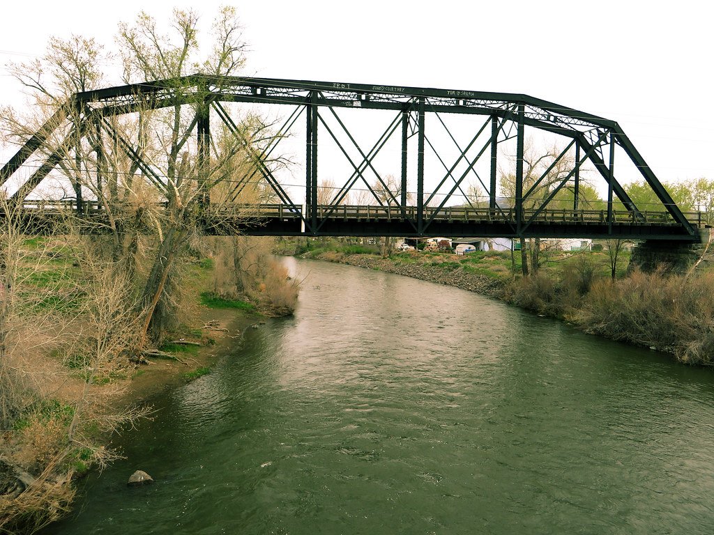
Donner Creek originates in the high Sierra Nevada near Donner Summit, flowing eastward through Placer and Nevada Counties before emptying into the Truckee River approximately 1.5 miles downstream from Donner Lake. This cold-water tributary drains a watershed of roughly 14 square miles, including contributions from Cold Creek, its largest tributary, and Summit Creek. The creek's path descends from alpine elevations through mixed conifer forests dominated by Jeffrey pine, lodgepole pine, and white fir, with riparian corridors featuring mountain alder, quaking aspen, and willows.
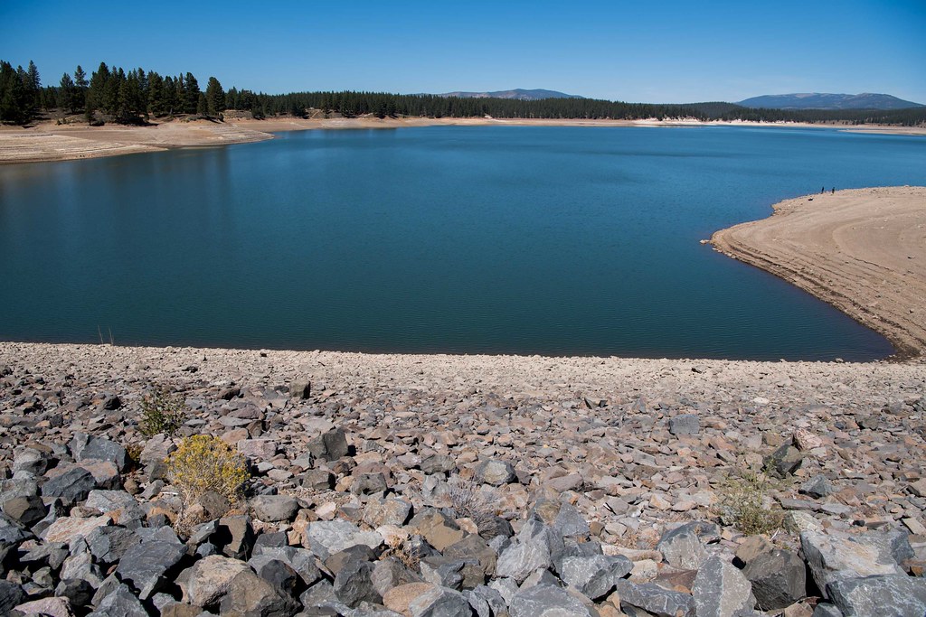
The creek flows through Donner Memorial State Park, where it passes the historic Murphy Cabin site associated with the ill-fated Donner Party of 1846-47. A controlled outlet dam at Donner Lake, constructed in 1928, regulates the creek's flow, maintaining the lake's water level for recreational and water supply purposes. The creek's gradient creates several small cascades and pools as it winds through the valley floor, with sections of exposed granite bedrock characteristic of glacially-carved Sierra terrain.
Water quality challenges have been documented since the 1970s, with sediment loading from steep, erosive hillsides north of Donner Lake contributing to downstream impacts. The creek's watershed includes areas burned by significant fires in 1960, 2003, and 2007, affecting vegetation patterns and erosion rates. Runoff from Interstate 80 infrastructure adds stormwater and associated pollutants to the system during peak flow periods.
Fish populations include brown trout, rainbow trout, and seasonal runs from Donner Lake. The creek provides critical spawning habitat when flows permit, though water diversions and seasonal fluctuations affect accessibility. Riparian zones support diverse birdlife including yellow warblers, Cooper's hawks, and osprey, while mammals such as black bears, mule deer, and American badgers utilize the corridor.
Access points exist within Donner Memorial State Park, where the Nature Trail and Donner Creek Trail provide streamside hiking opportunities. The park's campground areas sit adjacent to the creek, offering close proximity for visitors. Donner Pass Road parallels portions of the upper watershed, while Coldstream Valley Road provides access to tributary drainages.
The creek holds profound historical significance as part of the route traveled by overland emigrants crossing the Sierra Nevada between 1844 and 1925. Segments of the California Emigrant Trail remain visible within the park boundaries. The Washoe people utilized this watershed for thousands of years before Euro-American settlement, with archaeological evidence dating back over 4,000 years.
Paddling opportunities on Donner Creek itself are extremely limited due to shallow depths, narrow channels, and numerous obstacles. The creek functions primarily as a scenic and ecological feature rather than a navigable waterway.
Curated routes
Hand-picked by the PaddleWays team, with put-ins, take-outs, paddle times and the hazards along the way.
RouteFlatwater
Hazards
No paddler has reported a hazard here yet, so these are the dams, falls and big rapids on our map. Hazards change with flows and storms, so check them before you launch.
From the community
Nobody has shared a trip on Donner Creek yet. Paddle it, then tell the next paddler how it went.
See exactly where the public can get on and off the river. Launch points and boat ramps are paired with PaddleWays' public land data so you know where you can legally land.
Public shoreline
40%of the river's shoreline is public
Most of the riverbank is private. Launch, land and camp only at public access points.
Flows, weather and a route-by-route verdict, so you know which stretch of the Donner Creek is worth paddling today.
All Flow Stations
Live flows, marked hazards and fresh trip reports from paddlers who were just on the water, all in one place.





Every user gets free access to launch points, boat ramps, and public property parcels.
Loading popular cities...
PaddleWays gives you everything you need to plan smarter, paddle better, and own every trip from first launch to takeout.