South Yuba River
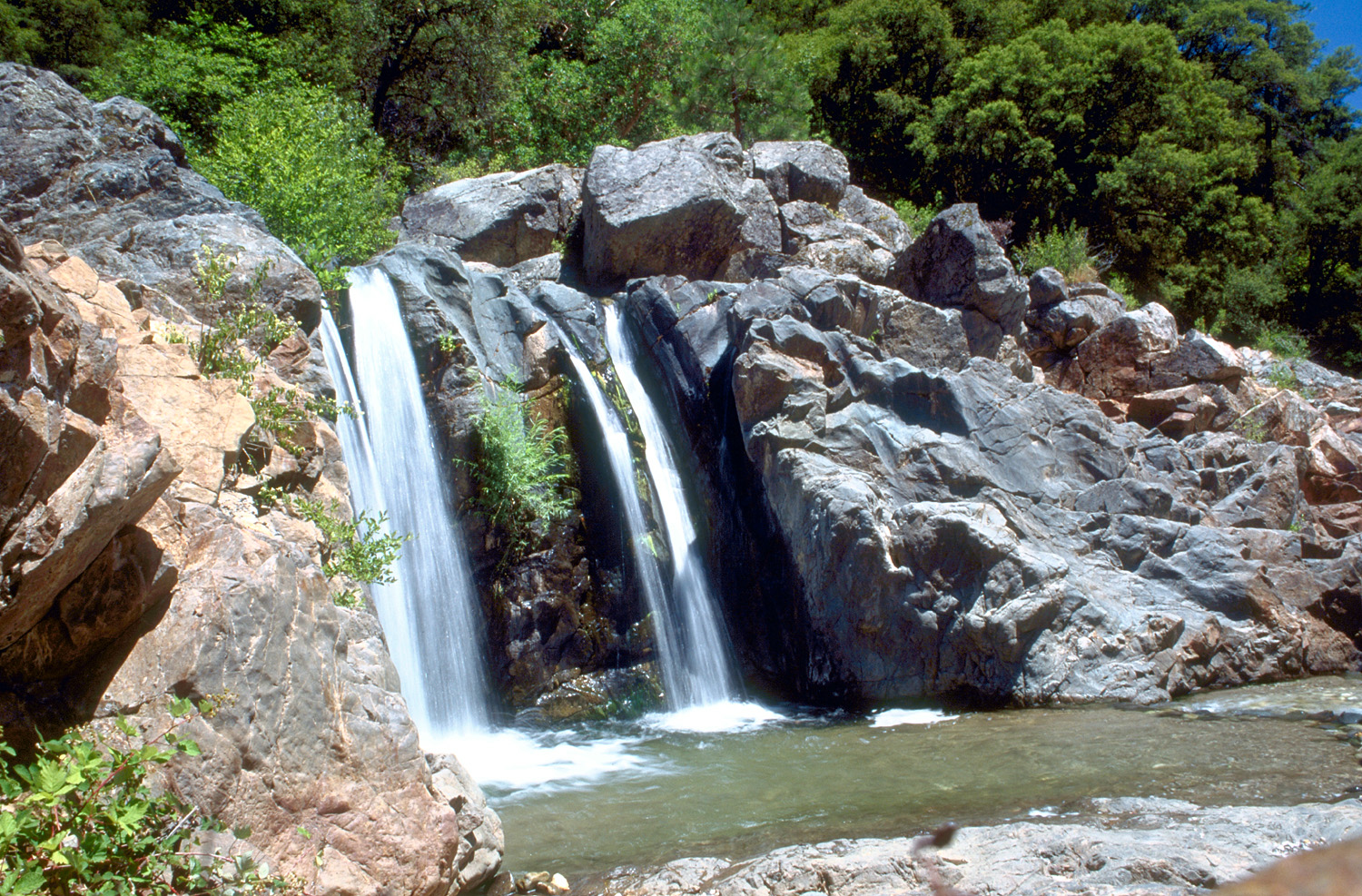
South Yuba River
- Boat Ramps
- 0
- Access Points
- 2
- Campsites
- 37
The South Yuba River is a scenic and challenging waterway in Northern California, originating in the Sierra Nevada mountains and flowing westward to join the Feather River system. This river, along with its North and Middle Fork counterparts, forms a significant watershed in Nevada County. The South Yuba offers a variety of paddling opportunities, ranging from intermediate to expert-level whitewater.
The river is divided into several distinct sections, each with its own character and difficulty. Notable runs include the challenging 4-5 mile 49 to Bridgeport section (Class IV-V), the scenic 14-mile Washington to Edwards stretch (Class IV-V), and the popular 4-mile Edwards to Purdons run (Class IV). Overall, the South Yuba presents a difficulty range of Class II to V, with most popular sections falling in the Class IV to V range. Solid whitewater skills and experience are essential for most runs, with some sections requiring expert-level abilities.
The best paddling season typically runs from late spring through early summer, depending on snowmelt and rainfall. Water levels can fluctuate rapidly, so checking current flow data is crucial before any trip. The river flows through a beautiful landscape of pine forests and granite canyons, offering paddlers stunning scenery alongside thrilling whitewater. Wildlife in the area includes various bird species, deer, and occasionally black bears.
Key landmarks include the historic towns of Washington and Bridgeport, as well as the Edwards and Purdons Crossing bridges. The river passes through South Yuba River State Park, which offers additional recreational opportunities. Primary access points are located near Nevada City, with put-ins and take-outs at Route 49, Washington, Edwards Crossing, and Purdons Crossing. These locations are relatively close to Nevada City and Grass Valley.
Historically, the South Yuba played a significant role in California's Gold Rush era, with remnants of mining operations still visible along some stretches.
Safety considerations are paramount on the South Yuba. Many sections contain dangerous rapids with undercut rocks and powerful hydraulics. Scouting is often necessary, and there are several mandatory portages on the more difficult runs. Paddlers should be prepared for remote conditions and self-rescue scenarios.
While most runs on the South Yuba are typically done as day trips, the 14-mile Washington to Edwards section can be extended into a multi-day adventure for those seeking a more immersive river experience.
The South Yuba River stands out as one of California's premier whitewater destinations, offering a perfect blend of challenging rapids and breathtaking Sierra Nevada scenery for skilled paddlers.
Water access, boat ramps & amenities
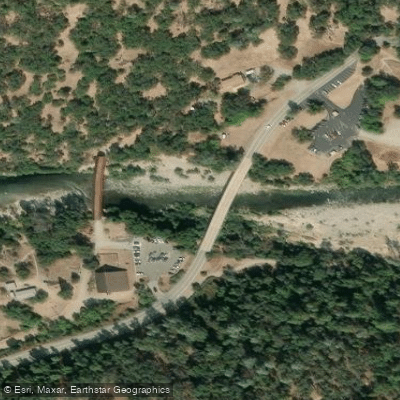
Learn how to get on South Yuba River. Uncover great paddling access points, boat ramps, and all the facilities you need for an unforgettable day on the water. Some locations shown may border or include private property. Always check property boundaries and applicable regulations before visiting. PaddleWays's Public & Private Land layer can help you plan your access with confidence.
Paddle smarter with real-time insights
Whether you're en route and conditions shift or you're looking for the best spot based on current flows, we enable you to make informed decisions on the fly.








Find Places to Paddle

Over 400,000 Places to Paddle
Every user gets free access to launch points, boat ramps, and public property parcels.


Water and weather conditions (10 day forecast)
See the best times to paddle South Yuba River and check the forecast before you go.
YUBA RIVER AT JONES BAR
All Flow Stations
Paddling near South Yuba River
Feather River
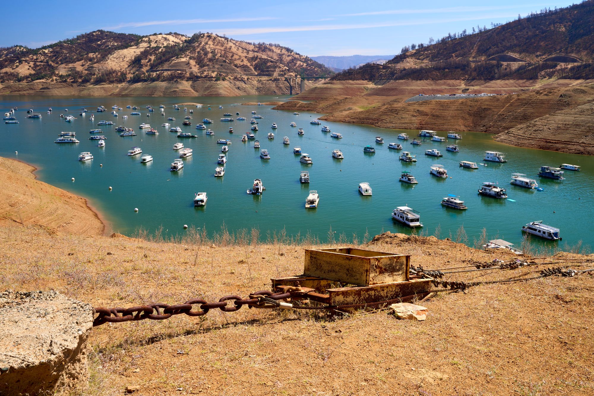
Lake Oroville
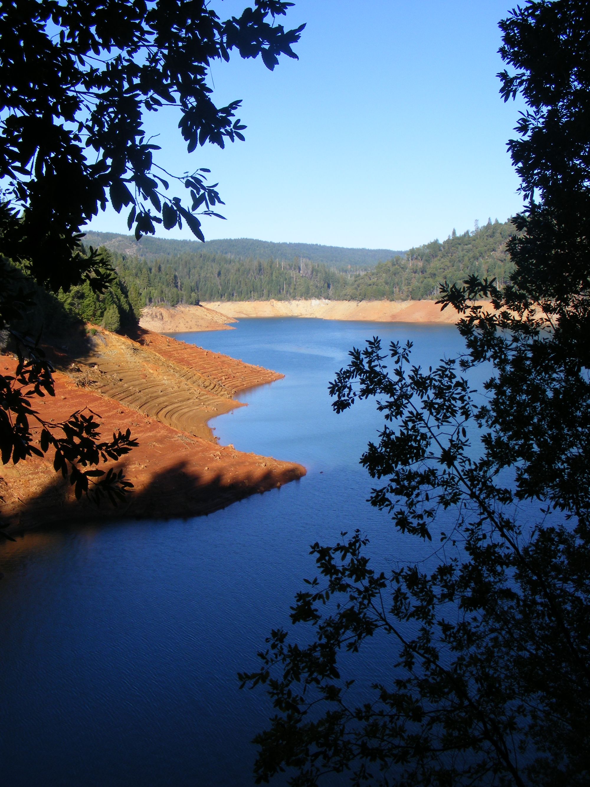
New Bullards Bar Reservoir

Sacramento River
North Yuba River
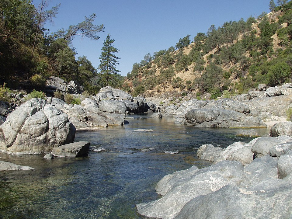
Yuba River

North Fork American River
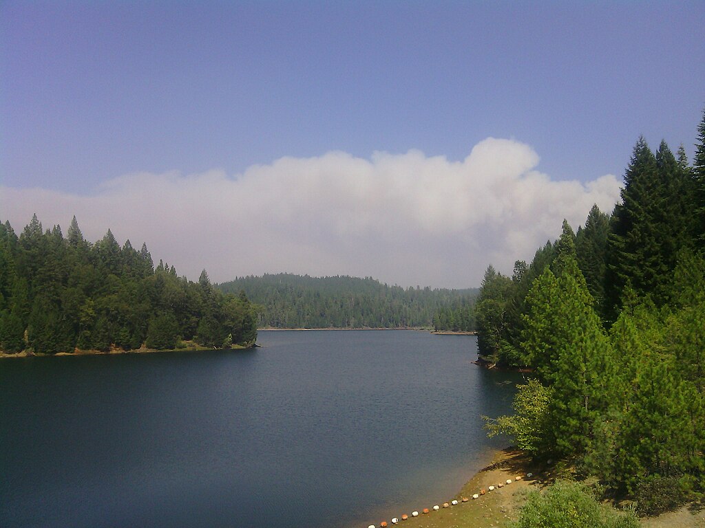
Sugar Pine Reservoir
Bucks Creek
Explore California waters
Top paddling waters
Popular Cities
Loading popular cities...
Explore near South Yuba River
Access points
- South Yuba River State Park Boat Ramp
- Spaulding Reservoir Access
- South Yuba River Bridge
- South Yuba River Bridge
- South Yuba River Bridge
- South Yuba River Bridge
- South Yuba River Bridge
- South Yuba River Bridge
- South Yuba River Bridge
- Hampshire Rocks S Yuba R Bridge
- South Yuba River Bridge
- South Yuba River Bridge
- All 65 spots
Nearby waters
More in California

Smarter Paddling Starts in the App.
Paddleways gives you everything you need to plan smarter, paddle better, and own every trip from first launch to takeout.