Dorothy Lake
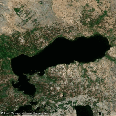
Dorothy Lake
- Boat Ramps
- 0
- Access Points
- 0
- Campsites
- 0
Dorothy Lake is a high alpine lake located in Inyo National Forest in the Sierra Nevada, positioned near the boundary between Tuolumne and Mono Counties, California. Situated at approximately 9,600 feet elevation, this remote backcountry lake offers pristine wilderness paddling for those willing to make the challenging trek to reach it.
Access to Dorothy Lake requires a significant backpacking commitment. The most common approach is via the Dorothy Lake Trail from the Mono Village area near Bridgeport, which involves a steep 5-6 mile hike with substantial elevation gain. This is a true wilderness destination with no developed facilities or services. Paddlers must pack in all equipment, including lightweight kayaks or packrafts suitable for alpine conditions.
The lake sits in a dramatic granite cirque surrounded by rugged peaks and rocky slopes characteristic of the High Sierra. The water is exceptionally clear and cold, fed by snowmelt throughout much of the summer season. Early season visitors (June-July) may encounter snow patches around the shoreline and significantly higher water levels, while late summer provides more stable conditions but potentially lower water levels.
Weather in this alpine environment can change rapidly. Afternoon thunderstorms are common in summer months, and temperatures drop quickly at elevation. Morning paddling often provides the calmest conditions, with winds typically picking up by afternoon. The exposed nature of the lake means paddlers should be prepared for potentially rough water and have appropriate cold-water safety gear.
Wildlife viewing opportunities include marmots along the rocky shores, occasional deer, and various alpine bird species. The stark beauty of the surrounding landscape, combined with the remote wilderness setting, creates a memorable paddling experience for those prepared for the physical demands and environmental conditions of high-elevation Sierra Nevada lakes.
Due to the remote location and elevation, the practical paddling season is limited to approximately July through early October, depending on annual snowpack conditions.
Water access, boat ramps & amenities
Learn how to get on Dorothy Lake. Uncover great paddling access points, boat ramps, and all the facilities you need for an unforgettable day on the water. Some locations shown may border or include private property. Always check property boundaries and applicable regulations before visiting. PaddleWays's Public & Private Land layer can help you plan your access with confidence.
Paddle smarter with real-time insights
Whether you're en route and conditions shift or you're looking for the best spot based on current flows, we enable you to make informed decisions on the fly.








Find Places to Paddle

Over 400,000 Places to Paddle
Every user gets free access to launch points, boat ramps, and public property parcels.


Water and weather conditions (10 day forecast)
See the best times to paddle Dorothy Lake and check the forecast before you go.
No forecast data available.
Paddling near Dorothy Lake

Tuolumne River

Merced River
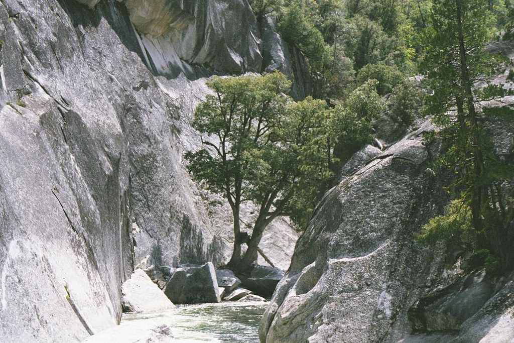
Middle Fork San Joaquin River

San Joaquin River
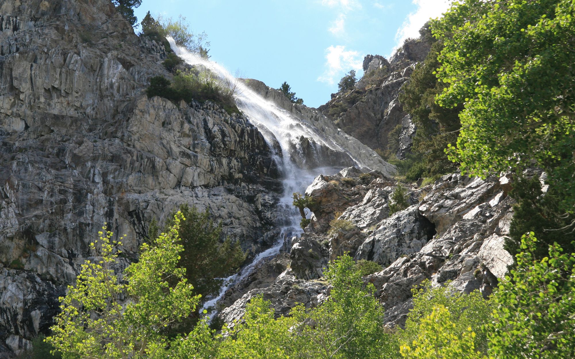
Rush Creek
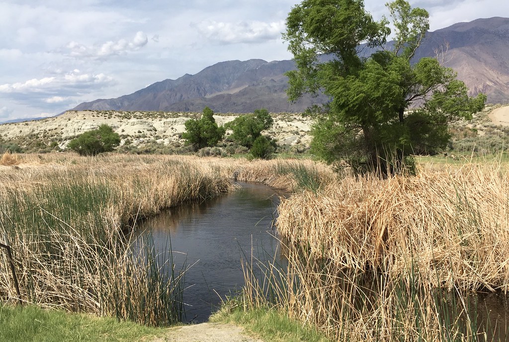
Owens River
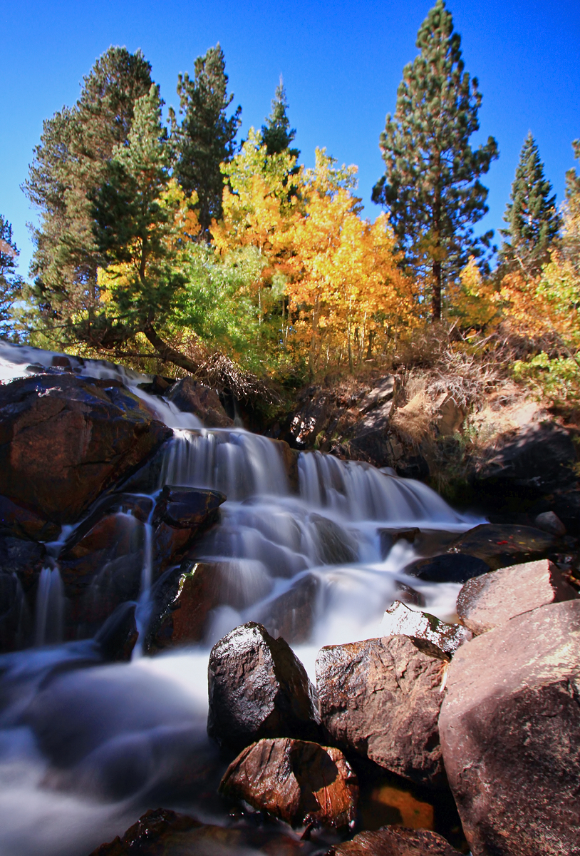
Lee Vining Creek
East Walker River
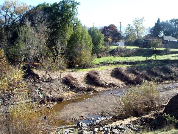
Robinson Creek
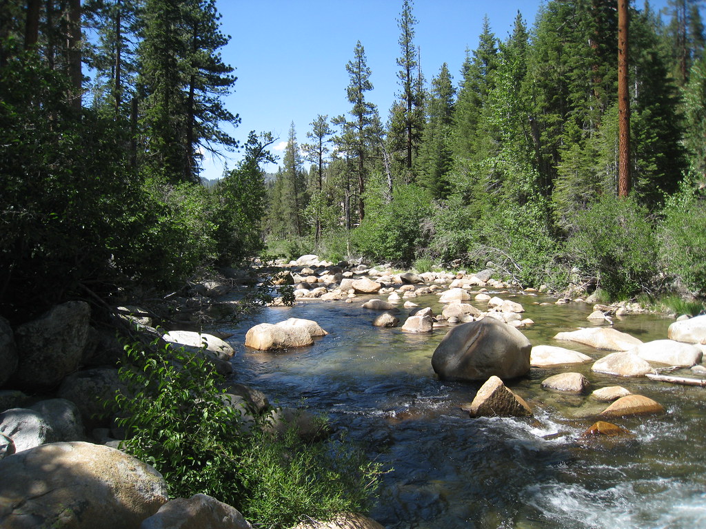
South Fork San Joaquin River
Explore California waters
Top paddling waters
Popular Cities
Loading popular cities...
Explore near Dorothy Lake

Smarter Paddling Starts in the App.
Paddleways gives you everything you need to plan smarter, paddle better, and own every trip from first launch to takeout.