Fish Creek
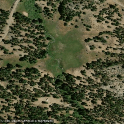
Fish Creek
- Boat Ramps
- 0
- Access Points
- 1
- Campsites
- 3
Fish Creek flows through the high country of Tulare County, California, within Sequoia National Forest, originating in the Golden Trout Wilderness at elevations above 9,000 feet. This tributary of the South Fork Kern River descends through remote backcountry characterized by granite formations, alpine meadows, and conifer forests typical of the southern Sierra Nevada. The creek flows generally westward through a landscape shaped by glacial activity, with its watershed encompassing steep canyon walls and open mountain valleys.
The creek is renowned primarily as a destination for backcountry fishing rather than paddling. Its remote headwaters near Kennedy Meadows support populations of California golden trout, the state fish, along with rainbow and brown trout in lower reaches. Access requires significant hiking from trailheads near Kennedy Meadows, with trails crossing the creek at various points including near Troy Meadows at approximately 7,800 feet elevation.
The area features dispersed camping opportunities, with primitive sites located along the creek corridor offering creek access and forested settings at elevations around 7,000-7,400 feet. The Kennedy Meadows region serves as the primary access point, located at the eastern edge of Tulare County where the Kern Plateau meets the Sierra crest. This area sits at the junction of multiple wilderness areas and provides the gateway for backcountry exploration. The South Fork Kern River, which Fish Creek feeds, flows through one of the deepest canyons in North America, with elevations dropping from over 10,000 feet to below 3,000 feet within a relatively short distance.
Wildlife in the Fish Creek watershed includes black bears, mule deer, mountain lions, and various raptors. The high-elevation environment supports species adapted to the harsh Sierra winters and short growing seasons. Vegetation transitions from sagebrush and Jeffrey pine at lower elevations to lodgepole pine, red fir, and whitebark pine at higher elevations, with riparian zones featuring willows and alders.
Seasonal access is limited by snowpack, with the area typically accessible from late May through October, though conditions vary annually. Summer temperatures at these elevations remain moderate, with cool nights even in July and August. Fire restrictions commonly apply during dry periods, and wilderness permits are required for overnight stays in the Golden Trout Wilderness. The remote nature of the area demands self-sufficiency, proper food storage to prevent bear encounters, and awareness of rapidly changing mountain weather conditions. The nearest services are in Kernville, approximately 40 miles southwest via mountain roads.
Water access, boat ramps & amenities
Learn how to get on Fish Creek. Uncover great paddling access points, boat ramps, and all the facilities you need for an unforgettable day on the water. Some locations shown may border or include private property. Always check property boundaries and applicable regulations before visiting. PaddleWays's Public & Private Land layer can help you plan your access with confidence.
Paddle smarter with real-time insights
Whether you're en route and conditions shift or you're looking for the best spot based on current flows, we enable you to make informed decisions on the fly.








Find Places to Paddle

Over 400,000 Places to Paddle
Every user gets free access to launch points, boat ramps, and public property parcels.


Water and weather conditions (10 day forecast)
See the best times to paddle Fish Creek and check the forecast before you go.
No forecast data available.
Paddling near Fish Creek
Owens River
Kern River
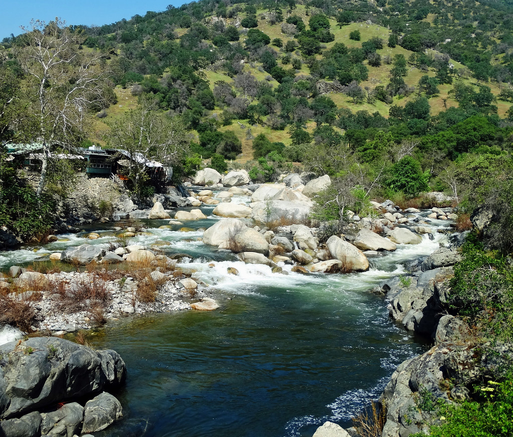
Kaweah River
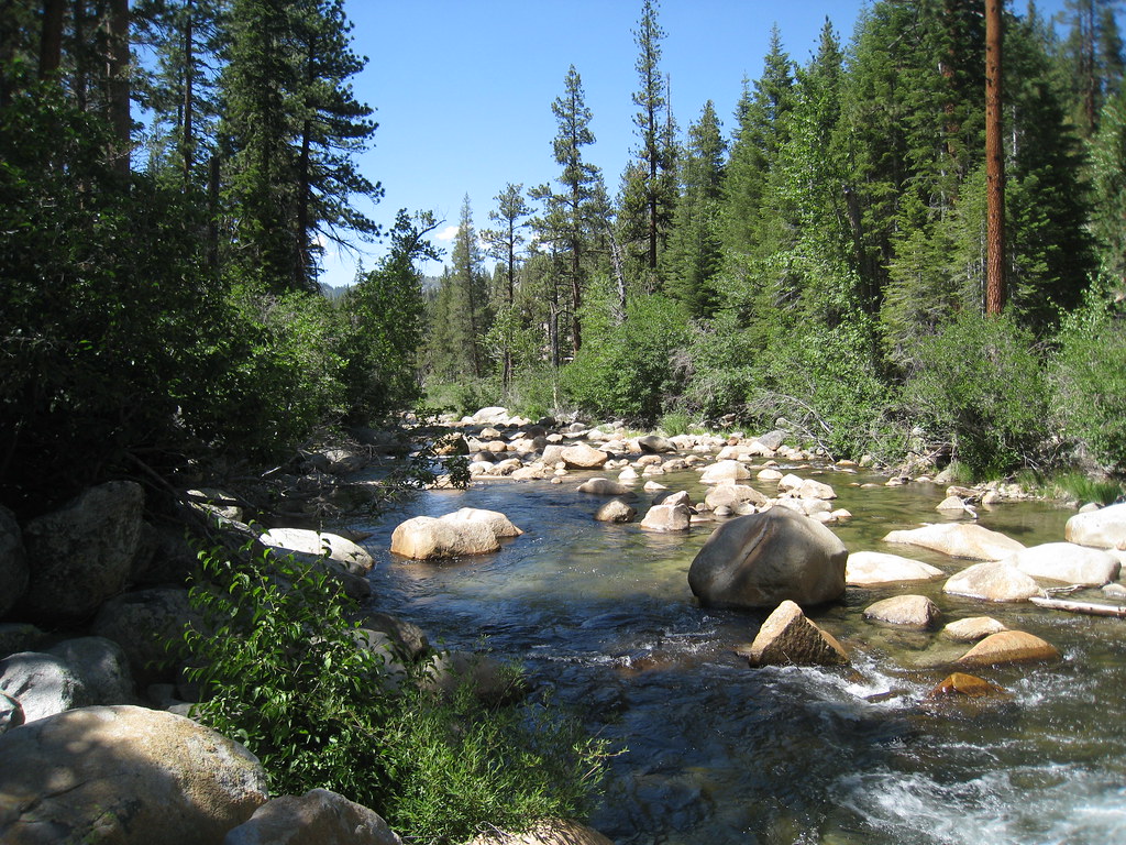
South Fork San Joaquin River
South Fork Bishop Creek
South Fork Kern River
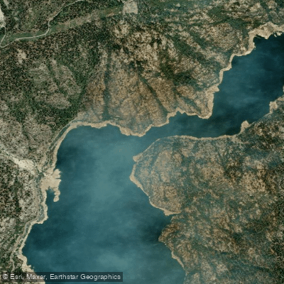
North Fork Kings River
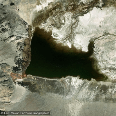
Salt Lake
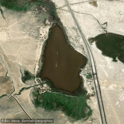
Diaz Lake
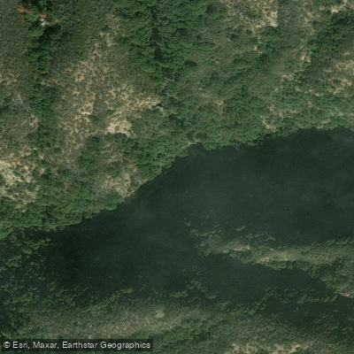
East Fork Kaweah River
Explore California waters
Top paddling waters
Popular Cities
Loading popular cities...
Explore near Fish Creek
Access points
Nearby waters
More in California

Smarter Paddling Starts in the App.
Paddleways gives you everything you need to plan smarter, paddle better, and own every trip from first launch to takeout.