Honker Bay
- Saltwater
- Bay
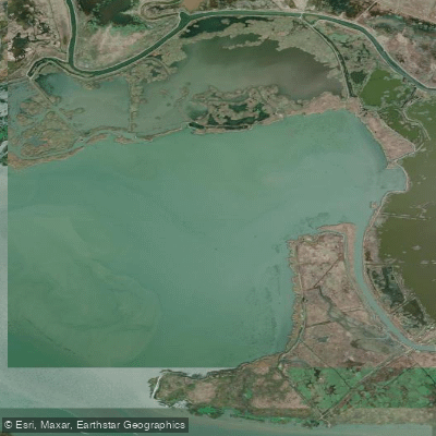
Honker Bay
- Saltwater
- Bay
- Sq. miles
- 2.2
- Boat Ramps
- 0
- Access Points
- 0
- Campsites
- 0
Honker Bay is a sheltered cove on the western shore of Lake Barkley, a large freshwater impoundment of the Cumberland River within the Land Between the Lakes National Recreation Area in Lyon County, Kentucky. The primary access point is the Honker Bay Boat Ramp, a paved, single-lane ramp located off Road 138. This facility provides free, 24-hour access year-round, though paddlers should be aware of seasonal closures for wildlife protection. Parking consists of approximately 10 gravel spaces, and early arrival is recommended on weekends. The ramp sits within a protected inlet, which typically offers calm, flat water even when the main body of Lake Barkley is rough, making this a suitable location for beginner paddlers. There is no significant river current to contend with, but wind and weather on the larger lake can create hazardous conditions, so checking the forecast is essential.
A key consideration for trip planning is the seasonal water access closure. The area from the boat ramp south to the northernmost end of Bobcat Point is closed to all water access from November 1 through March 15 as it is part of a wildlife refuge. The area extending further south from Bobcat Point to Empire Point is closed from November 1 through February 15. Outside these periods, a recommended day trip is to paddle south from the launch for 5.1 miles, rounding Bobcat Point and Empire Point to reach the Taylor Bay access point; this journey typically takes about two and a half hours. The shoreline is heavily wooded, and wildlife viewing is a major attraction. From April through August, osprey are commonly seen, and bald eagles, double-crested cormorants, wood ducks, and egrets are present throughout the year. The bay offers a quiet, remote paddling experience with views of the forested Land Between the Lakes peninsula. Facilities are limited to the boat ramp and parking; there is no camping permitted at the access point, and cell service is limited.
Water access, boat ramps & amenities
Learn how to get on Honker Bay. Uncover great paddling access points, boat ramps, and all the facilities you need for an unforgettable day on the water. Some locations shown may border or include private property. Always check property boundaries and applicable regulations before visiting. PaddleWays's Public & Private Land layer can help you plan your access with confidence.

Contra Costa Canal Bridge

Contra Costa Canal Bridge
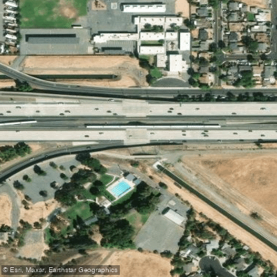
Contra Costa Canal Bridge
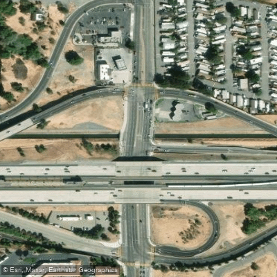
Contra Costa Canal Bridge
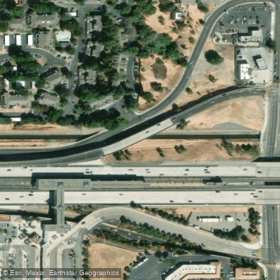
Contra Costa Canal Bridge
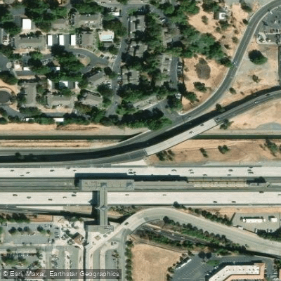
Contra Costa Canal Bridge
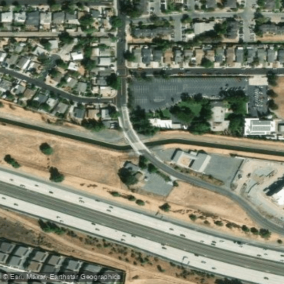
Contra Costa Canal Bridge
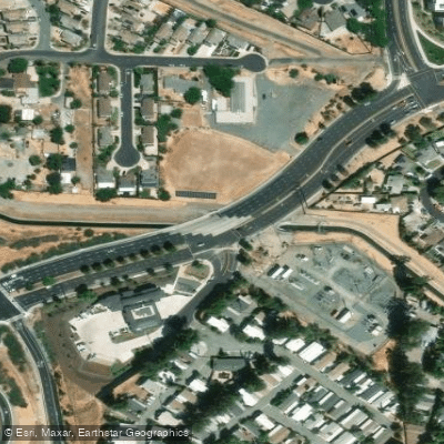
Contra Costa Canal Bridge
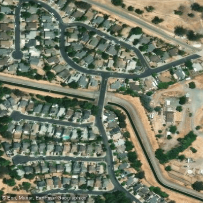
Contra Costa Canal Bridge
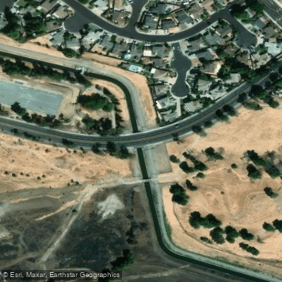
Contra Costa Canal Bridge
Paddle smarter with real-time insights
Whether you're en route and conditions shift or you're looking for the best spot based on current flows, we enable you to make informed decisions on the fly.








Find Places to Paddle

Over 400,000 Places to Paddle
Every user gets free access to launch points, boat ramps, and public property parcels.


Tides, wind & water conditions (10 day forecast)
On open water, wind and tide matter as much as the weather. See the best times to paddle Honker Bay and check the marine forecast before you launch.
Loading tide predictions…
Paddling near Honker Bay

San Joaquin River

Sacramento River

San Pablo Bay

Mokelumne River

American River

Stanislaus River

Tuolumne River
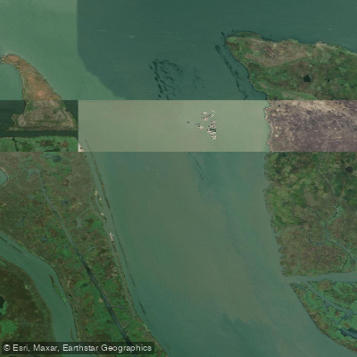
Broad Slough
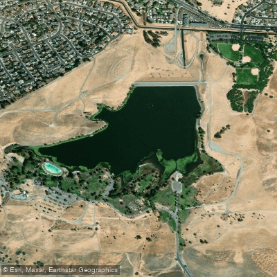
Contra Loma Reservoir
Explore California waters
Top paddling waters
Popular Cities
Loading popular cities...
Explore near Honker Bay
Access points
- Contra Costa Canal Bridge
- Contra Costa Canal Bridge
- Contra Costa Canal Bridge
- Contra Costa Canal Bridge
- Contra Costa Canal Bridge
- Contra Costa Canal Bridge
- Contra Costa Canal Bridge
- Contra Costa Canal Bridge
- Contra Costa Canal Bridge
- Contra Costa Canal Bridge
- Contra Costa Canal Bridge
- Contra Costa Canal Bridge
- All 17 spots
Nearby waters
More in California

Smarter Paddling Starts in the App.
Paddleways gives you everything you need to plan smarter, paddle better, and own every trip from first launch to takeout.