Lake Davis
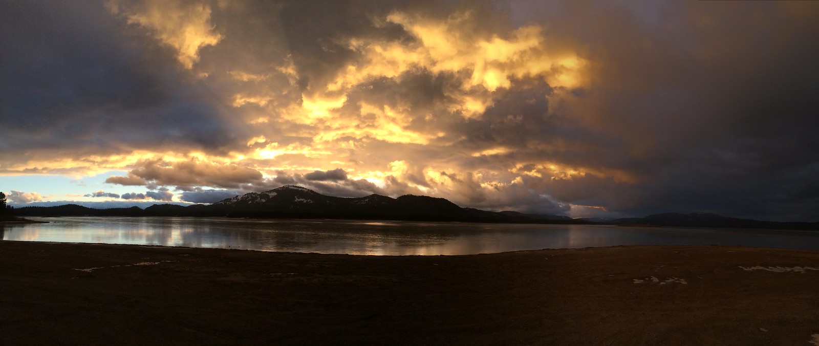
Lake Davis
- Boat Ramps
- 4
- Access Points
- 5
- Campsites
- 7
Lake Davis is a scenic 4,000-acre reservoir located in the Plumas National Forest, about 7 miles north of Portola, California. With 32 miles of shoreline at an elevation of 5,800 feet, it offers paddlers a peaceful mountain lake experience. The lake features numerous coves and inlets with sandy beaches, providing ample opportunities for exploration and rest stops.
Four boat launch locations allow paddlers to access different sections of the lake. The average depth is 21 feet, with a maximum depth of 108 feet. A 110-foot wheelchair-accessible fishing levee is available for those with mobility limitations.
Lake Davis is known for its excellent trout fishing, with healthy populations of rainbow and brown trout. The nutrient-rich waters support abundant insect life, attracting various waterfowl and making it a popular spot for birding. Wildlife viewing opportunities include black bears, deer, coyotes, foxes, and bobcats.
The surrounding forested landscape provides a picturesque backdrop for paddling. Spring brings vibrant wildflower displays, including purple camas, larkspur, and yellow meadow buttercups. The Lake Davis Trail follows much of the shoreline, offering additional recreational opportunities.
Paddlers should note that motorized water sports like water skiing and jet skis are not permitted, contributing to the lake's tranquil atmosphere. The lake is accessible year-round, with spring and early summer considered the best times for paddling and fishing. In winter, the area transforms into a snowy wonderland suitable for cross-country skiing and snowshoeing.
Four campgrounds around the lake offer a mix of reservable and first-come, first-served sites. The lake's location and amenities make it suitable for paddlers of all skill levels seeking a serene mountain lake experience.
Water access, boat ramps & amenities
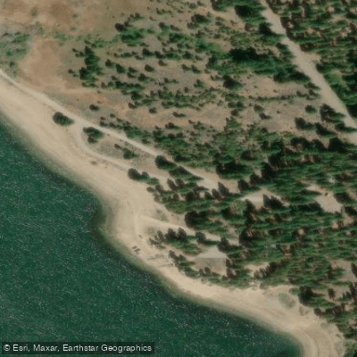
Learn how to get on Lake Davis. Uncover great paddling access points, boat ramps, and all the facilities you need for an unforgettable day on the water. Some locations shown may border or include private property. Always check property boundaries and applicable regulations before visiting. PaddleWays's Public & Private Land layer can help you plan your access with confidence.
Paddle smarter with real-time insights
Whether you're en route and conditions shift or you're looking for the best spot based on current flows, we enable you to make informed decisions on the fly.








Find Places to Paddle

Over 400,000 Places to Paddle
Every user gets free access to launch points, boat ramps, and public property parcels.


Water and weather conditions (10 day forecast)
See the best times to paddle Lake Davis and check the forecast before you go.
No forecast data available.
Paddling near Lake Davis
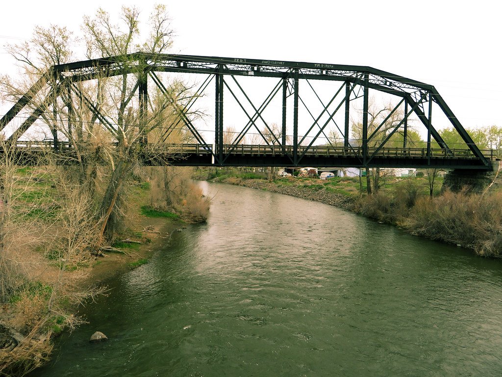
Truckee River
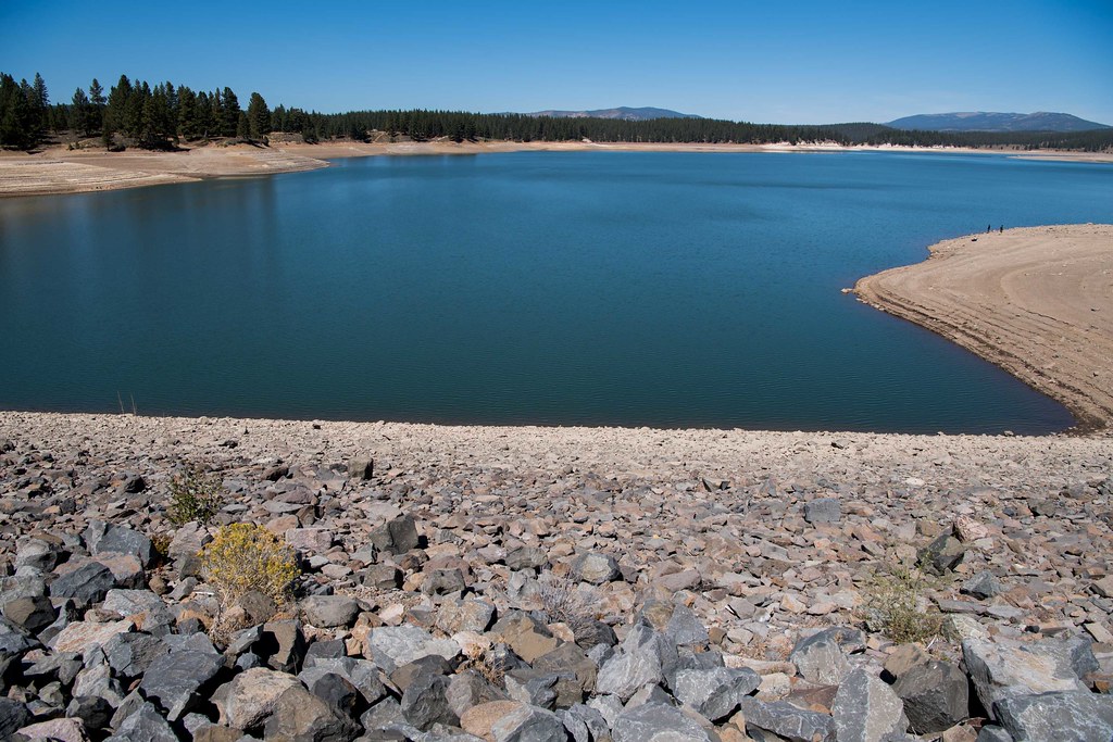
Boca Reservoir
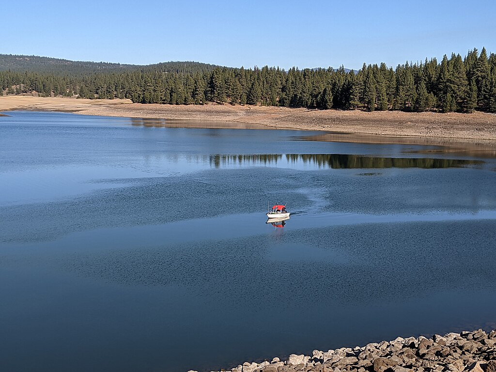
Prosser Creek Reservoir
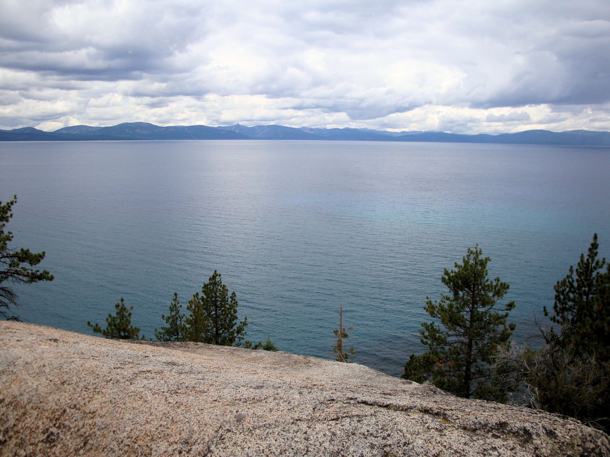
Lake Tahoe
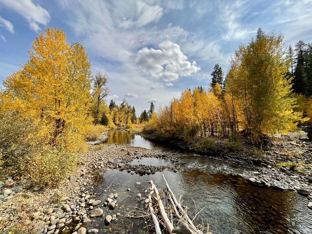
Little Truckee River
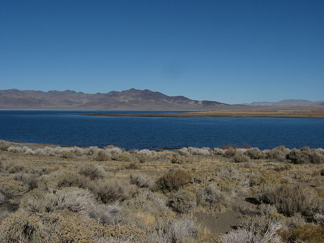
Pyramid Lake

North Fork American River
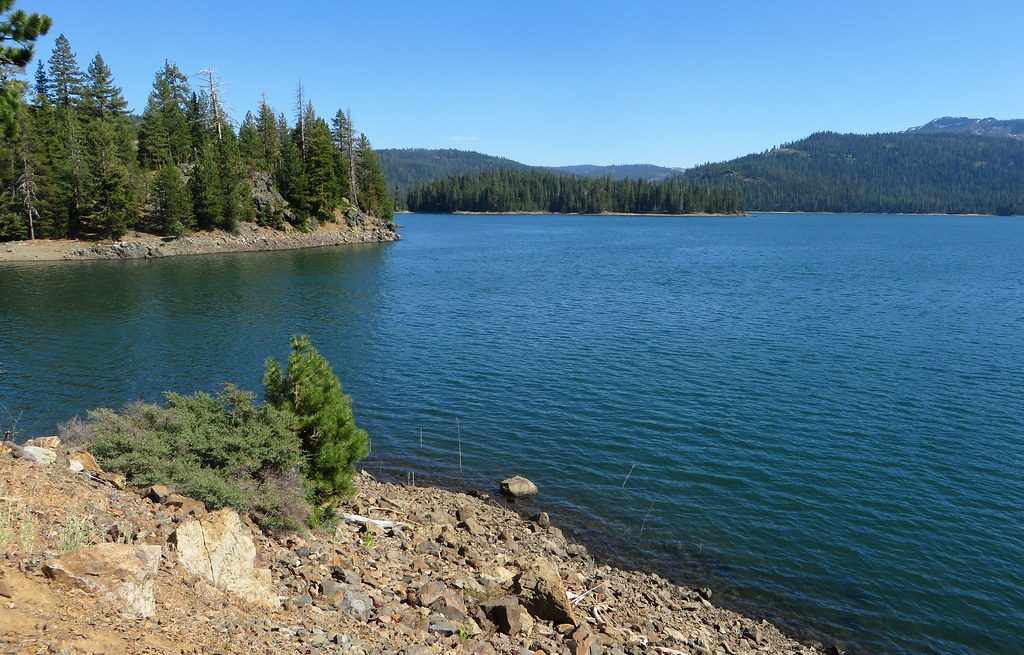
Jackson Meadows Reservoir
North Yuba River
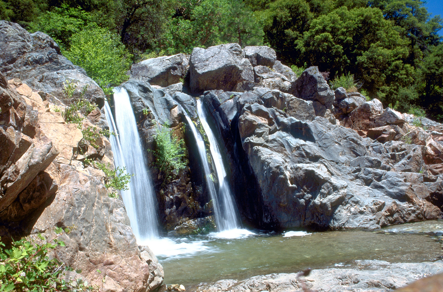
South Yuba River
Explore California waters
Top paddling waters
Popular Cities
Loading popular cities...
Explore near Lake Davis
Access points
- Lake Davis Recreation Area Boat Ramp
- Lightning Tree Boat Ramp
- Honker Cove Ramp Boat Ramp
- Lake Davis Recreation Area Boat Ramp
- Lake Davis Access
- Big Grizzly Creek Bridge
- Red Clover Creek Bridge
- Crocker Creek Bridge
- Big Grizzly Creek Bridge
- Big Grizzly Creek Bridge
- Lightning Tree Campground
- Grasshopper Flat Campground
- All 17 spots
Nearby waters
More in California

Smarter Paddling Starts in the App.
Paddleways gives you everything you need to plan smarter, paddle better, and own every trip from first launch to takeout.