Poche Beach
- Saltwater
- Beach
Poche Beach
- Saltwater
- Beach
- Sq. miles
- 0.1
- Boat Ramps
- 0
- Access Points
- 1
- Campsites
- 6
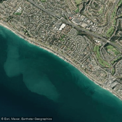
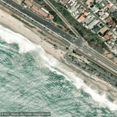
Poche Beach is a public beach located at the border of San Clemente and Dana Point's Capistrano Beach community in Orange County, California. Access to the sand is via a pedestrian underpass beneath the train tracks at the intersection of Camino Capistrano and El Camino Real, marked by a "Coastal Access" sign. Parking is limited to metered street parking along Camino Capistrano, and some nearby private lots require community stickers, making parking a noted challenge. The carry distance from the street to the water is short, but the beach is narrow. At high tide, the water reaches the back of the beach, significantly reducing the available sand and making it difficult to walk along the shore without getting wet, a factor that affects the ease of launching and landing paddlecraft. The wave character is primarily a beach break that can be inconsistent and weak under head-high conditions, breaking both left and right. On larger southwest swells, an outer reef breaks beyond the creek mouth, producing more powerful, rolling waves. The beach is known for urban runoff pollution, and the creek that flows onto the beach has been associated with high bacteria levels, prompting advisories from county health officials. There are no public facilities, restrooms, or showers at this location. Dogs are not permitted on the beach. The overall vibe is local and less crowded than other nearby beaches, with a relaxed, old-school atmosphere. The water is part of the open Pacific Ocean, and paddlers can travel north along the coast past the homes of Capistrano Beach or south along the narrow beachfront in San Clemente. The area is exposed to prevailing winds and swell from the southwest.
Water access, boat ramps & amenities
Learn how to get on Poche Beach. Uncover great paddling access points, boat ramps, and all the facilities you need for an unforgettable day on the water. Some locations shown may border or include private property. Always check property boundaries and applicable regulations before visiting. PaddleWays's Public & Private Land layer can help you plan your access with confidence.
Paddle smarter with real-time insights
Whether you're en route and conditions shift or you're looking for the best spot based on current flows, we enable you to make informed decisions on the fly.








Find Places to Paddle

Over 400,000 Places to Paddle
Every user gets free access to launch points, boat ramps, and public property parcels.


Tides, wind & water conditions (10 day forecast)
On open water, wind and tide matter as much as the weather. See the best times to paddle Poche Beach and check the marine forecast before you launch.
Loading tide predictions…
Paddling near Poche Beach
Santa Ana River
San Gabriel River
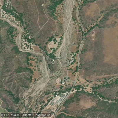
San Juan Creek
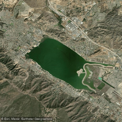
Lake Elsinore
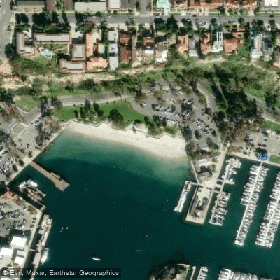
Baby Beach
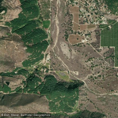
San Luis Rey River
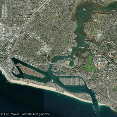
Newport Bay
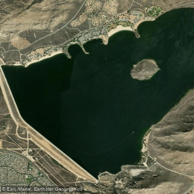
Perris Reservoir
Explore California waters
Top paddling waters
Popular Cities
Loading popular cities...
Explore near Poche Beach
Access points
Nearby waters
More in California

Smarter Paddling Starts in the App.
Paddleways gives you everything you need to plan smarter, paddle better, and own every trip from first launch to takeout.