Lake Mathews
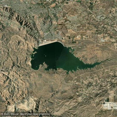
Lake Mathews
- Boat Ramps
- 0
- Access Points
- 0
- Campsites
- 0
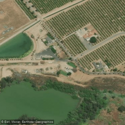
Lake Mathews is a large reservoir located in Riverside County, California, in the foothills of the Temescal Mountains. Unfortunately, the lake is completely closed to public access, including all forms of paddling or recreational use. The reservoir is fully fenced and serves as the western terminus for the Colorado River Aqueduct, providing water for the Metropolitan Water District of Southern California.
The lake is surrounded by approximately 4,000 acres of protected land designated as the Lake Mathews Ecological Reserve. An additional 9,000 acres were added to create the Lake Mathews Estelle Mountain Reserve after the discovery of the endangered Stephens's kangaroo rat in the area.
While paddling is not permitted, the lake and surrounding area serve as an important bird habitat, particularly in winter months. Notable species include double-crested cormorants, western grebes, eared grebes, golden eagles, and bald eagles. The ecological reserve helps protect this important wildlife habitat.
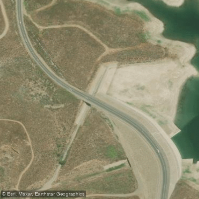
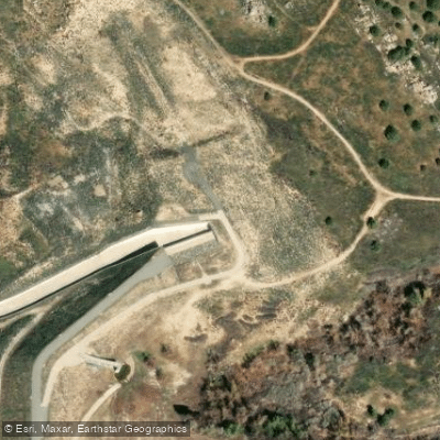
Lake Mathews has a capacity of 182,000 acre-feet and is formed by an earthfill dam across the northern side of the basin. Two smaller dams, called dikes, were added in 1961 to increase the lake's capacity. La Sierra Avenue traverses the top of the west dike.
Despite its size and potential for recreation, Lake Mathews remains strictly off-limits to paddlers and the general public due to its critical role in Southern California's water supply infrastructure. Paddlers interested in flat water experiences in the region will need to seek out alternative locations that allow public access.
Water access, boat ramps & amenities
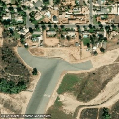
Learn how to get on Lake Mathews. Uncover great paddling access points, boat ramps, and all the facilities you need for an unforgettable day on the water. Some locations shown may border or include private property. Always check property boundaries and applicable regulations before visiting. PaddleWays's Public & Private Land layer can help you plan your access with confidence.
Paddle smarter with real-time insights
Whether you're en route and conditions shift or you're looking for the best spot based on current flows, we enable you to make informed decisions on the fly.








Find Places to Paddle

Over 400,000 Places to Paddle
Every user gets free access to launch points, boat ramps, and public property parcels.


Water and weather conditions (10 day forecast)
See the best times to paddle Lake Mathews and check the forecast before you go.
No forecast data available.
Paddling near Lake Mathews
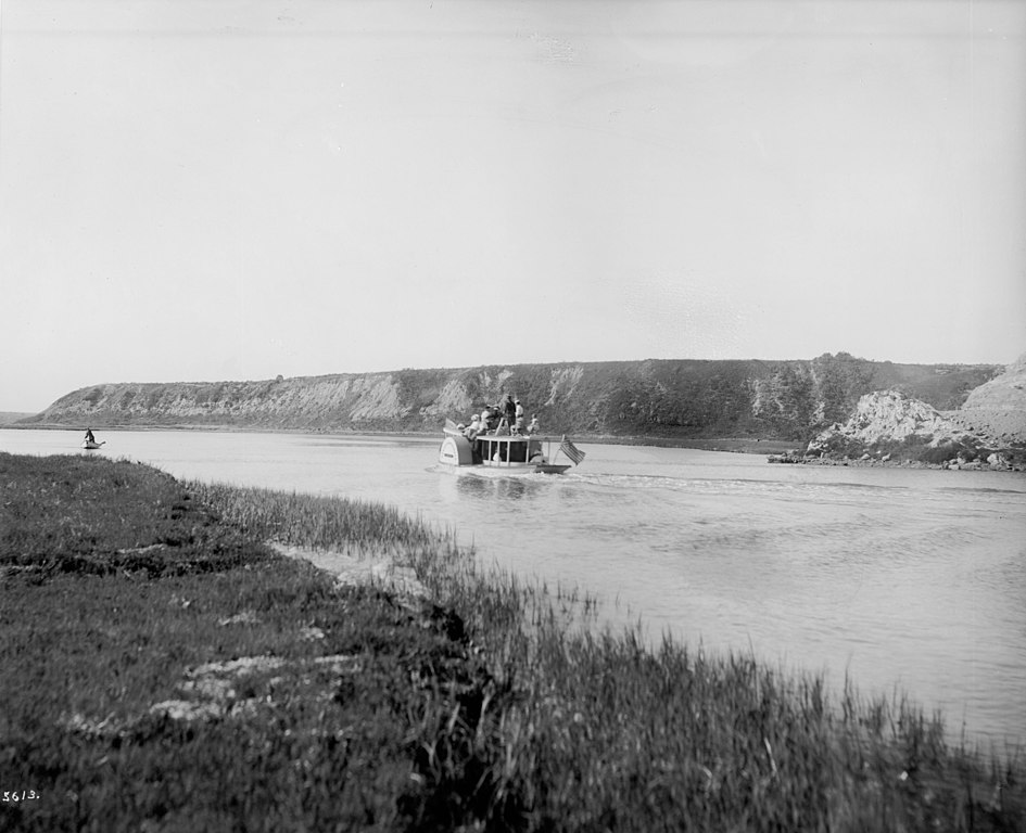
Santa Ana River
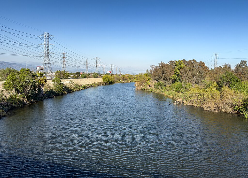
San Gabriel River
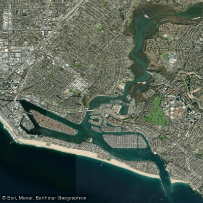
Newport Bay
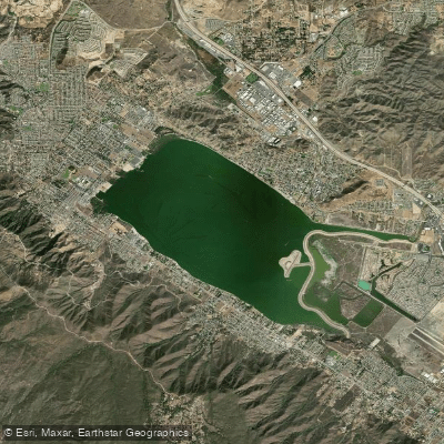
Lake Elsinore
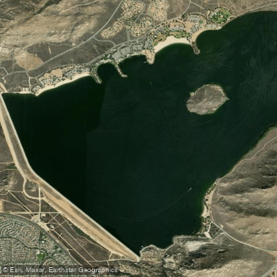
Perris Reservoir
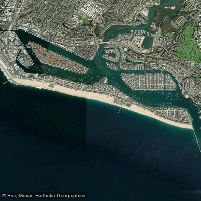
Balboa Beach
San Juan Creek
North Star Beach
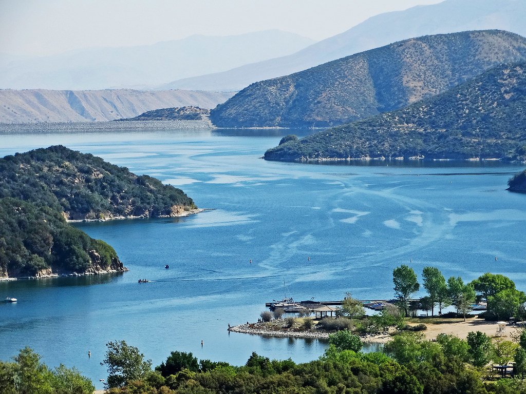
Silverwood Lake
Explore California waters
Top paddling waters
Popular Cities
Loading popular cities...
Explore near Lake Mathews
Access points
Nearby waters
More in California

Smarter Paddling Starts in the App.
Paddleways gives you everything you need to plan smarter, paddle better, and own every trip from first launch to takeout.