Leadbetter Beach
- Saltwater
- Beach
Leadbetter Beach
- Saltwater
- Beach
- Sq. miles
- 0
- Boat Ramps
- 0
- Access Points
- 1
- Campsites
- 0
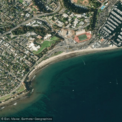
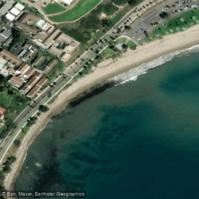
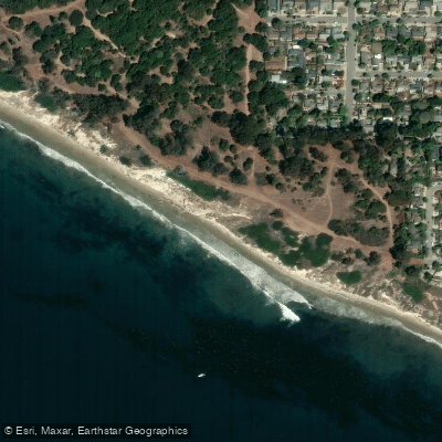
Leadbetter Beach is a broad, half-mile-long sandy beach located directly adjacent to the Santa Barbara Harbor in Santa Barbara, California. It is a popular launch site for small non-motorized craft like kayaks and stand-up paddleboards. The beach features a wide, flat expanse of sand, making for a relatively easy carry from the parking area to the water's edge. The surf here is light, gentle, and mellow, which makes it a favorite spot for beginners and for practicing surf SUP in manageable conditions. The beach is exposed, with the water described as part of a shallow cove between Santa Barbara Point and the harbor breakwater. Morning conditions are typically the calmest before afternoon winds can build. Paddlers should always check weather forecasts and be aware of winds that could blow them offshore.
From Leadbetter Beach, paddlers can easily access several notable areas. A common and protected route is to paddle east into the adjacent Santa Barbara Harbor, though paddlers must avoid the main channel, moving boats, and dredge equipment. Heading west and north along the shoreline allows for exploration of the cliffs and kelp forests near Shoreline Park, which offers aerial views of the coast and potential sightings of dolphins or whales in the distance. On calm days, it is possible to paddle from the harbor area to Leadbetter Beach to catch gentle waves. The beach is flanked by green grass and offers views of the Pacific Ocean and the Channel Islands. Amenities for paddlers include paid on-site parking, restrooms, outdoor showers, picnic areas, and the Shoreline Café located directly on the sand. A rental service, Buoy Water Club, operates a locker with paddleboard rentals at the beach. Due to its proximity to the busy harbor, paddlers must follow standard safety regulations including having a life jacket, a sound signaling device, and a light if paddling at night.
Water access, boat ramps & amenities
Learn how to get on Leadbetter Beach. Uncover great paddling access points, boat ramps, and all the facilities you need for an unforgettable day on the water. Some locations shown may border or include private property. Always check property boundaries and applicable regulations before visiting. PaddleWays's Public & Private Land layer can help you plan your access with confidence.
Paddle smarter with real-time insights
Whether you're en route and conditions shift or you're looking for the best spot based on current flows, we enable you to make informed decisions on the fly.








Find Places to Paddle

Over 400,000 Places to Paddle
Every user gets free access to launch points, boat ramps, and public property parcels.


Tides, wind & water conditions (10 day forecast)
On open water, wind and tide matter as much as the weather. See the best times to paddle Leadbetter Beach and check the marine forecast before you launch.
Loading tide predictions…

Explore California waters
Top paddling waters
Popular Cities
Loading popular cities...
Explore near Leadbetter Beach
Access points
Nearby waters
More in California

Smarter Paddling Starts in the App.
Paddleways gives you everything you need to plan smarter, paddle better, and own every trip from first launch to takeout.