Sespe Creek
Sespe Creek
- Boat Ramps
- 0
- Access Points
- 2
- Campsites
- 26
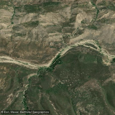
Sespe Creek is a wild and challenging waterway that flows through the rugged Los Padres National Forest in Southern California. Originating in the Santa Ynez Mountains, this undammed river runs approximately 60 miles westward before joining the Santa Clara River near Fillmore. The creek offers some of the most remote and difficult whitewater in Southern California, with 31.5 miles designated as Wild and Scenic. The main paddling section from Lion Campground to Highway 126 bridge spans 31.5 miles of Class IV-V whitewater, comparable in difficulty and beauty to Sierra Nevada rivers. Paddlers face a deep wilderness experience with steep canyon walls, massive purple boulders, and challenging rapids. The Devil's Gate section near the end is particularly notorious, featuring enormous boulder piles that often require portaging. Only expert whitewater kayakers and rafters should attempt Sespe Creek's more difficult stretches.
Flow patterns are highly seasonal. The ideal paddling window is typically brief, occurring in early spring after winter rains but before snowmelt dwindles. El Niño years may extend the season into May. Lower water levels are generally easier but still demanding.
The Sespe Wilderness provides habitat for diverse flora and fauna, including the endangered California condor. Riparian vegetation lines the banks, contrasting with the arid chaparral landscape. Notable landmarks include the impressive Piedra Blanca sandstone formation near the upper put-in.
Primary access points are Lion Campground for the upper section and various points near Fillmore for takeout. The town of Ojai serves as a gateway to the upper creek. Multi-day wilderness trips are possible, but paddlers must be self-sufficient in this remote canyon.
Historically, the Chumash people inhabited the Sespe Creek area. Today, it remains one of Southern California's last free-flowing rivers, protected within the Sespe Wilderness. Paddlers must obtain permits and follow Leave No Trace principles in this sensitive ecosystem. For those seeking an intense backcountry paddling adventure, Sespe Creek offers a rare opportunity to explore a pristine watershed that rivals the beauty and challenge of better-known Sierra rivers, all within reach of Los Angeles.
Water access, boat ramps & amenities
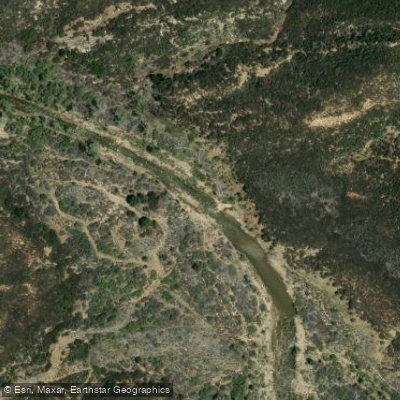
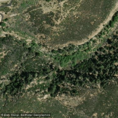
Learn how to get on Sespe Creek. Uncover great paddling access points, boat ramps, and all the facilities you need for an unforgettable day on the water. Some locations shown may border or include private property. Always check property boundaries and applicable regulations before visiting. PaddleWays's Public & Private Land layer can help you plan your access with confidence.
Paddle smarter with real-time insights
Whether you're en route and conditions shift or you're looking for the best spot based on current flows, we enable you to make informed decisions on the fly.








Find Places to Paddle

Over 400,000 Places to Paddle
Every user gets free access to launch points, boat ramps, and public property parcels.


Water and weather conditions (10 day forecast)
See the best times to paddle Sespe Creek and check the forecast before you go.
SESPE CREEK NEAR WHEELER SPRINGS CA
All Flow Stations
Paddling near Sespe Creek
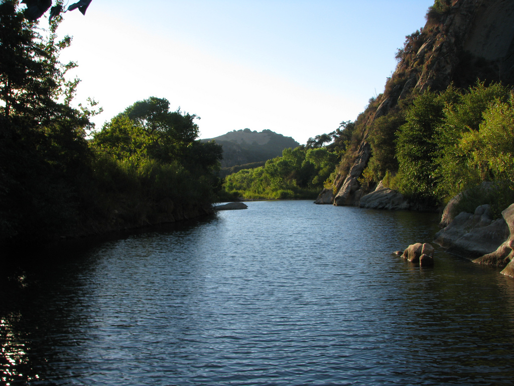
Santa Ynez River
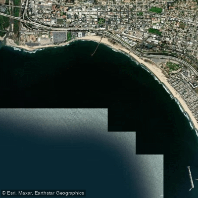
Pierpont Bay
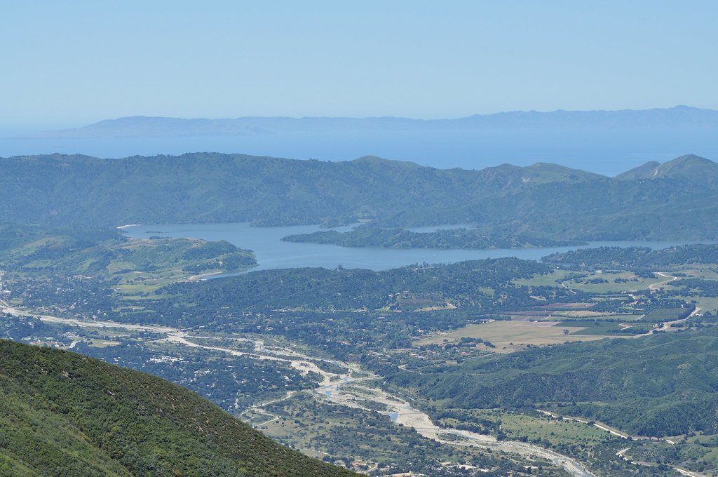
Lake Casitas

Piru Creek
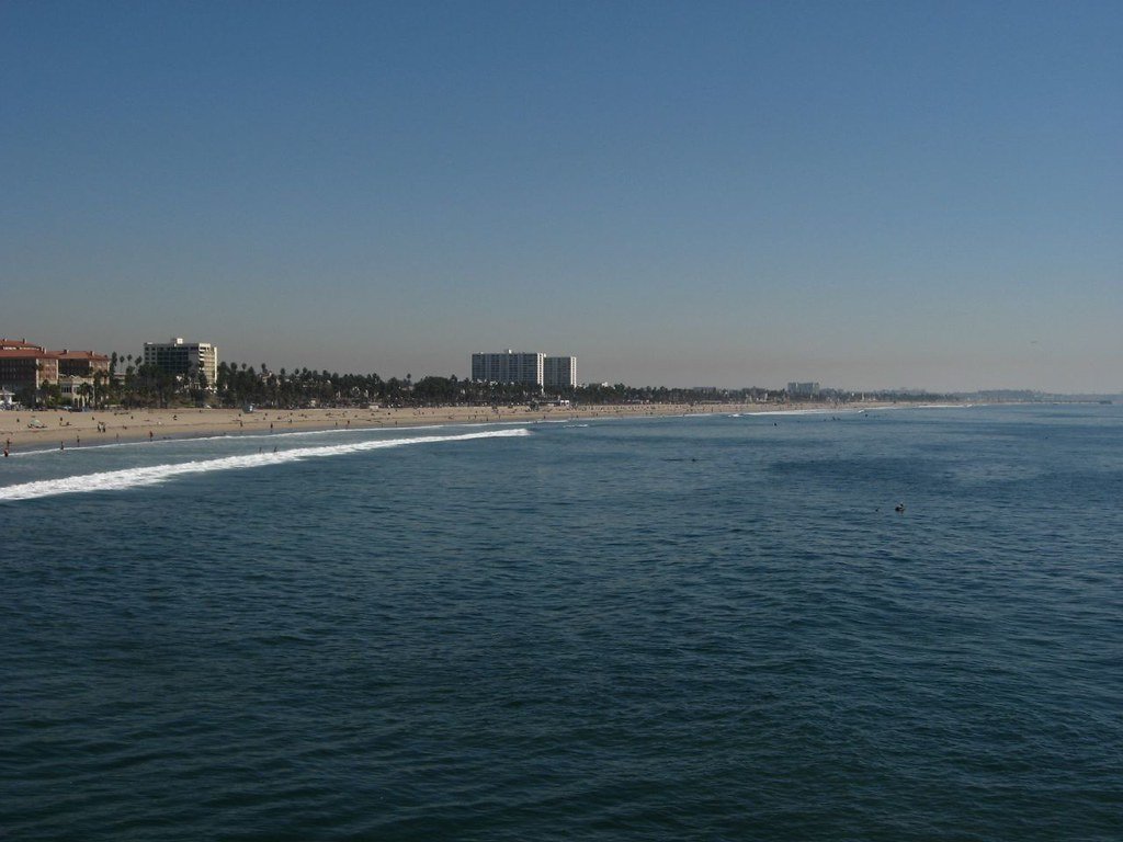
Santa Monica Bay
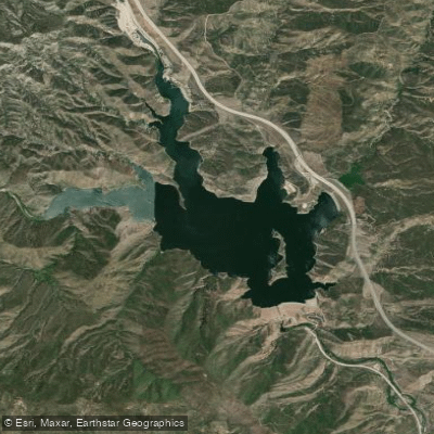
Pyramid Lake
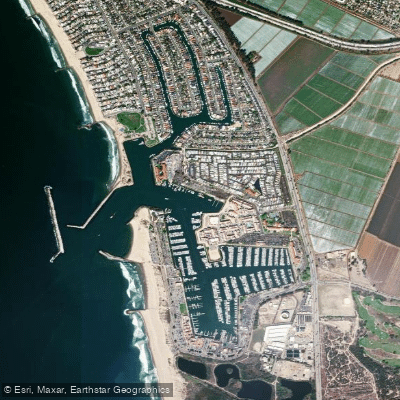
Ventura Harbor
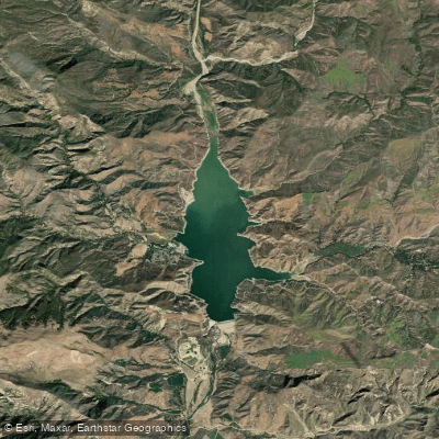
Lake Piru
Explore California waters
Top paddling waters
Popular Cities
Loading popular cities...
Explore near Sespe Creek
Access points
Nearby waters
More in California

Smarter Paddling Starts in the App.
Paddleways gives you everything you need to plan smarter, paddle better, and own every trip from first launch to takeout.