Santa Ynez River
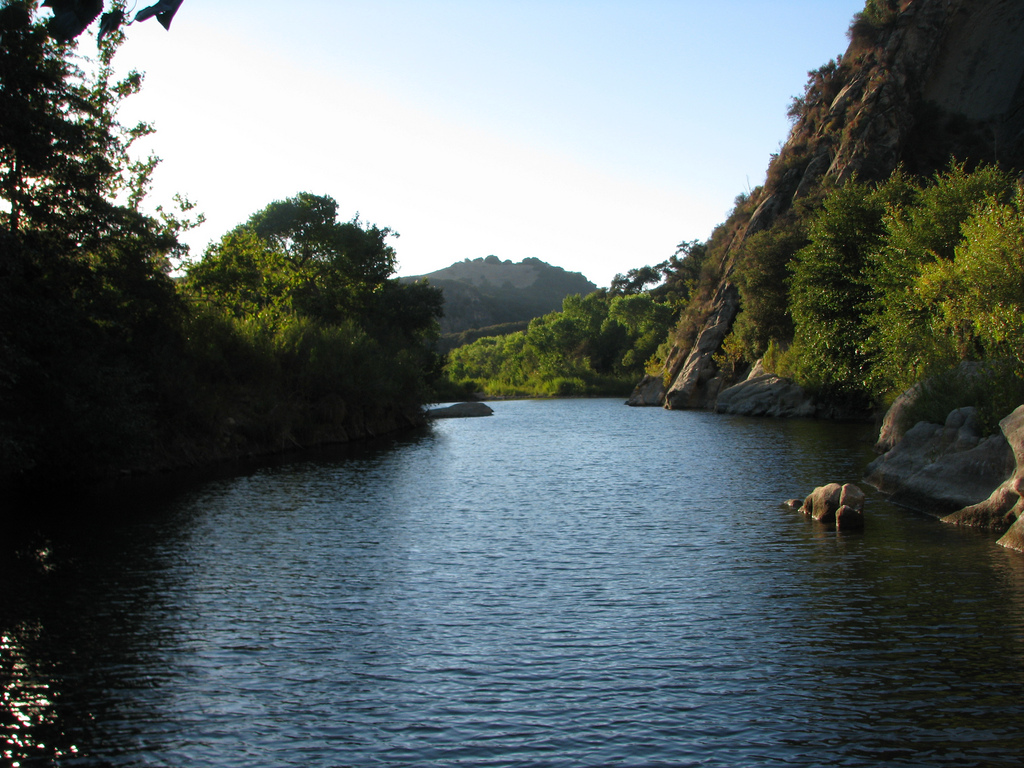
Santa Ynez River
- Boat Ramps
- 0
- Access Points
- 1
- Campsites
- 15
The Santa Ynez River is a significant waterway in Santa Barbara County, California, stretching 92 miles from its origin near Divide Peak in the Santa Ynez Mountains to its mouth at the Pacific Ocean near Lompoc. Flowing primarily westward, this river system drains the rugged and scenic Santa Ynez Mountains north of Santa Barbara. Paddling opportunities on the Santa Ynez River are diverse but highly seasonal, dependent on rainfall and dam releases. The Upper Santa Ynez section below Gibraltar Dam offers a 25-mile stretch through mountain terrain, with flow controlled by dam releases. The Lower Santa Ynez provides more accessible paddling, particularly after significant rainfall events.
Generally, a minimum flow of 3,000 cubic feet per second (cfs) is needed for kayaking, with ideal conditions sometimes reaching over 20,000 cfs during wet winters. The river's difficulty ranges from flatwater sections suitable for beginners to more challenging Class II-III rapids during high water periods. Paddlers should possess intermediate to advanced skills for most sections when the river is running. Late winter to early spring typically offers the best paddling conditions, coinciding with California's rainy season. However, water levels can change rapidly, requiring paddlers to closely monitor conditions and dam release schedules.
The Santa Ynez River ecosystem supports various wildlife, including steelhead trout populations in the upper reaches. California Golden beavers have established dams in the lower river near Lompoc, creating unique riparian habitats. Key landmarks include Gibraltar Dam, Cachuma Lake (a major reservoir along the river's course), and the river's estuary near Lompoc. Paradise Road provides access to several river crossings and swimming holes, popular for day use and camping.
Primary access points include areas below Gibraltar Dam, near Solvang, and in the Lompoc area. The nearby towns of Santa Barbara, Solvang, and Lompoc serve as bases for river expeditions. Historically, the Santa Ynez River has been crucial for water supply and agriculture in Santa Barbara County. Today, it continues to play a vital role in water management while offering recreational opportunities.
Safety considerations include rapidly changing water levels, strainers, and the potential for flash floods during rainy periods. Paddlers should be aware of local regulations, particularly regarding access points and camping restrictions. While most trips on the Santa Ynez are day excursions, multi-day adventures are possible during optimal conditions, potentially combining river paddling with camping at designated sites along Paradise Road or at Cachuma Lake.
Water access, boat ramps & amenities
Learn how to get on Santa Ynez River. Uncover great paddling access points, boat ramps, and all the facilities you need for an unforgettable day on the water. Some locations shown may border or include private property. Always check property boundaries and applicable regulations before visiting. PaddleWays's Public & Private Land layer can help you plan your access with confidence.
Paddle smarter with real-time insights
Whether you're en route and conditions shift or you're looking for the best spot based on current flows, we enable you to make informed decisions on the fly.








Find Places to Paddle

Over 400,000 Places to Paddle
Every user gets free access to launch points, boat ramps, and public property parcels.


Water and weather conditions (10 day forecast)
See the best times to paddle Santa Ynez River and check the forecast before you go.
GIBRALTAR DAM DIV WEIR A GIBRALTAR DAM CA
All Flow Stations
Paddling near Santa Ynez River
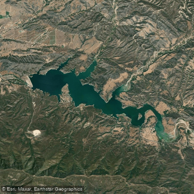
Lake Cachuma
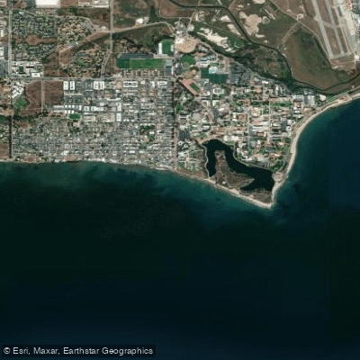
Isla Vista Beach
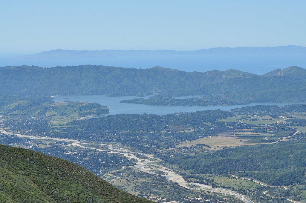
Lake Casitas
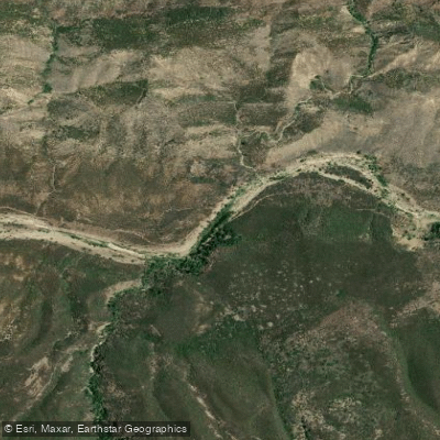
Sespe Creek
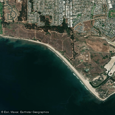
Ellwood Beach

Piru Creek
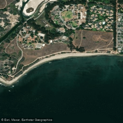
Devereux Beach
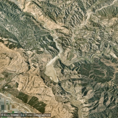
Twitchell Reservoir
Explore California waters
Top paddling waters
Popular Cities
Loading popular cities...
Explore near Santa Ynez River
Access points
Nearby waters
More in California

Smarter Paddling Starts in the App.
Paddleways gives you everything you need to plan smarter, paddle better, and own every trip from first launch to takeout.