San Luis Obispo Bay
- Saltwater
- Bay
San Luis Obispo Bay
- Saltwater
- Bay
- Sq. miles
- 2.7
- Boat Ramps
- 2
- Access Points
- 2
- Campsites
- 1
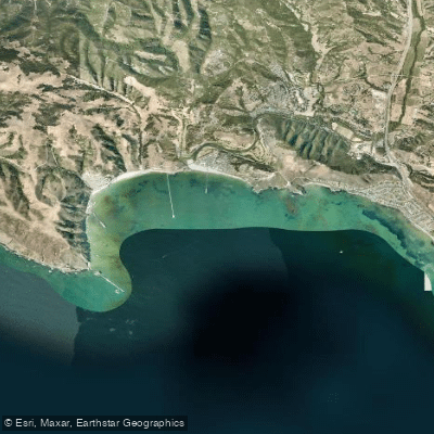
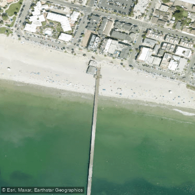
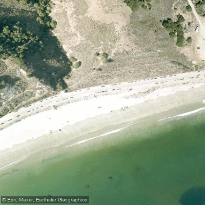
San Luis Obispo Bay is a coastal bay on the Central Coast of California, offering a protected paddling environment due to its highland backing and a western jetty. The bay connects directly to the open ocean, and its greater depth and coastal features like sea stacks and towering cliffs differentiate it from nearby shallow estuaries. The primary hub for paddlers is Avila Beach, a small seaside town tucked into the bay's curve. Key launch facilities include the Port San Luis Boatyard at 3915 Avila Beach Drive, where a dock provides the easiest water access, Olde Port Beach on Avila Beach Road for beach launching with soft sand requiring 4WD, and the Avila Beach Pier area. A popular and recommended route is a round-trip paddle from Avila Beach south along the coastline to Whaler's Beach at Point San Luis, a distance of just under two miles one-way. This destination features the historic Point San Luis Lighthouse, built in 1890, which is accessible via stairs from the beach. Paddlers are advised to plan trips for the morning, typically between 9 a.m. and 12 p.m., to avoid rough afternoon waters caused by prevailing offshore winds that can make the return passage challenging. On blustery days, hugging the coast is recommended. The bay's pacified waters attract a variety of marine life; sea otters are often seen in kelp beds east of Harford Pier, and harbor seals and sea lions haul out on rock jetties and breakwaters. Bird life is abundant, with pelicans, cormorants, and other seabirds congregating on sea stacks like Smith's Island. For safety, paddlers should be aware of boat traffic and adhere to marked zones; "No Boating Areas" are designated by white buoys off Olde Port Beach and Avila Beach, and a 5 mph speed limit is enforced within 200 feet of swimmers, mooring areas, piers, and anchored vessels. The water temperature ranges from 53 to 63 degrees Fahrenheit, and visibility varies. While the bay is generally protected, ocean conditions can change quickly, and there can be a surf zone at beach entries; on days with sizable swell, waves crash dramatically against the breakwater. All vessels must be properly registered, and persons under 12 must wear a life jacket.
Water access, boat ramps & amenities
Learn how to get on San Luis Obispo Bay. Uncover great paddling access points, boat ramps, and all the facilities you need for an unforgettable day on the water. Some locations shown may border or include private property. Always check property boundaries and applicable regulations before visiting. PaddleWays's Public & Private Land layer can help you plan your access with confidence.
Paddle smarter with real-time insights
Whether you're en route and conditions shift or you're looking for the best spot based on current flows, we enable you to make informed decisions on the fly.








Find Places to Paddle

Over 400,000 Places to Paddle
Every user gets free access to launch points, boat ramps, and public property parcels.


Tides, wind & water conditions (10 day forecast)
On open water, wind and tide matter as much as the weather. See the best times to paddle San Luis Obispo Bay and check the marine forecast before you launch.
Loading tide predictions…
Paddling near San Luis Obispo Bay
Santa Ynez River
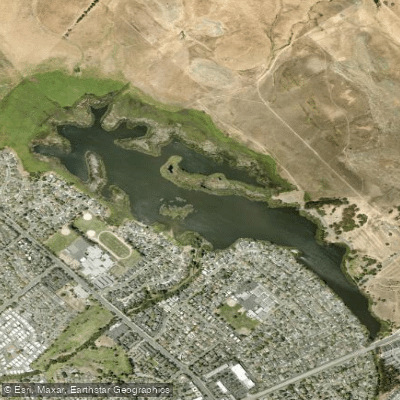
Laguna Lake

Estero Bay
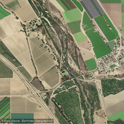
Salinas River
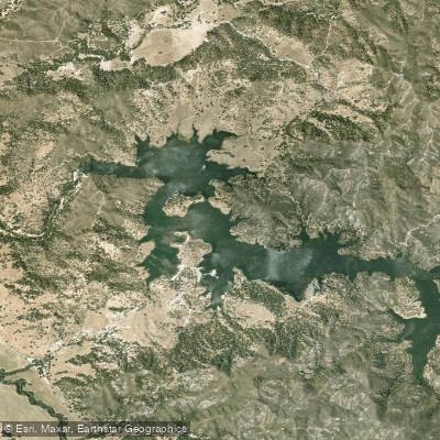
Santa Margarita Lake
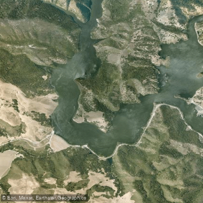
Lopez Lake
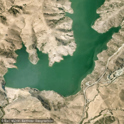
Whale Rock Reservoir
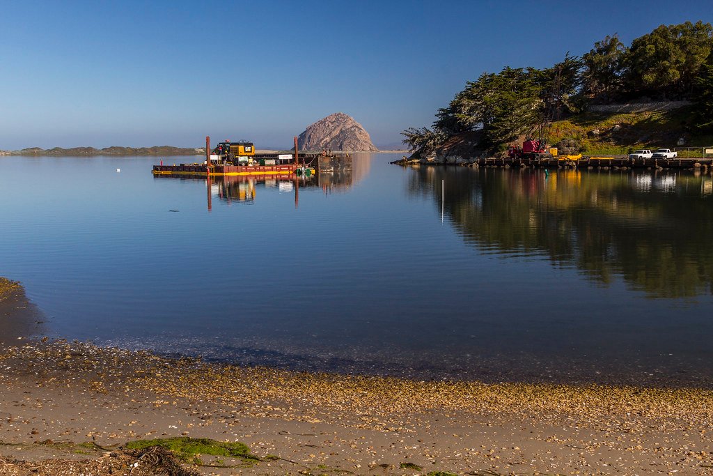
Morro Bay
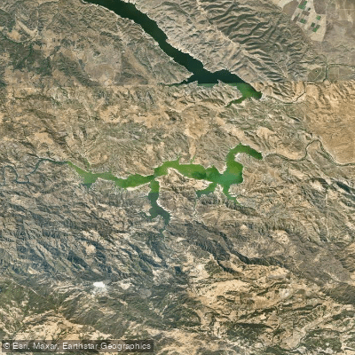
Lake Nacimiento
Explore California waters
Top paddling waters
Popular Cities
Loading popular cities...
Explore near San Luis Obispo Bay
Access points
- Port San Luis Boat Ramp
- Port San Luis Harbor Mooring Field Boat Ramp
- Avila Pier Access
- Olde Port Beach Access
- San Luis Obispo Creek Bridge
- San Luis Obispo Creek Bridge
- San Luis Obispo Creek Bridge
- Villa Creek Bridge
- Pismo Creek Bridge
- Pismo Creek Bridge
- San Luis Obispo Creek Bridge
- Pismo Creek Bridge
- All 14 spots
Nearby waters
More in California

Smarter Paddling Starts in the App.
Paddleways gives you everything you need to plan smarter, paddle better, and own every trip from first launch to takeout.