North Haiwee Reservoir
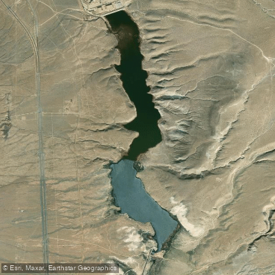
North Haiwee Reservoir
- Boat Ramps
- 0
- Access Points
- 0
- Campsites
- 0
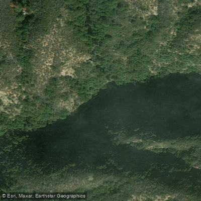
North Haiwee Reservoir is located in Inyo County, California, approximately 5 miles south of the intersection of US-395 Highway and SR-190, and just east of US-395 Highway. It is one of the southernmost reservoirs in the Los Angeles Aqueduct system, completed in 1913. The reservoir has a storage capacity of 60,600 acre-feet and covers a surface area of 1,350 acres.
Paddling is not permitted on North Haiwee Reservoir. The Los Angeles Department of Water and Power (LADWP) owns and operates the reservoir primarily for water supply purposes, including irrigation and domestic use for Los Angeles. Fishing is also prohibited.
The reservoir is divided into upper and lower sections by a diversion dam. While not accessible for recreation, the reservoir is surrounded by scenic desert landscapes typical of the Owens Valley region. The area around the reservoir is sparsely populated, with the nearest town being Dunmovin.
Water quality in the reservoir has been a concern in the past. Historically, LADWP applied copper sulfate to control algae blooms, which led to elevated copper levels and fish kills in the 1990s. While application practices have since changed, copper concentrations remain above water quality criteria levels.
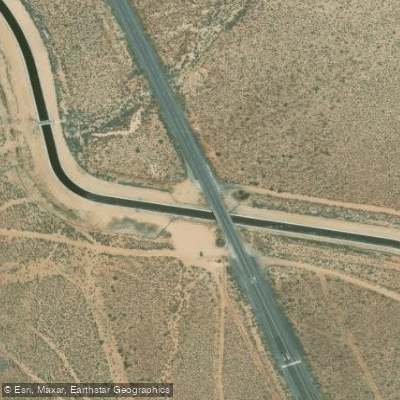
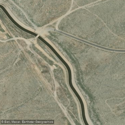
A new earthfill embankment dam is currently under construction north of the existing dam to improve seismic reliability. This project, scheduled for completion in 2027, involves realigning nearby roads and a section of the Los Angeles Aqueduct.
Given its critical role in Southern California's water supply infrastructure and ongoing construction, North Haiwee Reservoir remains closed to public access and recreation. Paddlers interested in exploring the region should seek alternative locations that allow water activities.
Water access, boat ramps & amenities
Learn how to get on North Haiwee Reservoir. Uncover great paddling access points, boat ramps, and all the facilities you need for an unforgettable day on the water. Some locations shown may border or include private property. Always check property boundaries and applicable regulations before visiting. PaddleWays's Public & Private Land layer can help you plan your access with confidence.
Paddle smarter with real-time insights
Whether you're en route and conditions shift or you're looking for the best spot based on current flows, we enable you to make informed decisions on the fly.








Find Places to Paddle

Over 400,000 Places to Paddle
Every user gets free access to launch points, boat ramps, and public property parcels.


Water and weather conditions (10 day forecast)
See the best times to paddle North Haiwee Reservoir and check the forecast before you go.
No forecast data available.
Paddling near North Haiwee Reservoir
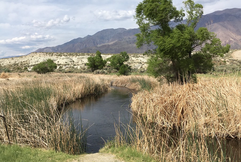
Owens River
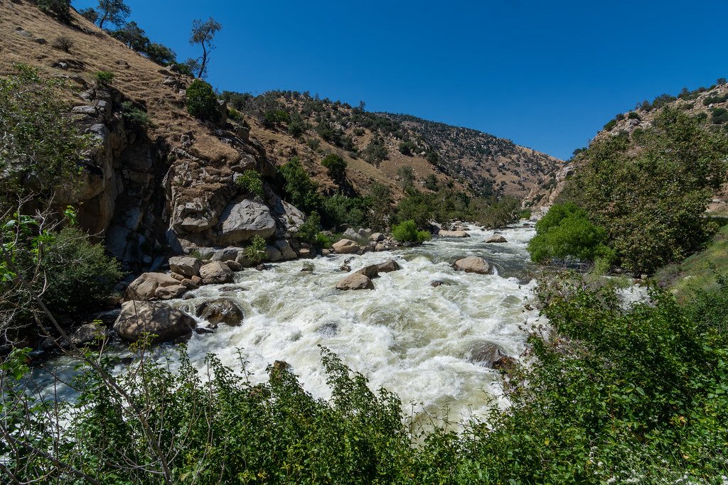
Kern River
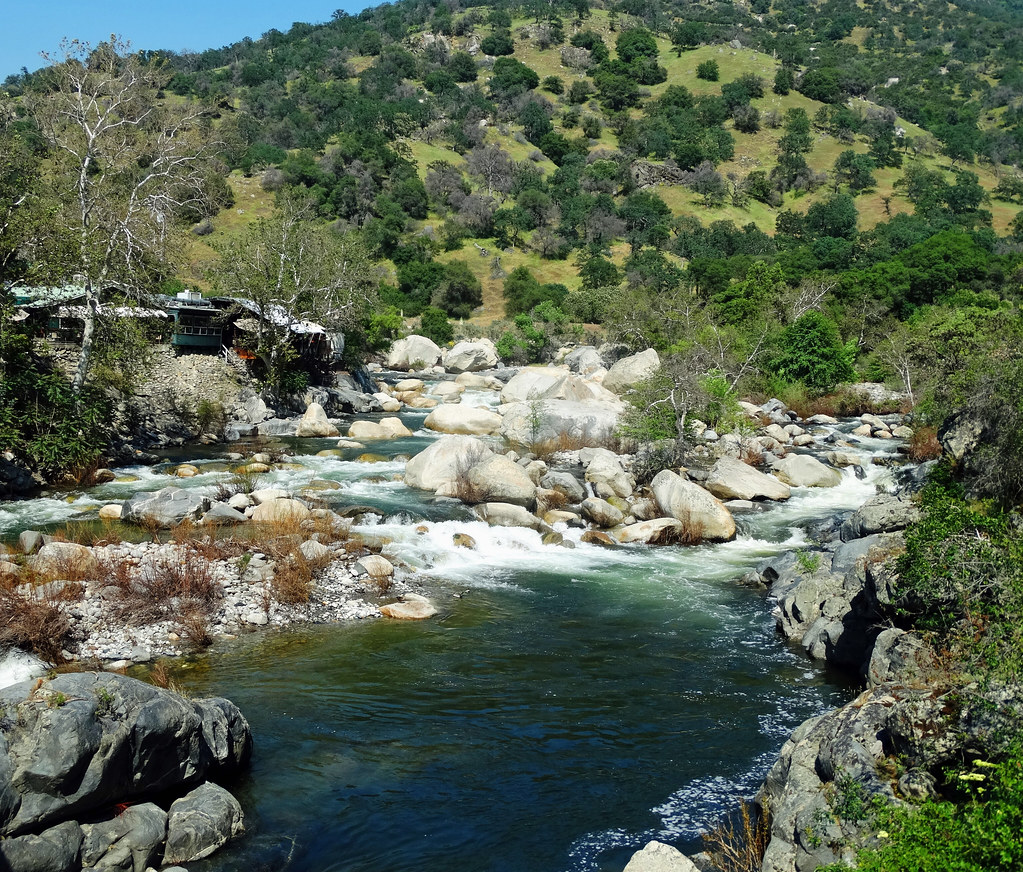
Kaweah River
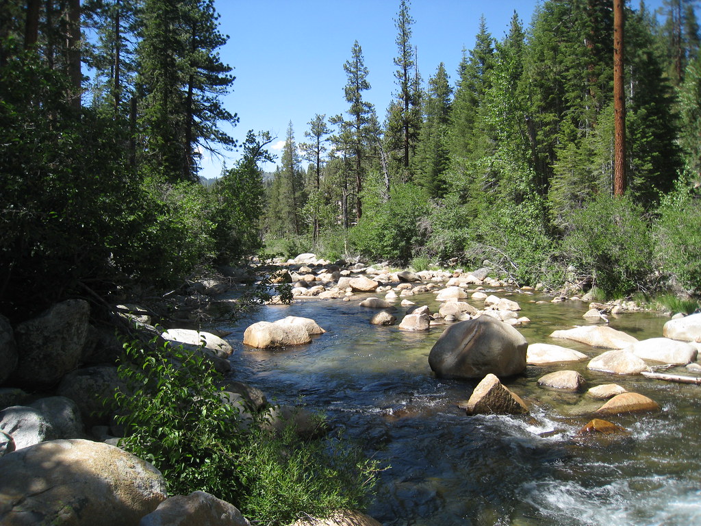
South Fork San Joaquin River
South Fork Bishop Creek
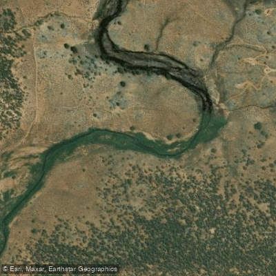
South Fork Kern River
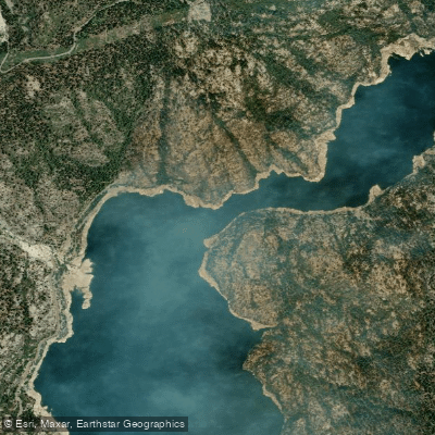
North Fork Kings River
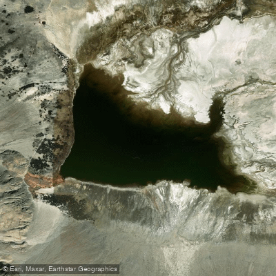
Salt Lake
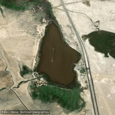
Diaz Lake
East Fork Kaweah River
Explore California waters
Top paddling waters
Popular Cities
Loading popular cities...
Explore near North Haiwee Reservoir
Nearby waters
More in California

Smarter Paddling Starts in the App.
Paddleways gives you everything you need to plan smarter, paddle better, and own every trip from first launch to takeout.