Peeler Lake
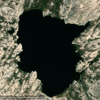
Peeler Lake
- Boat Ramps
- 0
- Access Points
- 1
- Campsites
- 0
Peeler Lake sits at 9,488 feet elevation on the border of Yosemite National Park and Hoover Wilderness, straddling the Great Basin Divide. This alpine lake features outlet streams that flow both west to the Pacific Ocean via the Tuolumne and San Joaquin Rivers and east into the Great Basin via Robinson Creek and Walker River.
Access requires an 11-mile round-trip hike from the Robinson Creek Trailhead at Twin Lakes near Bridgeport, California, with approximately 2,400 feet of elevation gain. A permit from the Bridgeport Ranger Station is required for overnight stays in the Hoover Wilderness area. The trailhead is located in the back of Twin Lakes Campground, though it can be challenging to find.
The lake is flanked by Cirque Mountain to the north and Crown Point (11,346 ft) to the south, offering dramatic alpine scenery. The clear waters support an active population of rainbow trout, with fish typically measuring over 12 inches. Fishing is excellent, with aggressive trout making it one of the more productive fishing lakes in the Sierra.
The best time to visit is from late June through early October when the trail is typically free of snow. By 2006 water quality assessment, the lake showed elevated nitrate concentrations of 17 μeq/L, higher than expected from atmospheric deposition alone.
The area sees moderate traffic during peak summer months, particularly on weekends, though it receives significantly fewer visitors than nearby Barney Lake. There are established campsites to the south of the lake, though camping within 50 yards of the shore is prohibited. The lake serves as a gateway between the west Sierra slope of Tuolumne County and the Sierra Escarpment of Mono County.
The lake was named in 1925 for Barney Peeler (1833-1920) of Bridgeport and was officially added to the Geographic Names Information System in 2000.
Water access, boat ramps & amenities
Learn how to get on Peeler Lake. Uncover great paddling access points, boat ramps, and all the facilities you need for an unforgettable day on the water. Some locations shown may border or include private property. Always check property boundaries and applicable regulations before visiting. PaddleWays's Public & Private Land layer can help you plan your access with confidence.
Paddle smarter with real-time insights
Whether you're en route and conditions shift or you're looking for the best spot based on current flows, we enable you to make informed decisions on the fly.








Find Places to Paddle

Over 400,000 Places to Paddle
Every user gets free access to launch points, boat ramps, and public property parcels.


Water and weather conditions (10 day forecast)
See the best times to paddle Peeler Lake and check the forecast before you go.
No forecast data available.
Paddling near Peeler Lake

Tuolumne River

Merced River
Middle Fork San Joaquin River

San Joaquin River
Rush Creek
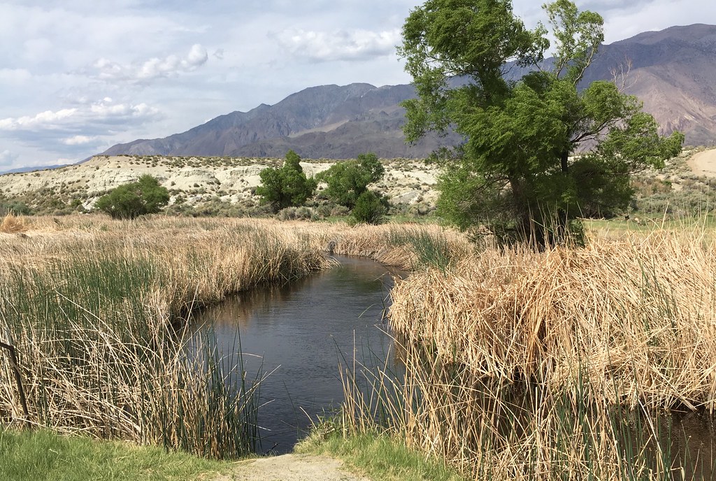
Owens River
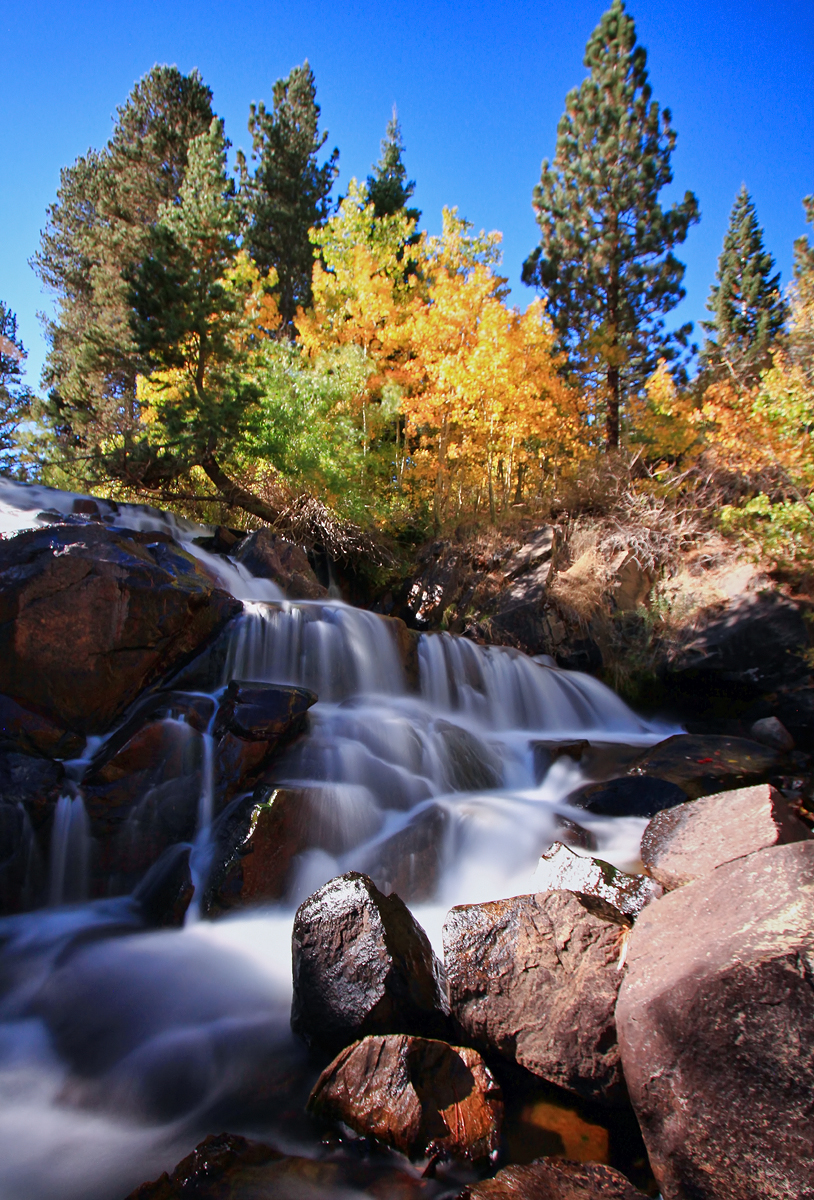
Lee Vining Creek
East Walker River
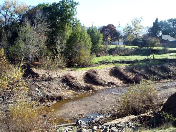
Robinson Creek
South Fork San Joaquin River
Explore California waters
Top paddling waters
Popular Cities
Loading popular cities...
Explore near Peeler Lake

Smarter Paddling Starts in the App.
Paddleways gives you everything you need to plan smarter, paddle better, and own every trip from first launch to takeout.