Port of Stockton
- Saltwater
- Sea area
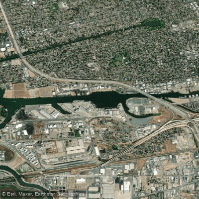
Port of Stockton
- Saltwater
- Sea area
- Sq. miles
- 0.2
- Boat Ramps
- 1
- Access Points
- 0
- Campsites
- 0
The Port of Stockton is a major inland deepwater port situated on the Stockton Ship Channel and San Joaquin River within the Sacramento–San Joaquin River Delta. It is a working industrial port with significant commercial shipping traffic; over 300 ships a year use the shipping channels to travel to the port. This defines the primary paddling character as one requiring high situational awareness and strict adherence to commercial navigation rules. Paddlers must never cross the river when a ship is in view, as these large vessels move faster than they appear. The port area itself is part of a broader, complex delta system of channels and sloughs. The Antioch Marina is designated a San Francisco Bay Water Trail Site and provides a launch for trips on the San Joaquin River approaching the port area. Other nearby facilities include Windmill Cove Marina & RV Park on the Stockton Deepwater Channel and the Stockton Rowing Club on Buckley Cove Way.
Paddling conditions on the San Joaquin River leading to the port are heavily influenced by tides and wind. Tidal currents are a major planning factor, and wind opposing the tide can quickly create hazardous conditions, with about 10 knots of wind against the tide capable of stirring up swells and chop of two to four feet. The water is part of a tidal estuary, so paddlers must always check tide and weather forecasts before departure. The area is known for its agricultural landscape, with tilled fields visible from the water, and sunsets that can cast a warm glow on the large freighters heading to the port. The primary safety considerations are the constant presence of large commercial ship traffic, the potential for rapidly deteriorating water conditions due to wind against tide, and the need for preparedness. Paddlers should dress for cold water temperatures, wear a PFD, carry communication devices in waterproof containers, and have dry clothes available. A trip from Antioch Marina to Point Beenar is an example of a manageable route in the region, covering about 3.5 miles round trip. The discovery of invasive golden mussels in the Port of Stockton has led to preventive closures at other water bodies like Camanche Reservoir, but there is no indication of a paddling ban within the port or Stockton Deepwater Channel itself.
Water access, boat ramps & amenities
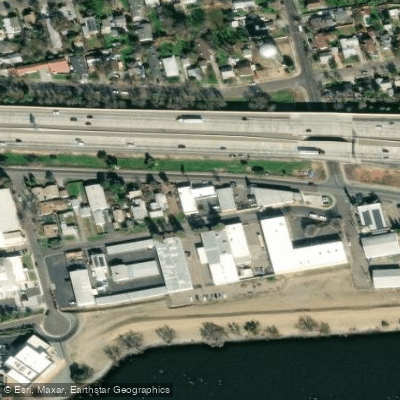
Learn how to get on Port of Stockton. Uncover great paddling access points, boat ramps, and all the facilities you need for an unforgettable day on the water. Some locations shown may border or include private property. Always check property boundaries and applicable regulations before visiting. PaddleWays's Public & Private Land layer can help you plan your access with confidence.
Paddle smarter with real-time insights
Whether you're en route and conditions shift or you're looking for the best spot based on current flows, we enable you to make informed decisions on the fly.








Find Places to Paddle

Over 400,000 Places to Paddle
Every user gets free access to launch points, boat ramps, and public property parcels.


Tides, wind & water conditions (10 day forecast)
On open water, wind and tide matter as much as the weather. See the best times to paddle Port of Stockton and check the marine forecast before you launch.
Loading tide predictions…
Paddling near Port of Stockton

San Joaquin River

Mokelumne River
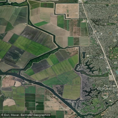
Fourteenmile Slough

Sacramento River

Stanislaus River

Tuolumne River

American River
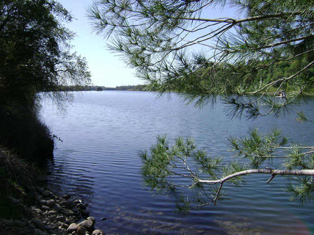
Lake Natoma
Explore California waters
Top paddling waters
Popular Cities
Loading popular cities...
Explore near Port of Stockton
Access points
Nearby waters
More in California

Smarter Paddling Starts in the App.
Paddleways gives you everything you need to plan smarter, paddle better, and own every trip from first launch to takeout.