Richmond Inner Harbor
- Saltwater
- Harbor
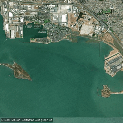
Richmond Inner Harbor
- Saltwater
- Harbor
- Sq. miles
- 1.9
- Boat Ramps
- 0
- Access Points
- 0
- Campsites
- 5
Richmond Inner Harbor is a sheltered saltwater basin within San Francisco Bay, located in Richmond, California, USA. It serves as a popular launch point for paddlers accessing the wider bay. The primary public access is at Marina Bay Yacht Harbor, which features a public dock with wide ramps. Parking at the marina lot carries a fee, though a limited number of free spaces may be available outside the lot. An alternative launch is near the restaurant Salute further inside the marina, though its dock may be closed seasonally, potentially requiring a difficult shore exit over rocks. The harbor offers a protected put-in with easy access to the open bay. The most significant paddling hazards are the active boat channels directly in front of the marina entrances and ferry traffic. Wind is a major consideration for trips onto San Francisco Bay; prevailing winds often build in the afternoon, blowing from the Golden Gate, making early morning paddles advisable to avoid strenuous conditions. From the harbor, paddlers have expansive views spanning from the Bay Bridge to the Golden Gate Bridge, with sights including Treasure Island, Angel Island, and Brooks Island. Brooks Island, a regional preserve located just offshore, is a notable wildlife sanctuary but is only accessible by guided tour; independent landing is prohibited. The island is home to numerous bird species, including Caspian Terns and Black-crowned Night Herons. The harbor itself is a hub for paddle sports, with local businesses offering instruction, guided paddles, and community events. Facilities at the launch include paid parking and, at the Emeryville Marina—a common take-out point for downwind runs—portable toilets. The area is characterized by its urban-aquatic environment, combining marina infrastructure with open bay vistas.
Water access, boat ramps & amenities
Learn how to get on Richmond Inner Harbor. Uncover great paddling access points, boat ramps, and all the facilities you need for an unforgettable day on the water. Some locations shown may border or include private property. Always check property boundaries and applicable regulations before visiting. PaddleWays's Public & Private Land layer can help you plan your access with confidence.
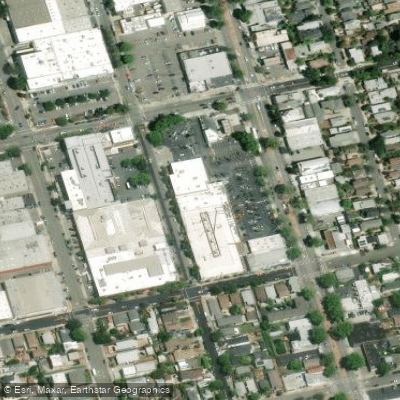
Paddle smarter with real-time insights
Whether you're en route and conditions shift or you're looking for the best spot based on current flows, we enable you to make informed decisions on the fly.








Find Places to Paddle

Over 400,000 Places to Paddle
Every user gets free access to launch points, boat ramps, and public property parcels.


Tides, wind & water conditions (10 day forecast)
On open water, wind and tide matter as much as the weather. See the best times to paddle Richmond Inner Harbor and check the marine forecast before you launch.
Loading tide predictions…
Paddling near Richmond Inner Harbor

San Joaquin River

Sacramento River

San Francisco Bay

Mokelumne River
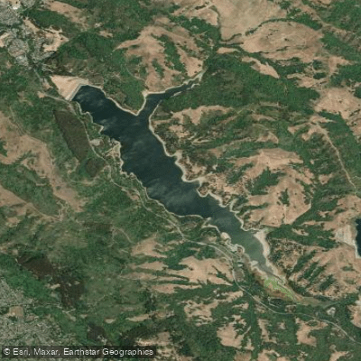
San Pablo Reservoir

San Pablo Bay
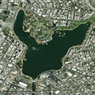
Lake Merritt
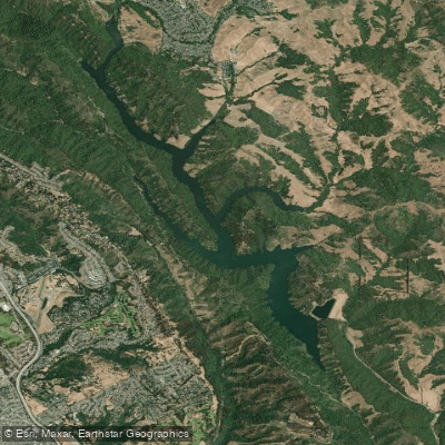
Upper San Leandro Reservoir
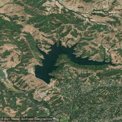
Briones Reservoir
Explore California waters
Top paddling waters
Popular Cities
Loading popular cities...
Explore near Richmond Inner Harbor
Access points
Nearby waters
More in California

Smarter Paddling Starts in the App.
Paddleways gives you everything you need to plan smarter, paddle better, and own every trip from first launch to takeout.