Upper San Leandro Reservoir
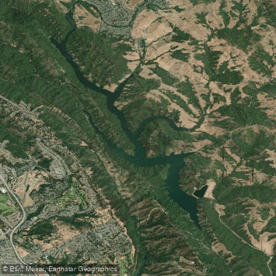
Upper San Leandro Reservoir
- Boat Ramps
- 0
- Access Points
- 0
- Campsites
- 11
Upper San Leandro Reservoir is an artificial lake located in Alameda County and Contra Costa County, California. The reservoir is closed to boating and fishing to protect water quality, which means paddling is not permitted on this body of water.
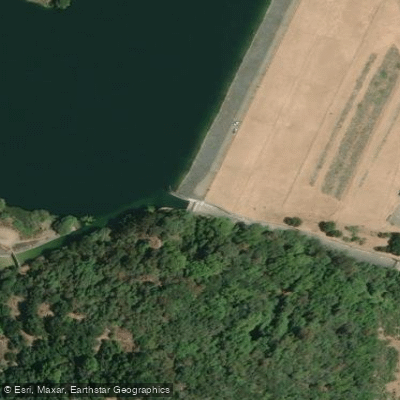
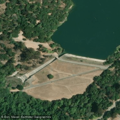
The reservoir has a capacity of about 42,000 acre-feet, with a normal volume of approximately 30,250 acre-feet. It is impounded by the San Leandro Dam, an earth-filled structure 182 feet high and 1,300 feet long, situated at the southeast end of the lake.
While paddling is prohibited, visitors can enjoy the surrounding area through a public trail system. The King Canyon Loop Trail skirts along the northern edge of the reservoir, offering hikers views of the water body and surrounding landscape. The trail winds through forests of California bay trees and oak trees, providing opportunities to observe local flora and fauna.
Wildlife enthusiasts may spot various bird species around the reservoir, including waterfowl, wrens, finches, and raptors. The reservoir and its feeder streams are home to a population of landlocked rainbow trout, whose migration to San Francisco Bay was blocked by the dam's construction.
The reservoir was originally formed in 1926 and receives water from several tributaries, including San Leandro, Moraga, King Canyon, Kaiser, Buckhorn, and Redwood Creeks. Most of its water, however, is imported via the Mokelumne Aqueduct.
For those interested in the area's history, the reservoir's creation inundated a section of the San Leandro Creek valley, including the towns of Valle Vista and Redwood. The current dam, constructed in 1977, replaced an earlier structure to provide better protection against earthquakes.
While paddling is not an option at Upper San Leandro Reservoir, the surrounding trails and natural beauty offer alternative recreational opportunities for visitors.
Water access, boat ramps & amenities
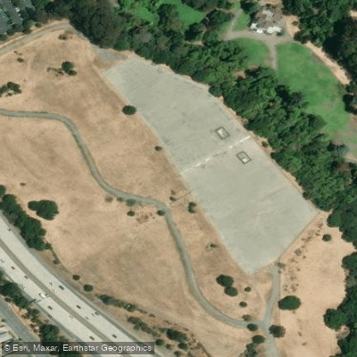
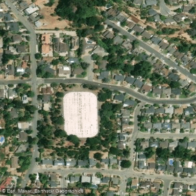
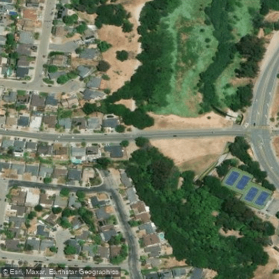
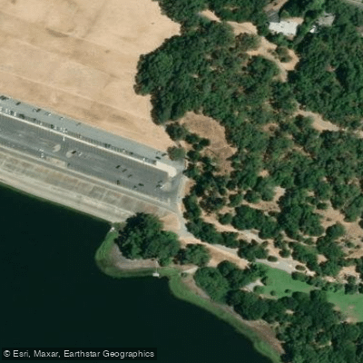
Learn how to get on Upper San Leandro Reservoir. Uncover great paddling access points, boat ramps, and all the facilities you need for an unforgettable day on the water. Some locations shown may border or include private property. Always check property boundaries and applicable regulations before visiting. PaddleWays's Public & Private Land layer can help you plan your access with confidence.
Paddle smarter with real-time insights
Whether you're en route and conditions shift or you're looking for the best spot based on current flows, we enable you to make informed decisions on the fly.








Find Places to Paddle

Over 400,000 Places to Paddle
Every user gets free access to launch points, boat ramps, and public property parcels.


Water and weather conditions (10 day forecast)
See the best times to paddle Upper San Leandro Reservoir and check the forecast before you go.
No forecast data available.
Paddling near Upper San Leandro Reservoir

San Joaquin River

Sacramento River

San Francisco Bay

Mokelumne River

San Pablo Bay
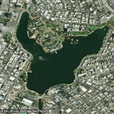
Lake Merritt
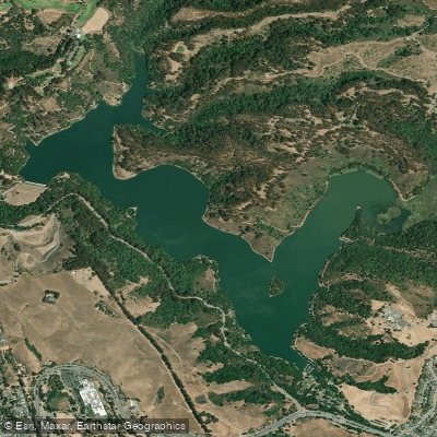
Lake Chabot
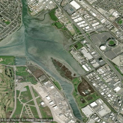
San Leandro Bay
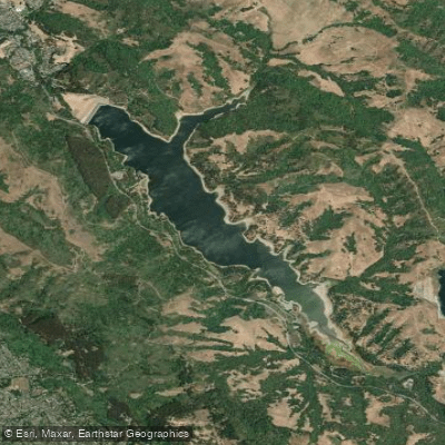
San Pablo Reservoir
Explore California waters
Top paddling waters
Popular Cities
Loading popular cities...
Explore near Upper San Leandro Reservoir
Access points
Nearby waters
More in California

Smarter Paddling Starts in the App.
Paddleways gives you everything you need to plan smarter, paddle better, and own every trip from first launch to takeout.