South Fork Smith River
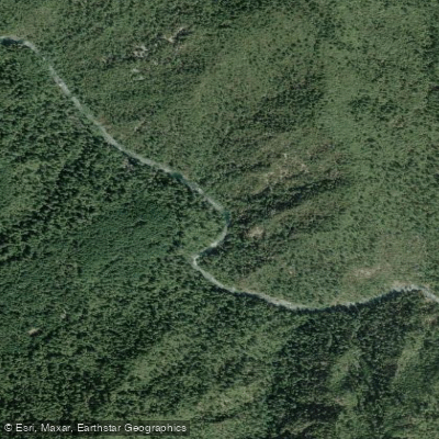
South Fork Smith River
- Boat Ramps
- 0
- Access Points
- 0
- Campsites
- 12
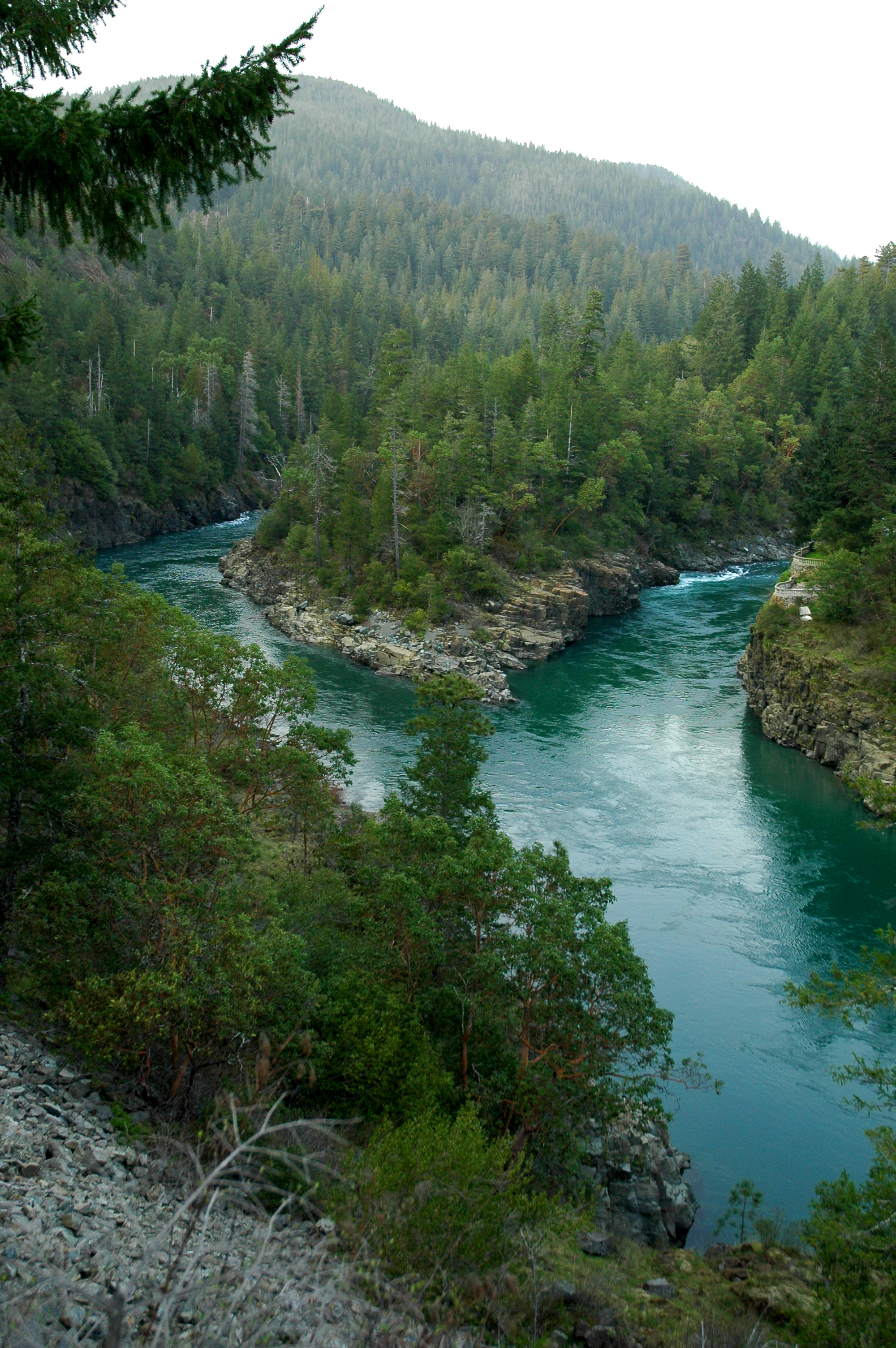
The South Fork Smith River carves through the remote northwest corner of California, joining the Middle Fork near Jedediah Smith Redwoods State Park before continuing to the Pacific Ocean. As a major tributary of the Smith River system—California's largest undammed river—this fork flows through the Six Rivers National Forest and pristine old-growth redwood forests, offering paddlers crystal-clear waters and exceptional wilderness character.
The South Fork presents a diverse gradient profile spanning 16+ miles from Steven Memorial Bridge to Jedediah Smith Redwoods State Park, with an average gradient of 27 feet per mile. Paddling opportunities range from challenging Class IV-V whitewater in the upper reaches and gorge sections to mellower Class II-III intermediate runs and gentle Class I-II floats through the redwood forest. The river's crown jewel is the South Fork Gorge, a short but intense 1.5-mile section beginning at Craig's Beach that features technical Class IV-V rapids including Good Luck, The Boof, and other consequential drops carved through a narrow canyon. Upstream, the Buck Creek to Steven Memorial Bridge section offers expert-level Class IV-V whitewater for advanced paddlers seeking remote wilderness challenges.
The classic intermediate run from Steven Memorial Bridge to Craig's Beach covers approximately 12 miles of continuous Class II-III whitewater with notable rapids including Boulder Creek Rapid and Coon Creek Rapid. Multiple access points along South Fork Road allow paddlers to customize trip length and difficulty, with Sand Camp River Access at mile 5.5 providing an alternate put-in or take-out. The lower section from Second Bridge to Jedediah Smith State Park offers a scenic 2.4-mile float suitable for beginners.
Winter and spring provide optimal paddling conditions when rainfall swells the river to runnable levels, typically between 600 and 6,000 cfs as measured downstream near Hiouchi. Summer flows can drop considerably, though the river occasionally maintains paddleable levels into fall. The South Fork flows through ancient coast redwood groves, with western hemlock, Sitka spruce, Douglas fir, and Port Orford cedar also present. Wildlife includes salmon, steelhead, river otters, and diverse bird populations.
Access centers on South Fork Road, which parallels much of the river from Highway 199 near Hiouchi and Gasquet. Steven Memorial Bridge serves as the primary upper put-in, while Craig's Beach and Jedediah Smith Redwoods State Park provide key downstream access. The river holds Wild and Scenic River designation and flows through both National Forest and State Park lands, requiring adherence to Forest Service and State Park regulations. Camping is permitted on Forest Service lands, with developed facilities available at Jedediah Smith Campground.
The gorge section demands particular caution—once committed below Craig's Beach, escape routes are limited and rapids require solid Class IV-V skills. Scouting is essential for first-time paddlers, and the narrow canyon presents significant consequences for swimmers.
Water access, boat ramps & amenities
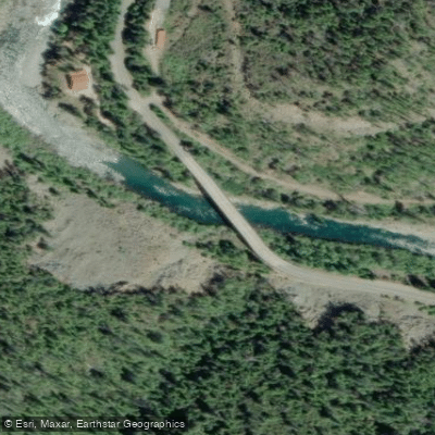
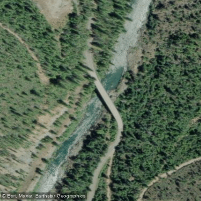
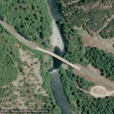
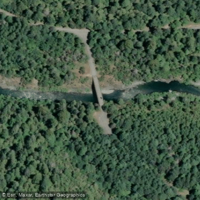
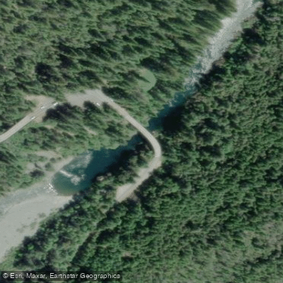
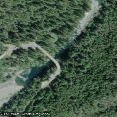
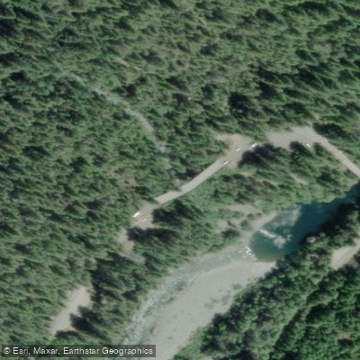
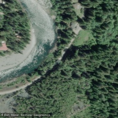
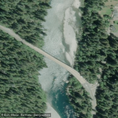
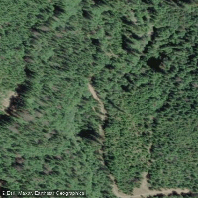
Learn how to get on South Fork Smith River. Uncover great paddling access points, boat ramps, and all the facilities you need for an unforgettable day on the water. Some locations shown may border or include private property. Always check property boundaries and applicable regulations before visiting. PaddleWays's Public & Private Land layer can help you plan your access with confidence.
Paddle smarter with real-time insights
Whether you're en route and conditions shift or you're looking for the best spot based on current flows, we enable you to make informed decisions on the fly.








Find Places to Paddle

Over 400,000 Places to Paddle
Every user gets free access to launch points, boat ramps, and public property parcels.


Water and weather conditions (10 day forecast)
See the best times to paddle South Fork Smith River and check the forecast before you go.
No forecast data available.
Paddling near South Fork Smith River

Klamath River
Smith River
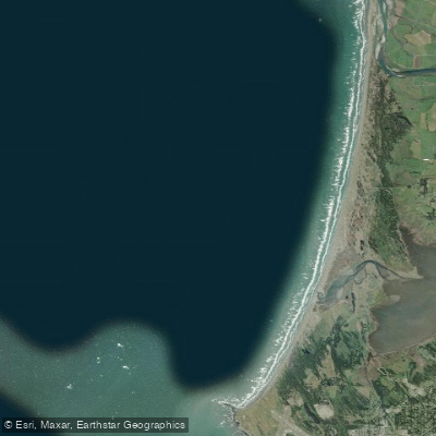
Pelican Bay
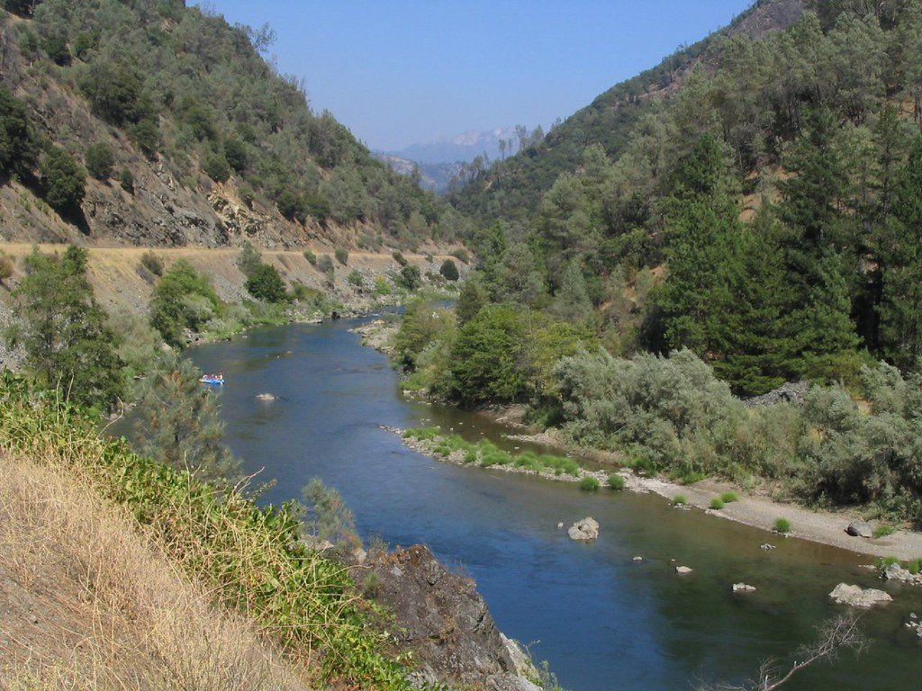
Trinity River
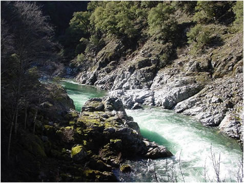
Salmon River
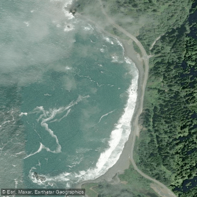
False Klamath Cove
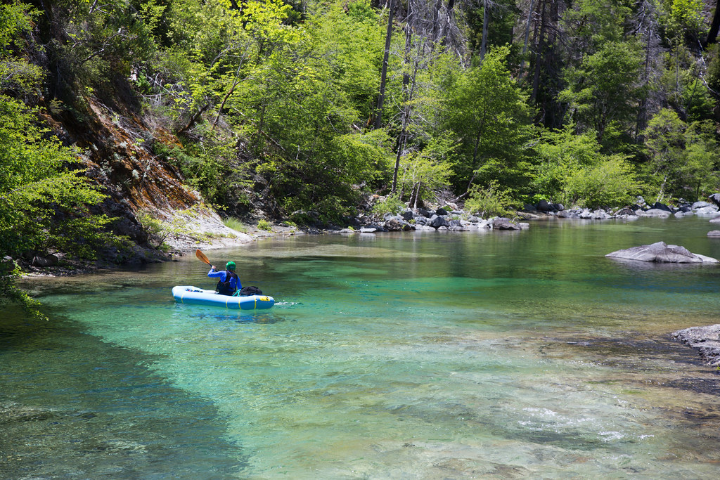
Chetco River
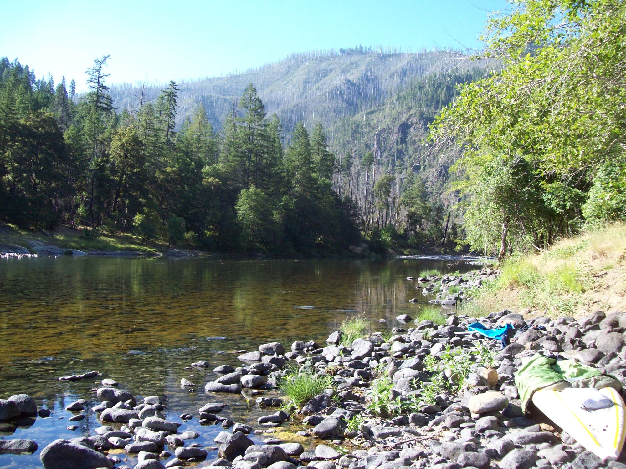
Illinois River
Hidden Beach
Explore California waters
Top paddling waters
Popular Cities
Loading popular cities...
Explore near South Fork Smith River
Access points
Nearby waters
More in California

Smarter Paddling Starts in the App.
Paddleways gives you everything you need to plan smarter, paddle better, and own every trip from first launch to takeout.