Arcata Bay
- Saltwater
- Bay
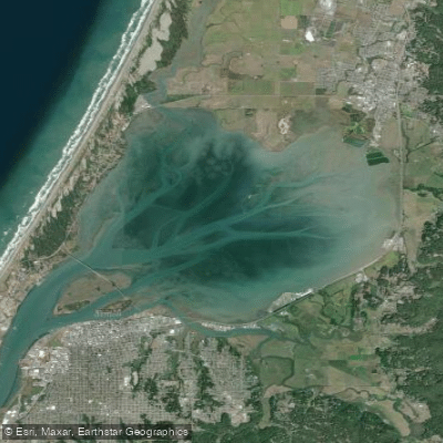
Arcata Bay
- Saltwater
- Bay
- Sq. miles
- 14
- Boat Ramps
- 4
- Access Points
- 3
- Campsites
- 0
Arcata Bay is the northern section of the larger Humboldt Bay system on California's North Coast, separated from the southern bay by Highway 101. This coastal bay features a mix of vast mudflats, eelgrass beds, and deeper channels, with its northern shore home to the Arcata Marsh and Wildlife Sanctuary. The overall paddling experience is characterized by a peaceful, suburban setting focused on wildlife observation, with the area forming part of the Humboldt Bay National Wildlife Refuge. Paddlers share the water with working maritime traffic, including large ocean-going vessels carrying logs and smaller fishing boats, requiring awareness in the channels.
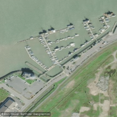
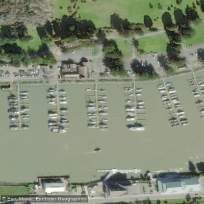
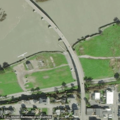
Several specific access points serve paddlers. A key launch is at the Arcata Marsh and Wildlife Sanctuary's South I Street parking lot, where a dedicated non-motorized kayak launch facility has been constructed. The Mad River Slough, located within Arcata Bay on its upper northern side, provides an easy put-in accessed from a bridge on Highway 255, though parking there has been noted as seeming sketchy but ultimately fine. The Humboldt Bay Aquatic Center serves as another launch point. For take-outs, the Freshwater Farms Reserve boat launch is a destination, and the Samoa Dunes Boat Launch and Campground offers overnight facilities nearby.
Safety considerations are dominated by tidal and ocean influences. The entire Humboldt Bay system, including Arcata Bay, is partly exposed to the ocean. Paddlers must stay alert to changing tides and weather conditions. The bay entrance is known for a dangerous breaking bar during large ocean swells, a hazard relevant for any trip approaching the mouth. Planning trips with the tide is advisable, as one described route from the Humboldt Bay Aquatic Center to Freshwater Farms Reserve utilizes an incoming tide to push paddlers toward their destination over approximately 5.5 miles. The area offers several miles of pristine paddling, with popular routes exploring the salt marshes, Mad River Slough, and destinations like Indian Island. The water is generally suitable for beginners in sheltered areas, though the presence of significant boat traffic and potential wind fetch across open sections warrants caution.
Water access, boat ramps & amenities
Learn how to get on Arcata Bay. Uncover great paddling access points, boat ramps, and all the facilities you need for an unforgettable day on the water. Some locations shown may border or include private property. Always check property boundaries and applicable regulations before visiting. PaddleWays's Public & Private Land layer can help you plan your access with confidence.
Paddle smarter with real-time insights
Whether you're en route and conditions shift or you're looking for the best spot based on current flows, we enable you to make informed decisions on the fly.








Find Places to Paddle

Over 400,000 Places to Paddle
Every user gets free access to launch points, boat ramps, and public property parcels.


Tides, wind & water conditions (10 day forecast)
On open water, wind and tide matter as much as the weather. See the best times to paddle Arcata Bay and check the marine forecast before you launch.
Loading tide predictions…
Paddling near Arcata Bay
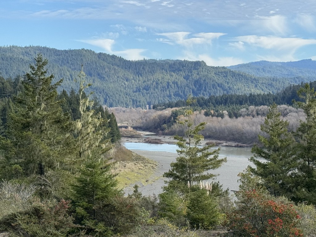
Eel River
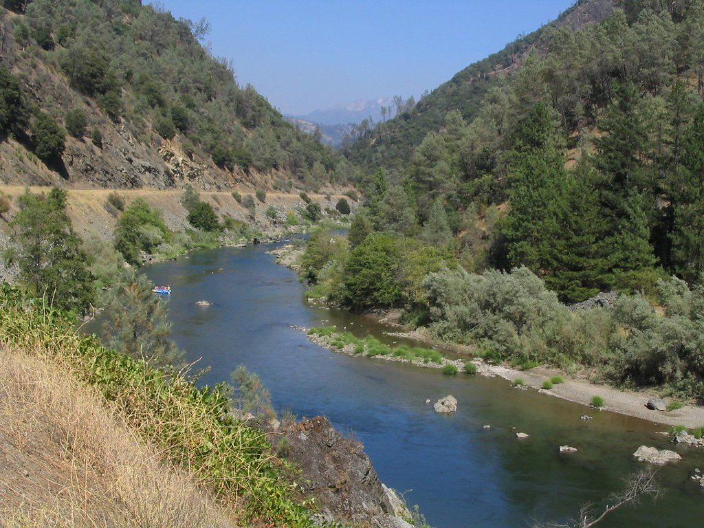
Trinity River

Klamath River
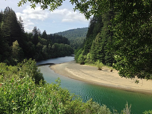
South Fork Eel River
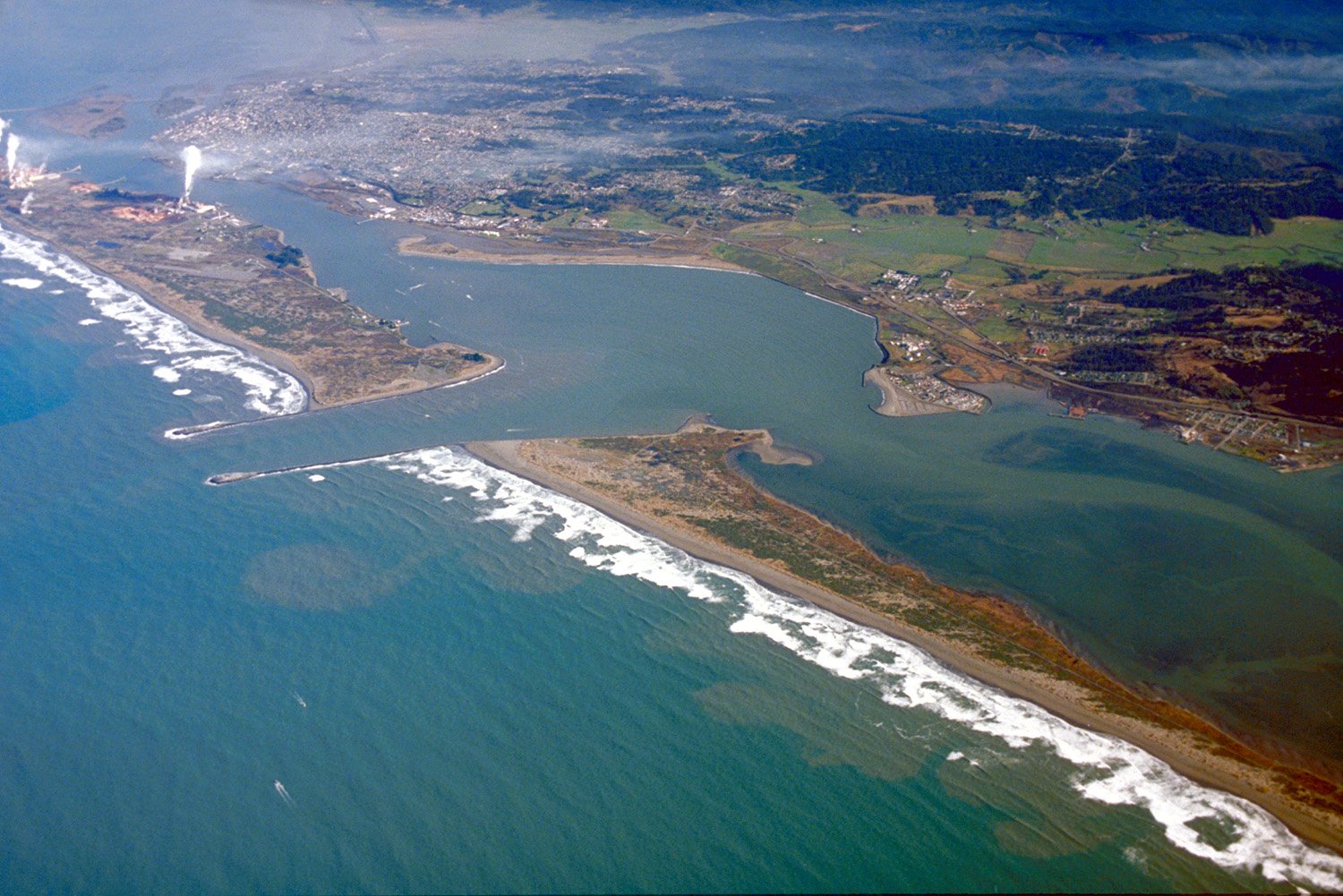
Humboldt Bay
Mad River
Big Lagoon
Arcata Channel
Van Duzen River
Explore California waters
Top paddling waters
Popular Cities
Loading popular cities...
Explore near Arcata Bay
Access points
- Arcata Bay Boat Ramp
- Highway 255 Bridge Boat Ramp
- Arcata Marsh Wildlife Sanctuary Boat Ramp
- Eureka Public Marina Boat Ramp
- Eureka Public Marina Access
- Woodley Island Marina Access
- Samoa Bridge Access
- Jacoby Creek Bridge
- Jacoby Creek Bridge
- Jacoby Creek Bridge
- Liscomb Slough Bridge
- Freshwater Slough Bridge
- All 20 spots
Nearby waters
More in California

Smarter Paddling Starts in the App.
Paddleways gives you everything you need to plan smarter, paddle better, and own every trip from first launch to takeout.