Mad River
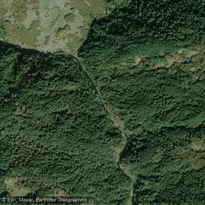
Mad River
- Boat Ramps
- 1
- Access Points
- 7
- Campsites
- 12
The Mad River originates in the Coast Range mountains of Trinity County, California, flowing northwest for approximately 100 miles before emptying into the Pacific Ocean near McKinleyville in Humboldt County. Its primary tributaries include the North Fork Mad River and Canon Creek. The river drains a watershed of about 500 square miles, comprised mostly of forested and agricultural lands.
Paddling opportunities on the Mad River range from calm flatwater sections to challenging whitewater runs. The upper reaches near Ruth Reservoir offer Class II-III rapids suitable for intermediate paddlers. Below Highway 36, the river transitions to mostly Class I-II water as it flows through Trinity and Humboldt counties. A notable Class III-V section runs for 10 miles from Jackshaw Road to Butler Valley-Maple Creek Road, featuring steep drops and powerful hydraulics that demand expert skills.
The river's flow is highly seasonal, with the best paddling typically from late fall through spring. Summer often brings low water levels, especially in drought years. The Mad River Slough near Arcata provides year-round flatwater paddling opportunities, ideal for beginners and wildlife viewing.
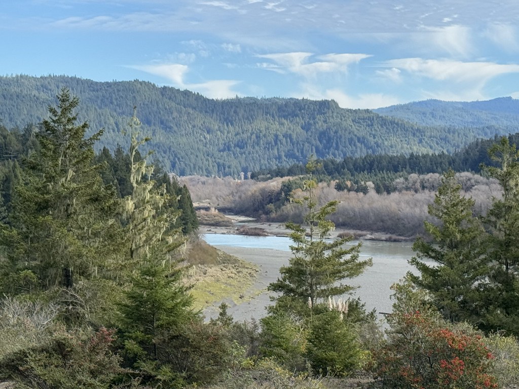
The riparian corridor supports diverse flora including redwoods, Douglas fir, and various deciduous trees. Wildlife such as black bears, river otters, and numerous bird species can be spotted along the banks. Salmon and steelhead runs occur in the river, though populations have declined in recent decades.
Key landmarks include Ruth Lake, formed by R.W. Matthews Dam, and the historic Hammond Trail bridge near the river's mouth. The Mad River Fish Hatchery, located east of Arcata, offers insight into local fisheries management.
Primary access points include put-ins at Ruth Reservoir, Highway 36 crossings, and various points in Humboldt County. The towns of Blue Lake and Arcata provide nearby amenities for paddlers.
Historically, the Mad River played a crucial role in the region's logging industry, with its waters used to transport timber. Today, it remains an important water source for local communities and agriculture.
Safety considerations include fluctuating water levels, strainers, and cold water temperatures year-round. Paddlers should check current conditions and be prepared for remote stretches with limited cell coverage. For those seeking multi-day adventures, camping options exist along some sections, though careful planning is required due to limited designated sites and private property concerns.
Water access, boat ramps & amenities
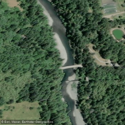
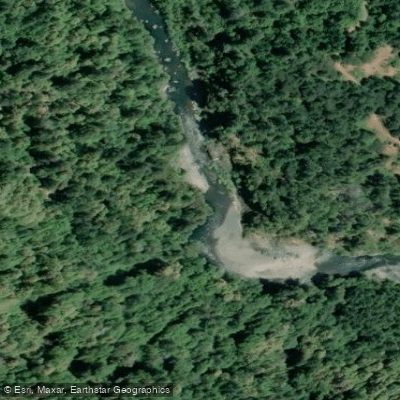
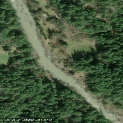
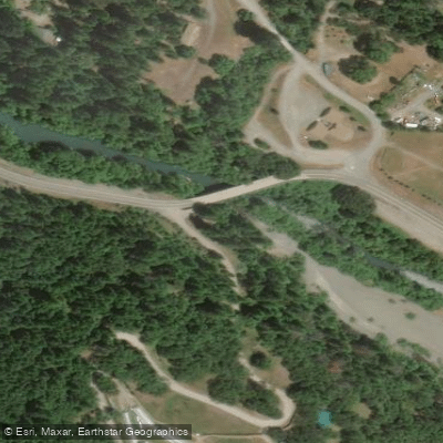
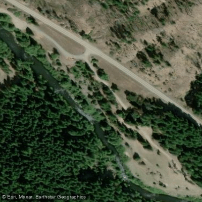
Learn how to get on Mad River. Uncover great paddling access points, boat ramps, and all the facilities you need for an unforgettable day on the water. Some locations shown may border or include private property. Always check property boundaries and applicable regulations before visiting. PaddleWays's Public & Private Land layer can help you plan your access with confidence.
Paddle smarter with real-time insights
Whether you're en route and conditions shift or you're looking for the best spot based on current flows, we enable you to make informed decisions on the fly.








Find Places to Paddle

Over 400,000 Places to Paddle
Every user gets free access to launch points, boat ramps, and public property parcels.


Water and weather conditions (10 day forecast)
See the best times to paddle Mad River and check the forecast before you go.
MAD R AB RUTH RES NR FOREST GLEN CA
All Flow Stations
Paddling near Mad River
Eel River
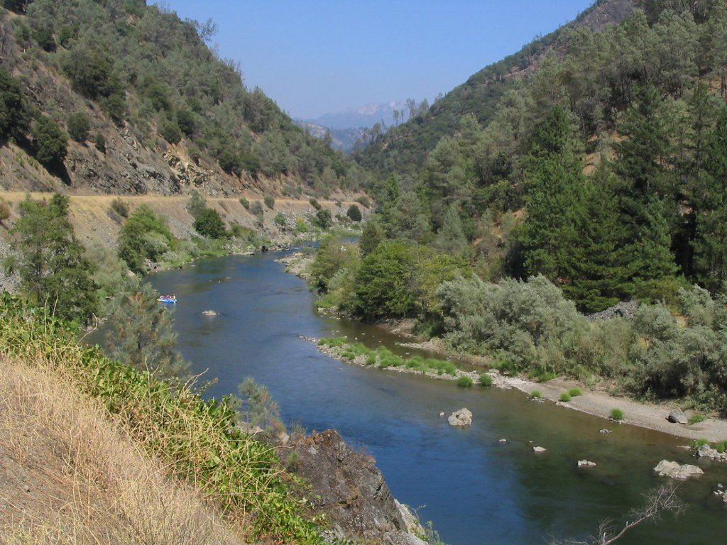
Trinity River
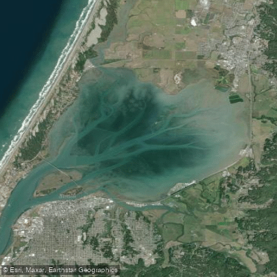
Arcata Bay

Klamath River
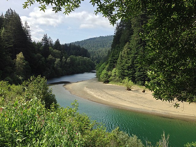
South Fork Eel River
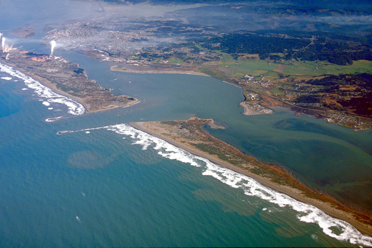
Humboldt Bay
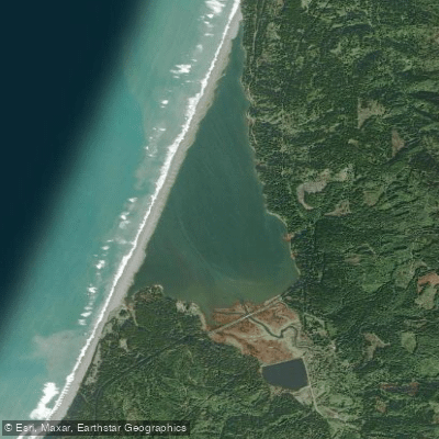
Big Lagoon
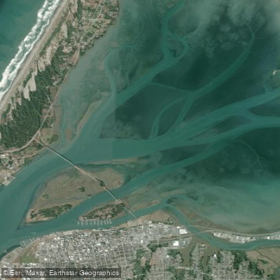
Arcata Channel
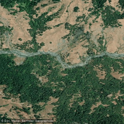
Van Duzen River
Explore California waters
Top paddling waters
Popular Cities
Loading popular cities...
Explore near Mad River
Access points
Nearby waters
More in California

Smarter Paddling Starts in the App.
Paddleways gives you everything you need to plan smarter, paddle better, and own every trip from first launch to takeout.