South Haiwee Reservoir
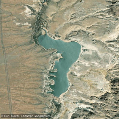
South Haiwee Reservoir
- Boat Ramps
- 0
- Access Points
- 0
- Campsites
- 0
South Haiwee Reservoir is located in Inyo County, California, approximately 23 miles south of Lone Pine. Completed in 1913, this reservoir serves as a vital water resource for irrigation and domestic use, particularly for supplying drinking water to Los Angeles as part of the Los Angeles Aqueduct-Owens River system.
The reservoir has a storage capacity of 60,600 acre-feet and covers a surface area of 1,350 acres. It is situated on the Rose Valley river stream and features a dam with a height of 81 feet and a hydraulic height of 67 feet. The dam is owned and operated by the Los Angeles Department of Water and Power (LADWP) and is regulated by the California Department of Water Resources.
Water quality is a significant concern at South Haiwee Reservoir. It has been listed under the Clean Water Act Section 303(d) for copper impairment since 1994. This listing resulted from elevated copper residuals found in fish tissue and two fish kills in 1991 and 1994 linked to copper sulfate applications used to control algae blooms. While no fish kills have been observed since 1994, copper concentrations remain above water quality criteria levels.
The reservoir's primary purpose is water supply, and recreational activities such as paddling are not a focus here. Potential paddlers should be aware that the reservoir's main function is not recreation, and access may be restricted.
The area around South Haiwee Reservoir has historical significance. The original settlement of Haiwee, which began in 1864 as a waystop on the road between Visalia and Owens Valley, is now submerged beneath the reservoir waters. This site was involved in conflicts during the Owens Valley Indian War, including an attack in 1865 that led to the Owens Lake Massacre.
The climate around South Haiwee Reservoir is hot-summer Mediterranean. Due to its high elevation and low humidity, the area experiences significant diurnal temperature variations, with temperature differences of up to 30°F between daily highs and lows being common.
The reservoir has a history of fish populations, though the current state of the fishery is unclear due to past water quality issues.
Given the reservoir's primary function as a water supply source and its history of water quality concerns, potential paddlers should contact local authorities for current regulations, access points, and safety considerations before planning any trips to South Haiwee Reservoir.
Water access, boat ramps & amenities
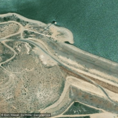
Learn how to get on South Haiwee Reservoir. Uncover great paddling access points, boat ramps, and all the facilities you need for an unforgettable day on the water. Some locations shown may border or include private property. Always check property boundaries and applicable regulations before visiting. PaddleWays's Public & Private Land layer can help you plan your access with confidence.
Paddle smarter with real-time insights
Whether you're en route and conditions shift or you're looking for the best spot based on current flows, we enable you to make informed decisions on the fly.








Find Places to Paddle

Over 400,000 Places to Paddle
Every user gets free access to launch points, boat ramps, and public property parcels.


Water and weather conditions (10 day forecast)
See the best times to paddle South Haiwee Reservoir and check the forecast before you go.
No forecast data available.
Paddling near South Haiwee Reservoir
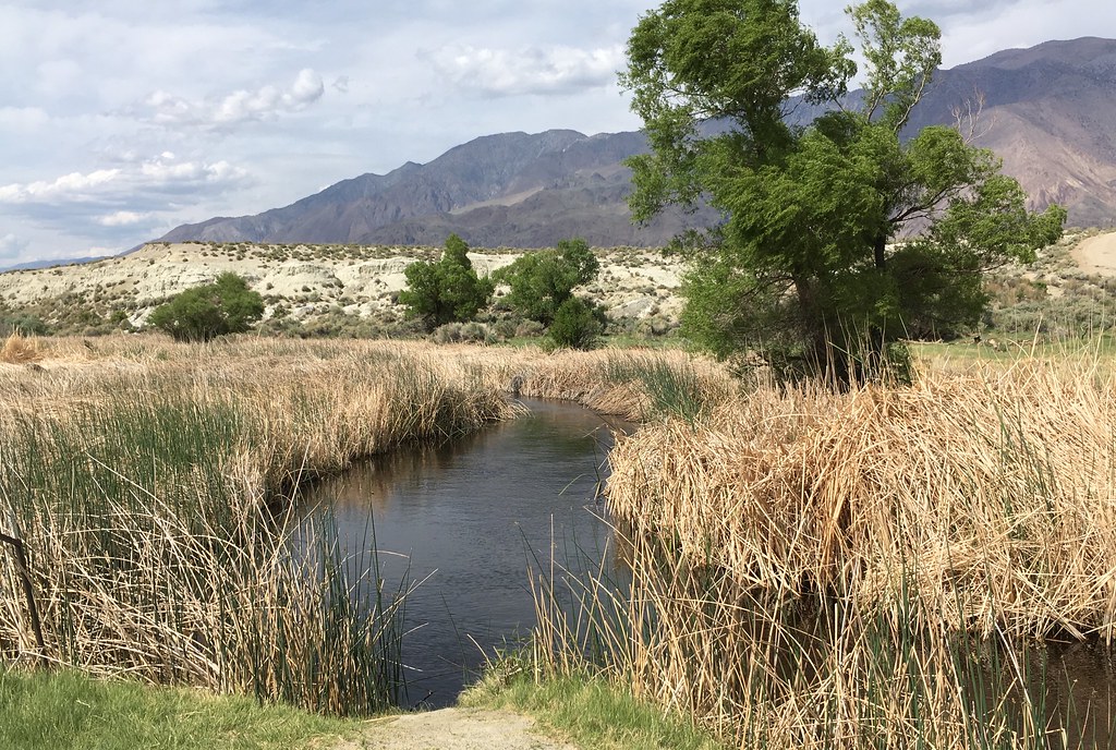
Owens River
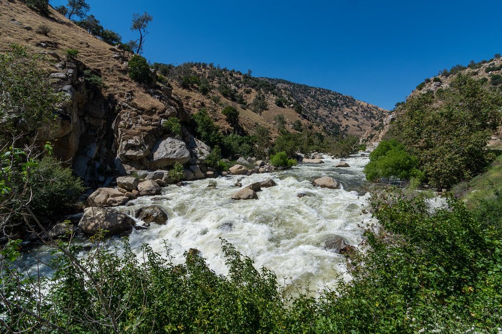
Kern River
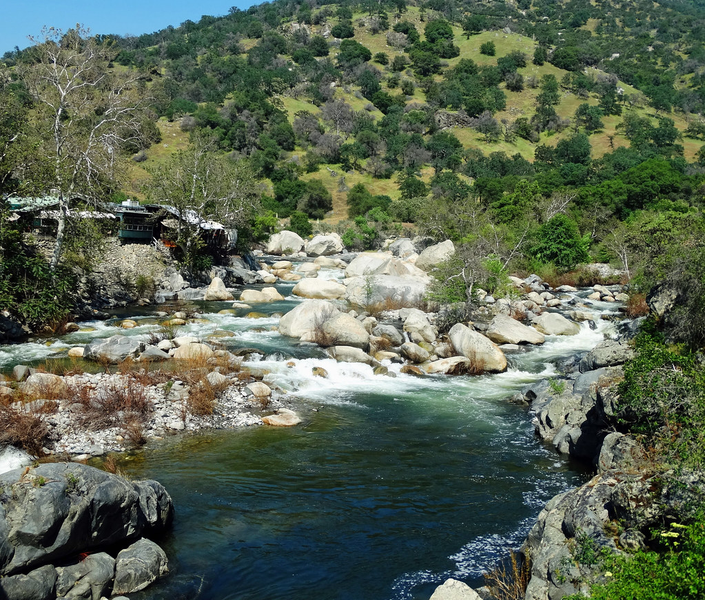
Kaweah River
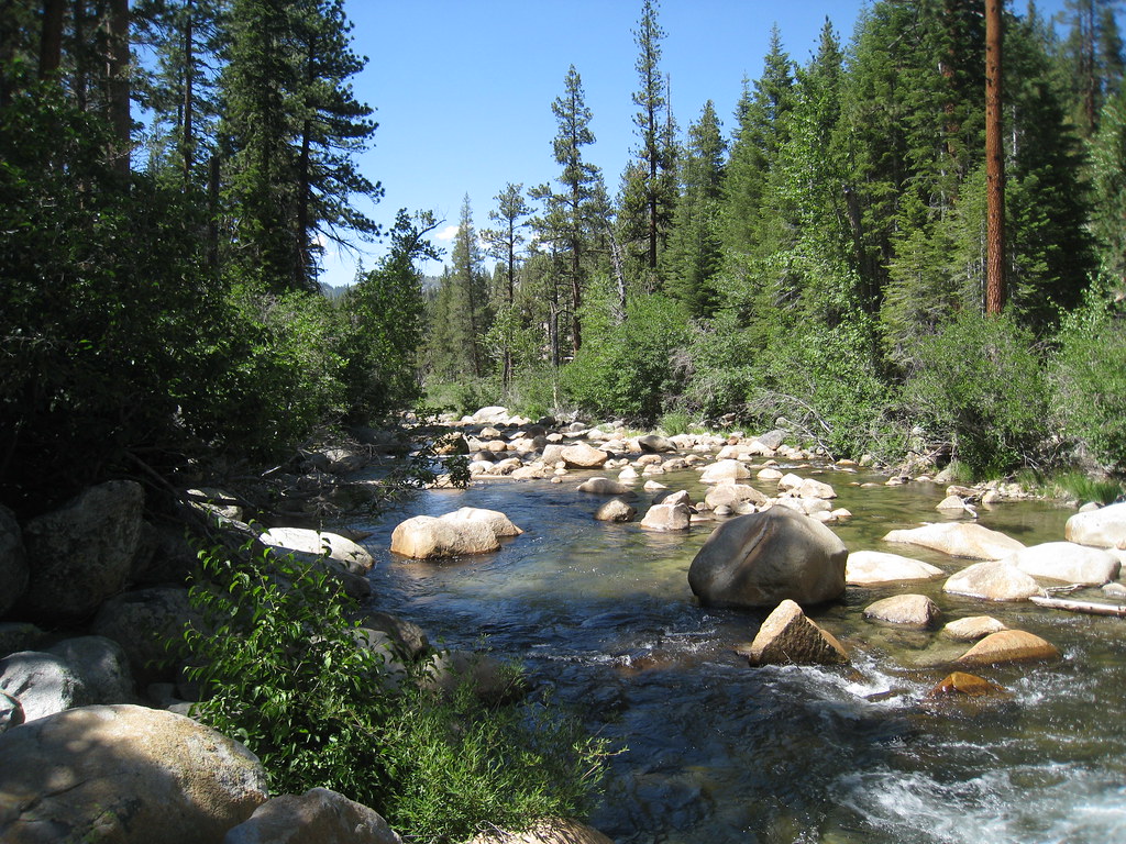
South Fork San Joaquin River
South Fork Bishop Creek
South Fork Kern River
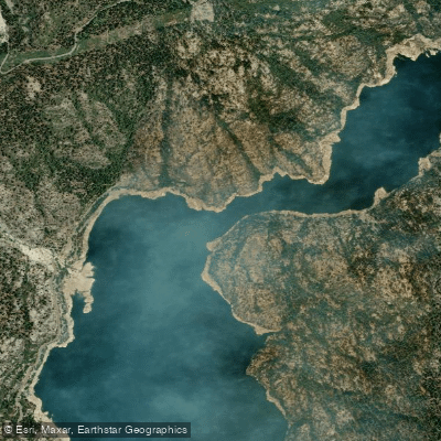
North Fork Kings River
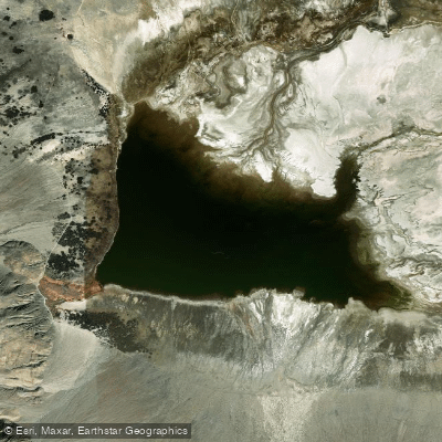
Salt Lake
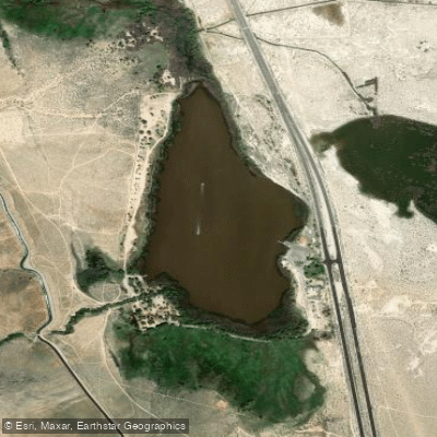
Diaz Lake
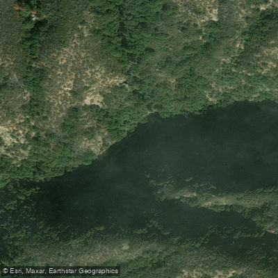
East Fork Kaweah River
Explore California waters
Top paddling waters
Popular Cities
Loading popular cities...
Explore near South Haiwee Reservoir

Smarter Paddling Starts in the App.
Paddleways gives you everything you need to plan smarter, paddle better, and own every trip from first launch to takeout.