Temecula Creek
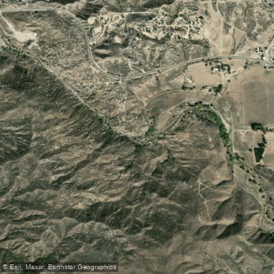
Temecula Creek
- Boat Ramps
- 1
- Access Points
- 2
- Campsites
- 3
Temecula Creek, formerly known as the Temecula River, is a 32.6-mile waterway flowing through southern Riverside County in Southern California. Originating in the coastal mountains, it runs westward past the rural communities of Radec and Aguanga before joining with Murrieta Creek to form the Santa Margarita River just southeast of the city of Temecula.
The creek's most notable paddling section is the 6-mile Temecula Gorge run, which begins at the confluence of Temecula and Murrieta Creeks. This Class II-III stretch cuts through scenic coastal mountains, offering an exciting whitewater experience for intermediate paddlers. The character of the run can vary significantly based on flow contributions from both creeks, with higher flows in Murrieta Creek creating more challenging conditions.
Paddling is best in winter and spring when rainfall and snowmelt increase water levels. However, flows can fluctuate dramatically due to releases from Vail Lake Dam, located about 10 miles upstream of the gorge. Paddlers must check current conditions and be prepared for potential rapid changes in water levels.
The riparian corridor supports a diverse ecosystem, with cottonwoods, willows, and sycamores lining the banks. Wildlife such as mule deer, coyotes, and various bird species may be spotted along the route.
Key landmarks include the Vail Lake Dam, built in 1948 by the Vail Ranch owners, which significantly altered the creek's hydrology. The gorge section passes beneath Willow Glen Road about 2 miles into the run, providing a potential emergency exit point.
Access to the Temecula Gorge run is via the confluence of Temecula and Murrieta Creeks for put-in, with take-out at the Sandia Creek Road bridge. The nearby city of Temecula offers amenities for paddlers.
Temecula Creek holds cultural significance as part of the ancestral lands of the Luiseño people and played a role in the early ranching history of the region. Today, it serves as an important water resource and recreational asset for the growing communities of the Temecula Valley.
Safety considerations include being aware of potential flash floods, especially during storm events, and the impact of dam releases on water levels. Paddlers should scout rapids, wear appropriate safety gear, and be prepared for remote conditions in the gorge.
While primarily a day-trip destination, experienced paddlers might combine the Temecula Gorge run with downstream sections of the Santa Margarita River for a multi-day adventure, though careful planning is required due to access limitations and potential low water levels.
Water access, boat ramps & amenities
Learn how to get on Temecula Creek. Uncover great paddling access points, boat ramps, and all the facilities you need for an unforgettable day on the water. Some locations shown may border or include private property. Always check property boundaries and applicable regulations before visiting. PaddleWays's Public & Private Land layer can help you plan your access with confidence.
Paddle smarter with real-time insights
Whether you're en route and conditions shift or you're looking for the best spot based on current flows, we enable you to make informed decisions on the fly.








Find Places to Paddle

Over 400,000 Places to Paddle
Every user gets free access to launch points, boat ramps, and public property parcels.


Water and weather conditions (10 day forecast)
See the best times to paddle Temecula Creek and check the forecast before you go.
TEMECULA C NR AGUANGA CA
All Flow Stations
Paddling near Temecula Creek
Santa Ana River
Lake Elsinore
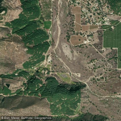
San Luis Rey River
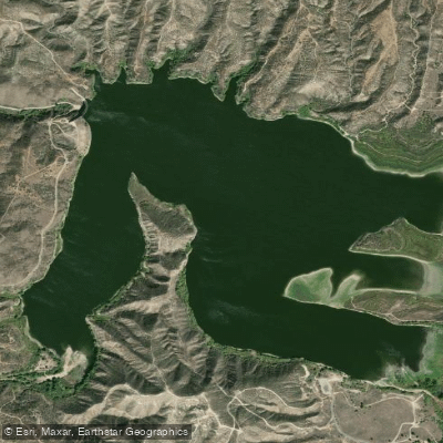
Vail Lake
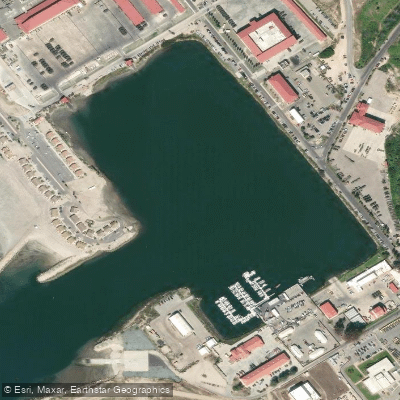
Del Mar Boat Basin
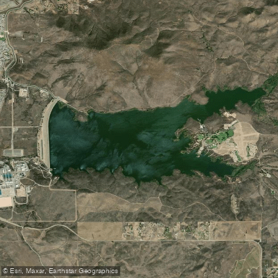
Skinner Reservoir
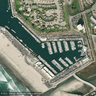
Oceanside Harbor
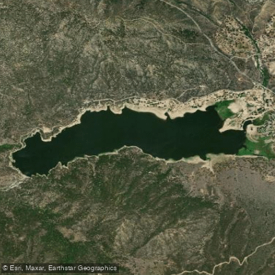
Lake Hemet
Explore California waters
Top paddling waters
Popular Cities
Loading popular cities...
Explore near Temecula Creek
Access points
Nearby waters
More in California

Smarter Paddling Starts in the App.
Paddleways gives you everything you need to plan smarter, paddle better, and own every trip from first launch to takeout.