Vail Lake
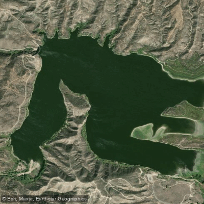
Vail Lake
- Boat Ramps
- 1
- Access Points
- 2
- Campsites
- 1
Vail Lake, a 1,000-acre drinking water reservoir located in Temecula, California, is currently closed to paddling activities. The lake features over 28,000 feet of shoreline and sits at the base of Oak Mountain, but as a limited body contact lake managed by the Rancho California Water District, kayaks, canoes, stand-up paddleboards, and all other watercraft are explicitly prohibited.
The lake has a maximum depth of 93 feet near the dam and a total storage capacity of 45,000 acre-feet, though water levels have dropped significantly due to drought conditions. While the lake itself is off-limits for paddling, the surrounding 400-acre property offers alternative recreational opportunities including hiking trails and bird watching access to the shoreline.
The lake was originally constructed in the early 1900s by the Vail Cattle Ranch as a water source for livestock, then was expanded to its current size in the early 1980s. Today, it serves as a crucial component of Riverside County's drinking water system, providing 25-40% of the local water supply through groundwater recharge.
While paddling is not permitted, the lake supports diverse wildlife including bald eagles, golden eagles, and great blue herons. The protected watershed around the lake provides habitat for nearly 40 endangered and sensitive species of plants and animals.
For visitors interested in water-based recreation in the Temecula area, alternative destinations should be sought, as Vail Lake's primary function as a drinking water reservoir precludes paddling activities for the foreseeable future. The Rancho California Water District maintains strict enforcement of these regulations to protect water quality.
Water access, boat ramps & amenities
Learn how to get on Vail Lake. Uncover great paddling access points, boat ramps, and all the facilities you need for an unforgettable day on the water. Some locations shown may border or include private property. Always check property boundaries and applicable regulations before visiting. PaddleWays's Public & Private Land layer can help you plan your access with confidence.
Paddle smarter with real-time insights
Whether you're en route and conditions shift or you're looking for the best spot based on current flows, we enable you to make informed decisions on the fly.








Find Places to Paddle

Over 400,000 Places to Paddle
Every user gets free access to launch points, boat ramps, and public property parcels.


Water and weather conditions (10 day forecast)
See the best times to paddle Vail Lake and check the forecast before you go.
No forecast data available.
Paddling near Vail Lake
Santa Ana River
Lake Elsinore
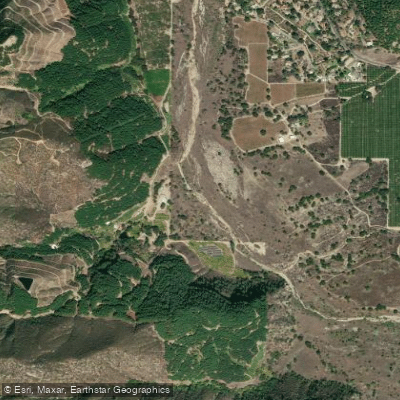
San Luis Rey River
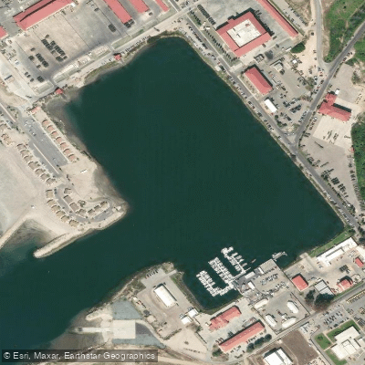
Del Mar Boat Basin
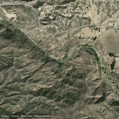
Temecula Creek
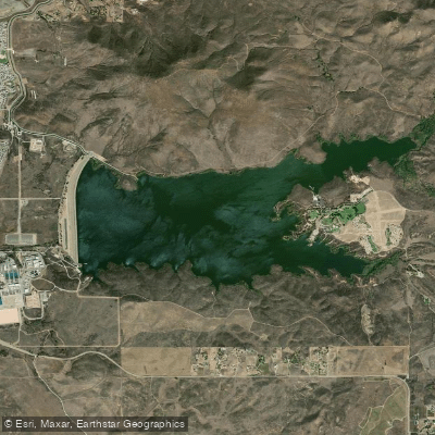
Skinner Reservoir
Oceanside Harbor
Lake Hemet
Explore California waters
Top paddling waters
Popular Cities
Loading popular cities...
Explore near Vail Lake

Smarter Paddling Starts in the App.
Paddleways gives you everything you need to plan smarter, paddle better, and own every trip from first launch to takeout.